Search the Special Collections and Archives Portal
Search Results
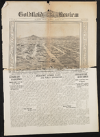
Goldfield Review: newspaper issue
Date
1907-08-17
Archival Collection
Description
From the C. A. Earle Rinker Papers (MS-00514) -- Series III: Maps, newspapers, souvenirs, and ephemera -- Newspapers from Goldfield, Nevada and various locations.
Text
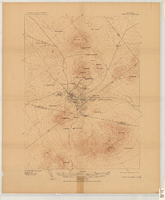
Tonopah, Nevada mining map, March 1904
Date
1904-03
Description
'U.S. Geological Survey, George Otis Smith, Director.' 'R.U. Goode, Geographer in charge. Triangulation by U.S. Coast and Geodetic Survey. Topography by W.J. Peters. Surveyed in 1902-1903.' 'Edition of Mar. 1904, reprinted Apr. 1910.' Oriented with north toward the upper left. Relief shown by contours and hachures. Scale 1:12,000 (W 117°14´--W 117°12´/N 38°05´--N 38°03´)
Text
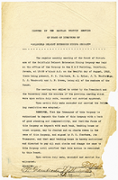
Minutes of the regular monthly meeting of the Board of Directors of Goldfield Belmont Extension Mining Company, August 12, 1912
Date
1912-08-12
Archival Collection
Description
Minutes of the regular monthly meeting of the Board of Directors of Goldfield Belmont Extension Mining Company, August 12, 1912
Text
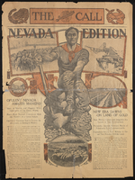
San Francisco Call - Nevada Edition: newspaper issue
Date
1905-05-23
Archival Collection
Description
From the C. A. Earle Rinker Papers (MS-00514) -- Series III: Maps, newspapers, souvenirs, and ephemera -- Newspapers from Goldfield, Nevada and various locations.
Text
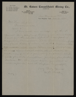
Correspondence, W.H. Clarke to Levi Syphus
Date
1905-02-09
Archival Collection
Description
This folder is from the "Correspondence" file of the Sadie and Hampton George Papers (MS-00434)
Text
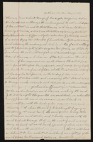
Authorization to sell mining interests
Date
1909-11-05
Archival Collection
Description
This folder is from "Legal Records" file of the Sadie and Hampton George Papers (MS-00434)
Text

Receipt: Sadie George
Date
1908-05-20
Archival Collection
Description
This folder is from "Financial Records" file of the Sadie and Hampton George Papers (MS-00434)
Text
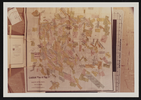
Goldfield Mineral Map: photograpic print
Date
1905 (year approximate)
Archival Collection
Description
Goldfield Mineral Map drawn by May Bradford circa 1905.
Image
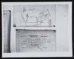
Mining maps: photographic print
Date
1905 (year approximate)
Archival Collection
Description
Mining maps drawn by May Bradford circa 1905.
Image
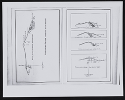
Mining diagrams: photographic print
Date
1905 (year approximate)
Archival Collection
Description
Mining diagrams drawn by May Bradford, around 1905.
Image
Pagination
Refine my results
Content Type
Creator or Contributor
Subject
Archival Collection
Digital Project
Resource Type
Year
Material Type
Place
Language
Records Classification
