Search the Special Collections and Archives Portal
Search Results
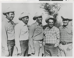
Photograph of unidentified group of men, circa 1940s
Date
1940 to 1949
Archival Collection
Description
Black and white image of unidentified group of men. (Location unknown)
Image
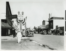
Photograph of Fremont street, Las Vegas, circa 1930s
Date
1930 to 1939
Archival Collection
Description
Black and white image of Fremont Street. (Note Boulder Club and Union Labor Temple on second floor of the Boulder Club.)
Image
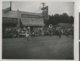
Photograph of Fremont Street, Las Vegas, circa late 1940s
Date
1945 to 1949
Archival Collection
Description
Black and white photograph of parade of some sort between 7th and 8th street of Fremont Street in late 1940s, possibly Helldorado Parade.
Image
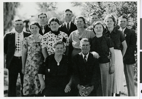
Photograph of the Frehner family, circa 1930s-1940s
Date
1930 to 1949
Archival Collection
Description
A Frehner family portrait
Image
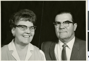
Photograph of Merle and Beulah Frehner, circa 1950s-1960s
Date
1950 to 1969
Archival Collection
Description
Merle and Beulah Frehner
Image
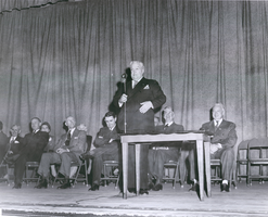
Photograph of a democratic rally, unknown location, circa 1950s
Date
1950 to 1959
Archival Collection
Description
Democratic rally featuring Berkeley Bunker, Pat McCarran, Ed Clark
Image
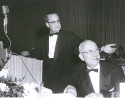
Photograph of C. D. Baker and Senator Alan Bible at a democratic function, unknown location, circa 1950s
Date
1950 to 1959
Archival Collection
Description
A democratic function with C.D. Baker and Sen. Alan Bible.
Image
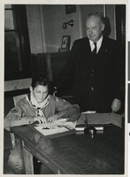
Photograph of Harry Hazard, 1947
Date
1947
Archival Collection
Description
Black and white photograph of H.E. "Hap" Hazard standing next to a boy reading at the table.
Image
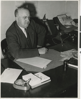
Photograph of Roger Foley, circa 1950s and 1950s
Date
1940 to 1959
Archival Collection
Description
Black and white photograph of Roger Foley.
Image
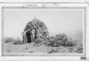
Photograph of Don Schuyler, Sr. on a survey crew with the U. S. Coast and Geodetic Survey at the Powell Cairn, Garfield County, Utah, circa 1935
Date
1933 to 1937
Archival Collection
Description
Donald Richard Schuyler, Sr. on a survey crew with the U.S. Coast and Geodetic Survey at the Powell Cairn, circa 1935. Powell Cairn was built about 1880 by John Wesley Powell on his exploration of the southwestern United States. The Powell Survey Cairn is located in Garfield County, Utah, at N37.93193° W112.20548° (NAD83) and at an elevation of 10216 ft MSL. The primary coordinates for Powell Survey Cairn places it within the ZIP Code 84712 delivery area. It can be seen on the USGS 1:24K topographic map Adams Head, UT.
Image
Pagination
Refine my results
Content Type
Creator or Contributor
Subject
Archival Collection
Digital Project
Resource Type
Year
Material Type
Place
Language
