Search Results
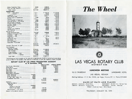
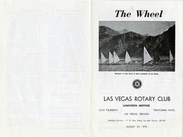
The Wheel Las Vegas Rotary Club newsletter, January 25, 1979
Date
Archival Collection
Description
Text
Las Vegas Rotary Club 50th Anniversary Program, 1973
Date
Archival Collection
Description
Text
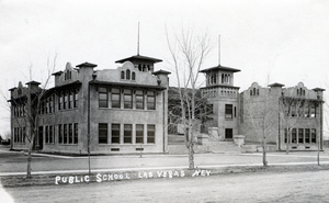
Postcard of Las Vegas Public School, Las Vegas, 1924
Date
Archival Collection
Description
Image
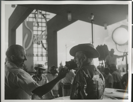
Photograph of filming of "Meet Me in Las Vegas," Sands Hotel, Las Vegas, Nevada, circa 1955-1956
Date
Archival Collection
Description
Image
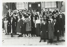
Photograph of the students and faculty at Las Vegas School, Las Vegas (Nev.), 1917
Date
Archival Collection
Description
Image
Las Vegas and Tonopah Railroad Blueprints
Identifier
Abstract
The Las Vegas and Tonopah Railroad Blueprints consists of twenty-four of the original thirty blueprints as part of the Interstate Commerce Commission (I.C.C.) Valuation Index Section I. They are labeled "Right-of-Way & Track Map, Las Vegas & Tonopah Railroad" and dated June 30, 1915. The blueprints contain four miles of railroad lines per sheet with a scale of 6 3/4 inches per mile. The collection also includes one sheet from the Bullfrog Goldfield Railroad company, which used the track, yard, and facilities of the Las Vegas and Tonopah and Railroad company between Beatty and Goldfield, Nevada.
Archival Collection
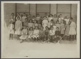
Photograph of Las Vegas School students, Las Vegas, Nevada, 1910
Date
Archival Collection
Description
Image

Brochure, Pioneer Trail of West Las Vegas community
Date
Archival Collection
Description
Brochure highlights and maps historic points of interest in West Las Vegas.
Text
The Wheel Las Vegas Rotary Club newsletter, August 20, 1970
Date
Archival Collection
Description
Text
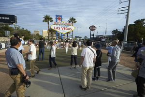
People gather at the 1 October memorial located at the Welcome to Las Vegas sign, looking north in Las Vegas, Nevada: digital photograph
Date
Archival Collection
Description
Following the October 1, 2017 killing of 58 people at the Route 91 Harvest Music Festival on the Las Vegas Strip, the Las Vegas community responded in a variety of ways. This series of photographs document the impromptu memorial created at the Welcome to Las Vegas sign.
Image