Search the Special Collections and Archives Portal
Search Results
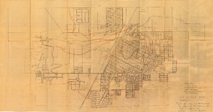
Map of Las Vegas, Nevada, annotated to show different soil types, September 2, 1948
Date
1948-09-02
Archival Collection
Description
'Types of soil as determined by James M. Montgomery for use in appraisal. (Copy). LRM 7/10/52'--handwritten in blue pencil in lower right corner of map. 'September 2, 1947. Revised September 2, 1948.' Soil was designated as badly corrosive, mildly corrosive, or non-corrosive by hand-drawn colored lines and hand-printed labels. Soil was surveyed to measure its effect on water pipes. Scale [ca. 1:7,200] 1 in.=600 feet.
Image
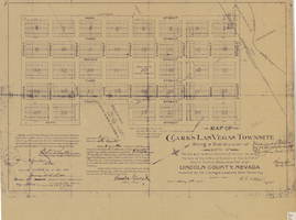
Map of Clark's Las Vegas Townsite, May 8, 1905
Date
1905-05-08
Archival Collection
Description
'Book 1, Page 37.' 'Dated: May 8th, 1905.' Subtitle: 'Being a sub-division of parts of the W.1/2 and the W.1/2 of the N.E.1/4 of Section 34 and the S.1/2 of the S.W.1/4 of Section 27 T.20 S.R. 61 E, Mount Diablo Base and Meridian, Lincoln County, Nevada. A Plat map. Blueline print. Scale [ca. 1:2,400]. 1 in. to 200 feet.
Text
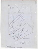
Plat showing cultivated land in the Stewart Ranch, Las Vegas, Nevada, December 8, 1902
Date
1902-12-08
Archival Collection
Description
'John T. McWilliams, U.S.M. Surveyor, Goodsprings, Nevada.' 'Dec. 8th 1902.' '60-A-Pt.II' handwritten in upper right corner. This is map of the Stewart Ranch, which was originally the Las Vegas Ranch, site of the Old Mormon Fort. Drawn with ink and colored pencil. Two holes punched on right side..
Image
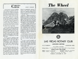
The Wheel Las Vegas Rotary Club newsletter, December 22, 1976
Date
1976-12-22
Archival Collection
Description
Newsletter issued by the Las Vegas Rotary Club
Text
Pagination
Refine my results
Content Type
Creator or Contributor
Subject
Archival Collection
Digital Project
Resource Type
Year
Material Type
Place
Language
Records Classification


