Search Results
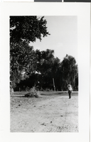
Photograph of Las Vegas Ranch, Las Vegas, circa 1930s
Date
Archival Collection
Description
Image
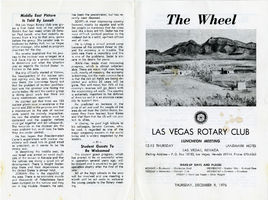
The Wheel Las Vegas Rotary Club newsletter, December 9, 1976
Date
Archival Collection
Description
Text
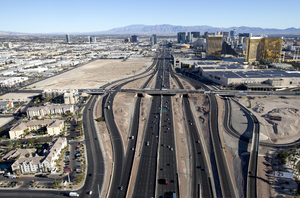
Las Vegas resort corridor, Las Vegas, Nevada: digital photograph
Date
Archival Collection
Description
Image
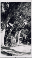
Transparency of Las Vegas Ranch, Las Vegas, circa early 1900s
Date
Archival Collection
Description
Image
Transparency of Las Vegas Ranch, Las Vegas, circa early 1900s
Date
Archival Collection
Description
Image
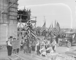
Film transparency of Las Vegas High School, Las Vegas, February 22, 1930
Date
Archival Collection
Description
Image
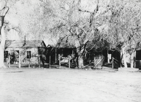
Photograph of Las Vegas Ranch, Las Vegas, circa 1900-1926
Date
Archival Collection
Description
Image
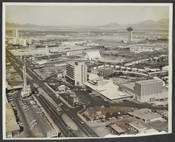
Aerial photograph of Las Vegas Boulevard, Las Vegas, Nevada, circa 1964
Date
Archival Collection
Description
Image
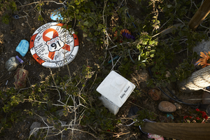
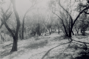
Decorations at the Las Vegas Community Healing Garden, looking west-northwest in Las Vegas, Nevada: digital photograph
Date
Archival Collection
Description
Following the October 1, 2017 killing of 58 people at the Route 91 Harvest Music Festival on the Las Vegas Strip, the Las Vegas community responded in a variety of ways. Envisioned by activists and built by volunteers, the City of Las Vegas established the Las Vegas Community Healing Garden at 1015 S. Casino Center Boulevard to honor the victims and give family members and the community a place to gather to remember.
Image
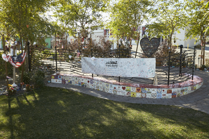
Landscaping at the Las Vegas Community Healing Garden, looking south-southeast in Las Vegas, Nevada: digital photograph
Date
Archival Collection
Description
Following the October 1, 2017 killing of 58 people at the Route 91 Harvest Music Festival on the Las Vegas Strip, the Las Vegas community responded in a variety of ways. Envisioned by activists and built by volunteers, the City of Las Vegas established the Las Vegas Community Healing Garden at 1015 S. Casino Center Boulevard to honor the victims and give family members and the community a place to gather to remember.
Image