Search Results
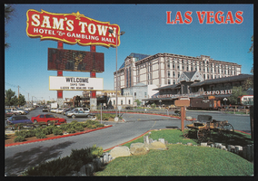
Sam's Town Hotel and Gambling Hall, image 001: postcard
Date
Archival Collection
Description
Image
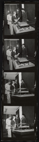
Vassili looking at a model of Artemus Ham Hall, image 001
Date
Description
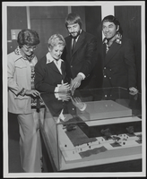
Vassili looking at a model of Artemus Ham Hall, image 002
Date
Description
Aerial image of Henderson City Hall, Henderson Municipal Court, and Henderson Detention Center, and surrounding neighborhoods in Henderson, Nevada: photographic print, approximately 1997 to 2002
Level of Description
Archival Collection
Collection Name: Brian Jones Collection of Henderson, Nevada Aerial Photographs
Box/Folder: Box SH-049
Archival Component
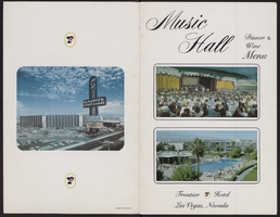
Frontier Hotel and Casino music hall, dinner menu
Date
Archival Collection
Description
Text
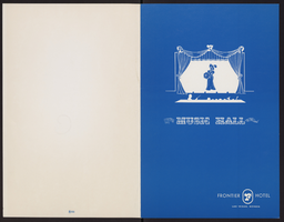
Frontier Hotel and Casino music hall, dinner menu
Date
Archival Collection
Description
Text
Las Vegas City Engineering and Planning Department Reports
Identifier
Abstract
The Las Vegas City Engineering and Planning Department Reports (1951-1981) consist of urban planning reports, transportation and parking studies, and environmental impact assessments concerning the greater Las Vegas, Nevada metropolitan area. In addition to general issues of urban planning, the collection contains materials relating to the expansion of Interstate 15 through West Las Vegas in the 1970s and early 1980s.
Archival Collection
Black History Week invitations from the City of Las Vegas
Date
Archival Collection
Description
From the Alpha Kappa Alpha Sorority, Incorporated, Theta Theta Omega Chapter Records (MS-01014) -- Chapter records file.
Text