Search the Special Collections and Archives Portal
Search Results

Film transparency of an aerial view of the Colorado River, circa 1930s
Date
Archival Collection
Description
Image
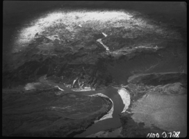
Film transparency of an aerial view of the Colorado River, circa 1930s
Date
Archival Collection
Description
Image
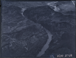
Film transparency of an aerial view of the Colorado River, circa 1930s
Date
Archival Collection
Description
Image
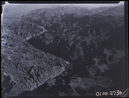
Film transparency of an aerial view of the Colorado River, circa 1930s
Date
Archival Collection
Description
Image
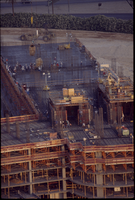
Bellagio construction: aerial photograph
Date
Archival Collection
Description
From the Greg Cava Photograph Collection (PH-00399)
Image
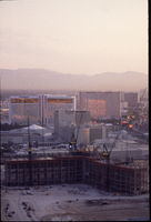
Bellagio construction: aerial photograph
Date
Archival Collection
Description
From the Greg Cava Photograph Collection (PH-00399). The Mirage, Caesars, Treasure Island, and the Stardust are visible in the background.
Image
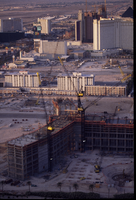
Bellagio construction: aerial photograph
Date
Archival Collection
Description
From the Greg Cava Photograph Collection (PH-00399). Visible in the background are the Jockey Club, Monte Carlo, MGM, Luxor, and airplanes.
Image
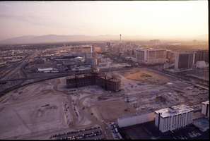
Bellagio construction: aerial photograph
Date
Archival Collection
Description
From the Greg Cava Photograph Collection (PH-00399). Also visible in the photograph are the Jockey Club, Bally's, Flamingo, Harrah's, Stratosphere, Mirage, and Treasure Island.
Image
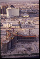
Bellagio construction: aerial photograph
Date
Archival Collection
Description
From the Greg Cava Photograph Collection (PH-00399)
Image
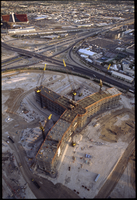
Bellagio construction: aerial photograph
Date
Archival Collection
Description
From the Greg Cava Photograph Collection (PH-00399)
Image
