Search the Special Collections and Archives Portal
Search Results
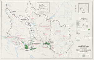
Map of Region 3 projects, Arizona-California-Nevada-New Mexico-Utah, September 1967
Date
1967-09
Description
25 x 39 cm. United States, Department of the Interior, Bureau of Reclamation. Relief shown pictorially. "Map no. X-300-738." "September 1967." Shows completed, under construction and proposed dams and reservoirs, canals, and aqueducts, power plants, pumping plants, substations, transmission lines, tunnels and siphons. Also shows non-Bureau of Reclamation dams, reservoirs, tunnels, pipelines and irrigated lands. Includes inset map of location of Region 3 and key map of drainage basins. Original Publisher: Interior.
Image
#57089: Parenting Project, 1987 October 22
Level of Description
File
Archival Collection
University of Nevada, Las Vegas Creative Services Records (1980s)
Pagination
- Previous page ‹‹
- Page 11
Archival Component
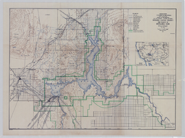
Topographic map of Boulder Canyon Project, Boulder Dam area, 1940
Date
1940
Description
Scale [ca. 1:221,760. 1 in. to approx. 3.5 miles] ; 1 map : col. ; 51 x 71 cm ; Relief shown by contours and spot heights ; Includes township and range grid ; "Map no. 40-40" ; Includes index map ; Shows power lines, triangulation stations, boundary monuments, roads, telephone lines, mines, bench marks, etc. ; U.S. Dept. of the Interior, Bureau of Reclamation
Image
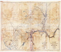
Topographic map of Boulder Canyon Project, Hoover Dam area, 1932
Date
1932
Description
Scale [ca. 1:221,760. 1 in. to approx. 3.5 miles] ; 1 map : col. ; 51 x 62 cm ; Relief shown by contours and spot heights ; "Prepared in Washington Office from compilation made in Las Vegas Office." ; "Map no. 24000." ; Includes township and range grid ; Shows power lines, triangulation stations, boundary monuments, roads, telephone lines, mines, bench marks, etc. ; Department of the Interior, Bureau of Reclamation.
Image
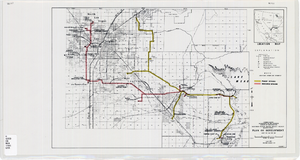
Map showing second stage plan of development for Southern Nevada Water Project, March 1981
Date
1981-03
Description
'United States Department of the Interior, Bureau of Reclamation.' 'June 1976. Revised March 1981.' 'Map No. 952-300-203.' 'Exhibit I.' Includes inset location map for project area. Scale [ca. 1:126,720. 1 in. to approx. 2 miles] . United States Department of the Interior, Bureau of Reclamation
Image
Bid tabulation booklet: multiple projects, 1970 April 22
Level of Description
File
Archival Collection
J. A. Tiberti Construction Records
Pagination
- Previous page ‹‹
- Page 11
Archival Component
Medical Advisory Panel Project Report, 1949 July 22
Level of Description
File
Archival Collection
Human Radiation Experiments Records
Pagination
- Previous page ‹‹
- Page 11
Archival Component
Fort Irwin Archaeological Project Report Number 22, 1986
Level of Description
File
Archival Collection
Elizabeth von Till and Claude N. Warren Professional Papers
Pagination
- Previous page ‹‹
- Page 11
Archival Component
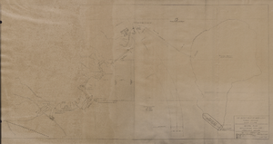
Map of general plan for the Wells Siding Project in Logandale, Nevada, May 15, 1935
Date
1935-05-15
Archival Collection
Description
'U.S. Department of Agriculture, Forest Service, Camp P.E. 206.' 'By C.C.C. Company, 538. Drawn by Ed Overton. Approved ... 5-15-35.Traced by Ed Overton.'
Image
Pagination
Refine my results
Content Type
Creator or Contributor
Subject
Archival Collection
Digital Project
Resource Type
Year
Material Type
Place
Language
Records Classification

