Search Results
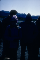
Slide of protesters near the Nevada Test Site, 1984
Date
Archival Collection
Description
Image
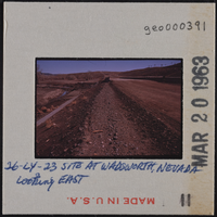
Photographic slide of archeological site in Wadsworth, Nevada, circa early 1960s
Date
Archival Collection
Description
Image
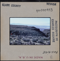
Photographic slide of Clark County, Nevada landscape, circa 1963-1964
Date
Archival Collection
Description
Image
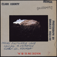
Photographic slide of Pintwater Cave entrance, Nevada, circa 1963-1964
Date
Archival Collection
Description
Image

Meeting minutes for Consolidated Student Senate, University of Nevada, Las Vegas, July 24, 1979
Date
Archival Collection
Description
Text
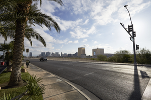
Las Vegas Stadium site pre-construction, Las Vegas, Nevada: digital photograph
Date
Archival Collection
Description
Image

Exterior view of the Golden Hotel in Las Vegas, Nevada: postcard
Date
Archival Collection
Description
Image

Meeting minutes for Consolidated Student Senate, University of Nevada, Las Vegas, October 2, 1979
Date
Archival Collection
Description
Text
Anita Freeman Photograph Collection on Southern Nevada
Identifier
Abstract
The Anita Freeman Photograph Collection on Southern Nevada (1937-1972) primarily contains black-and-white negatives depicting locations in Southern Nevada, including the Hoover Dam, Lake Mead, and Mount Charleston. The collection also includes black-and-white negatives of the Helldorado Parade held in Las Vegas, Nevada, as well as landscapes in Arizona, such as the Grand Canyon.
Archival Collection

Photograph of commencement for the University of Nevada, Las Vegas, 1981
Date
Archival Collection
Description
A picture of the commencement ceremony for the University of Nevada, Las Vegas. Pictured here is speaker Frank Waters.
Image