Search the Special Collections and Archives Portal
Search Results
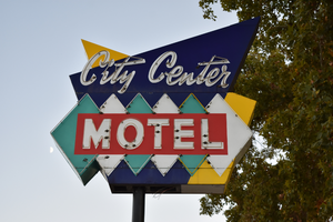
City Center Motel mounted sign, Reno, Nevada
Date
Archival Collection
Description
View of the sign for City Center Motel during the day with unlit neon. The business is closed.
365 West St, Reno, NV 89501
Image
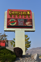
Comstock Casino mounted sign, Carson City, Nevada
Date
Archival Collection
Description
View of the mounted sign for the Comstock Casino during the day with unlit neon.
3680 Goni Rd # 1, Carson City, NV 89706
Image
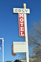
Cozy Motel flag mounted sign, Winnemucca, Nevada
Date
Archival Collection
Description
View of the flag mounted sign for the Cozy Motel during the day.
410 E Winnemucca Blvd, Winnemucca, NV 89445
Image
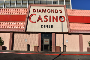
Diamond's Casino wall mounted sign, Reno, Nevada
Date
Archival Collection
Description
View of the wall mounted sign for Diamond's Casino during the day with unlit neon. The casino is a part of the Ramada by Wyndham.
1010 E 6th St, Reno, NV 89512
Image
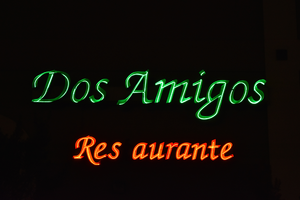
Dos Amigos wall mounted sign, Winnemucca, Nevada
Date
Archival Collection
Description
View of a wall mounted sign for Dos Amigos at night and during the day with lit neon.
1985 W Winnemucca Blvd, Winnemucca, NV 89445
Image

El Ray Motel mounted sign, Reno, Nevada
Date
Archival Collection
Description
View of the sign for the El Ray Motel, including a view showing the building after demolition.
330 N Arlington Ave, Reno, NV 89501
Image
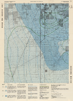
Topographic map of groundwater in the southwest quadrangle of Las Vegas, Nevada, 1985
Date
Description
Text
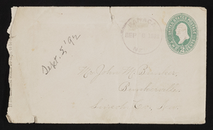
Letter and envelope from Mary Etta Syphus, Panaca, Nevada to John M. Bunker, Bunkerville, Nevada
Date
Archival Collection
Description
From the Syphus-Bunker Papers (MS-00169). The folder contains an original handwritten letter, an envelope, a typed transcription of the same letter, and a copy of original letter attached.
Text
University of Nevada, Las Vegas Phi Lambda Alpha Records
Identifier
Abstract
The University of Nevada, Las Vegas Phi Lambda Alpha Records (1968-1984) include memorabilia documenting and describing the organization's activities and procedural operations.
Archival Collection
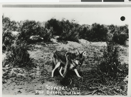
Photograph of a coyote in the Nevada desert, 1940s
Date
Archival Collection
Description
Image
