Search Results
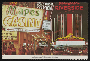
Mapes Casino and Riverside Casino in Reno, Nevada: postcard
Date
Archival Collection
Description
Image
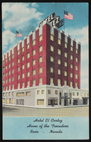
El Cortez Hotel and Casino in Reno, Nevada: postcard
Date
Archival Collection
Description
Image
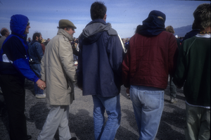
Slide of protesters at a demonstration near the Nevada Test Site, March 10, 1991
Date
Archival Collection
Description
Image
Strutt Hurley Collection on the Southern Nevada Association of Pride, Inc. (SNAPI) and Las Vegas Gay Pride
Identifier
Abstract
The Strutt Hurley Collection on the Southern Nevada Pride Association, Inc. (SNAPI) and Las Vegas Pride (1989-2000) contains materials collected and produced by Strutt Hurley during her tenure as Director of Entertainment of SNAPI. Materials include meeting minutes, advertising contracts, Las Vegas Pride programs, and ephemera collected from Pride celebrations in Las Vegas, Nevada and other parts of the United States and the world.
Archival Collection
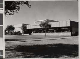
Photograph of Maude Frazier Hall, University of Nevada, Las Vegas, circa 1970s
Date
Archival Collection
Description
The exterior of the Maude Frazier Hall at the University of Nevada, Las Vegas (UNLV).
Image
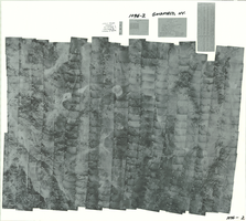
Index to aerial photographs of Caliente, Nevada: photographic print
Date
Archival Collection
Description
Image
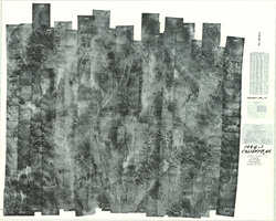
Index to aerial photographs of Goldfield, Nevada: photographic print
Date
Archival Collection
Description
Image
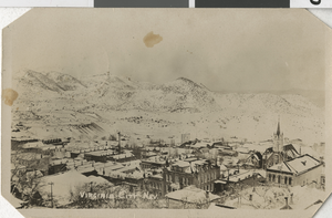
Postcard of Virginia City, Nevada, circa 1900s-1920s
Date
Archival Collection
Description
Image
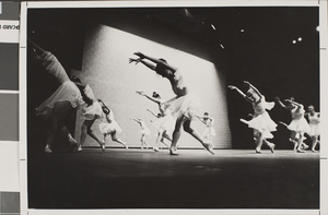
Photograph of Nevada Dance Theatre production, circa 1970s-1980s
Date
Archival Collection
Description
Nevada Dance Theatre production.
Image

Digital image of Nevada Test Site, circa 1980-1999
Date
Archival Collection
Description
Image