Search the Special Collections and Archives Portal
Search Results
Audio clip from interview with Courtney Hunt by Claytee D. White, October 2, 2013
Date
Archival Collection
Description
In this clip, Mr. Hunt, also known as "Nutt," explains how the CONVICTS motorcycle club was named, the acronymn meaning and overview of membership community activities.
Sound
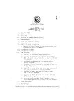
Meeting minutes for Consolidated Student Senate University of Nevada, Las Vegas, April 6, 1989
Date
Archival Collection
Description
Text
Meeting minutes for Consolidated Student Senate, University of Nevada, Las Vegas, March 27, 2006
Date
Archival Collection
Description
Text
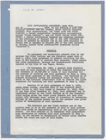
Supplemental agreement (blanks not filled) between Los Angeles & Salt Lake Railroad and partner companies and the Las Vegas Water District, C. L. D. No. 11362-1, 1954
Date
Archival Collection
Description
The purchase contract for the Las Vegas Land and Water Company allows for the contract to be annulled if its bonds are not sold by December 31, 1953. This contract rescinds that deadline, allowing as much time as needed for the sale of the bonds. Agreement that all parties will ignore the provision that any party can terminate the agreement if the bonds do not sell by May 1, 1954.
Text
Transcript of interview with Cleophis Williams by Claytee White, April 27, 2010
Date
Archival Collection
Description
In 1943, Cleophis Hill Williams was a teenager visiting her mother who had moved to Las Vegas. For most of her young life she had lived with her parents in Muskogee, Oklahoma and Paul Spur/Douglas, Arizona. The same year that she visited Las Vegas, she met her future husband Tom Williams, with whom she had nine children, all born and raised on the Westside. Tom worked construction and built their first home on G Street. For Cleophis, she focused her life on raising her children and, whenever possible, finding some precious time to read.
Text

Interview with George Robert Maynard, Sr., January 26, 2004
Date
Archival Collection
Description
Text

Interview with Theresa Dorothy (Healy) Maynard, January 26, 2004
Date
Archival Collection
Description
Text

