Search the Special Collections and Archives Portal
Search Results
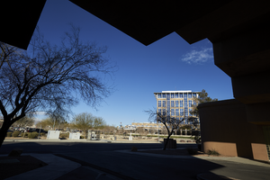
An exterior view of the North Las Vegas City Hall framed by the roofline of a medical office building on North McDaniel Street in North Las Vegas, Nevada: digital photograph
Date
Archival Collection
Description
From the UNLV University Libraries Photographs of the Development of the Las Vegas Valley, Nevada (PH-00394). Part of the collection documents the entire 19 mile length of the north/south Eastern Avenue / Civic Center Drive alignment. This photograph was captured in the section of Civic Center Drive between Las Vegas Boulevard and Lake Mead Boulevard.
Image
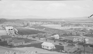
Film transparency of Boulder City, Nevada, circa 1933-1934
Date
Archival Collection
Description
Image
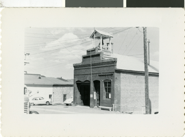
Photograph of a building in Virginia City, Nevada, circa early 1900s
Date
Archival Collection
Description
Image
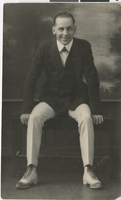
Photograph of Joe Andre, Salt Lake City (Utah), circa 1918
Date
Archival Collection
Description
Image
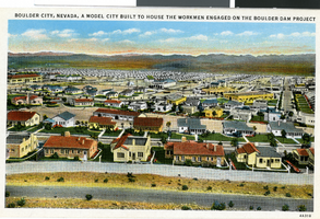
Postcard of Boulder City, circa 1930s-1940s
Date
Archival Collection
Description
Image
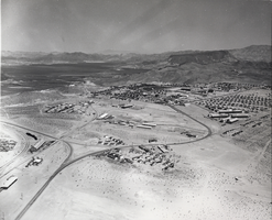
Photograph of Boulder City, Nevada, March 28, 1937
Date
Archival Collection
Description
Image
Carson City, Nevada, 1980 to 1989
Level of Description
Scope and Contents
Materials contain photographic slides of neon signs in Carson City, Nevada from 1980 to 1989.
Archival Collection
Collection Name: Neon in Nevada Photograph Collection
Box/Folder: N/A
Archival Component
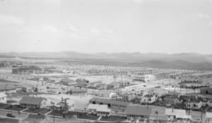
Photograph of Boulder City, Nevada, circa 1933-1934
Date
Archival Collection
Description
Image
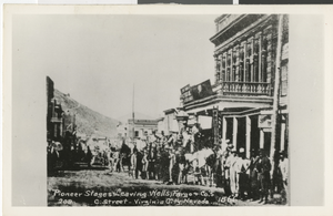
Postcard of pioneer stages on C Street, Virginia City, Nevada, 1866
Date
Archival Collection
Description
Image
Boulder City, Nevada, 1932-1952
Level of Description
Scope and Contents
Materials contain photographs of Boulder City, Nevada from 1932 to 1952, including photographs of schools, children, construction projects, and architectural sketches.
Archival Collection
Collection Name: Elbert Edwards Photograph Collection
Box/Folder: N/A
Archival Component
