Search the Special Collections and Archives Portal
Search Results
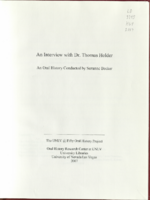
Transcript of interview with Dr. Thomas Holder by Suzanne Becker, August 08, 2006
Date
Archival Collection
Description
Text
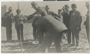
Photograph of people planting first tree in the courthouse park, Las Vegas in March 1911
Date
Archival Collection
Description
Image
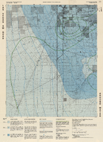
Topographic map of groundwater in the southwest quadrangle of Las Vegas, Nevada, 1985
Date
Description
Text
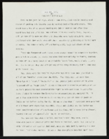
"All That Chaz": article draft by Roosevelt Fitzgerald
Date
Archival Collection
Description
From the Roosevelt Fitzgerald Professional Papers (MS-01082) -- Drafts for the Las Vegas Sentinel Voice file. On the 1980 Las Vegas Chaz Nightclub not allowing Black individuals.
Text
C. A. Earle Rinker Papers
Identifier
Abstract
The C. A. Earle Rinker Papers (1880-1960) contain materials that document the history of early twentieth century Goldfield, located in central Nevada, as well as the life of Rinker. Materials in the collection include correspondence, mining prospectuses, maps, ledgers, souvenirs, photographic negatives, and ephemera that document mining and daily life. Also included is biographical material that tells the story of Earle Rinker and his family before 1906 and after 1909, documenting his life in Indiana and Illinois.
Archival Collection
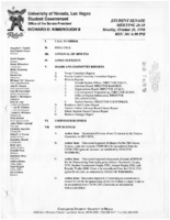
Meeting minutes for Consolidated Student Senate University of Nevada, Las Vegas, October 26, 1998
Date
Archival Collection
Description
Text
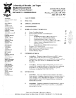
Meeting minutes for Consolidated Student Senate University of Nevada, Las Vegas, November 30, 1998
Date
Archival Collection
Description
Text
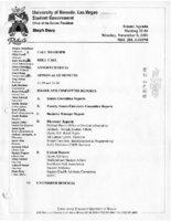
Meeting minutes for Consolidated Student Senate University of Nevada, Las Vegas, November 5, 2001
Date
Archival Collection
Description
Text
Meeting minutes for Consolidated Student Senate, University of Nevada, Las Vegas, September 27, 2004
Date
Archival Collection
Description
Text

