Search the Special Collections and Archives Portal
Search Results
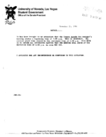
Meeting minutes for Consolidated Student Senate University of Nevada, Las Vegas, November 21, 1994
Date
Archival Collection
Description
Text
Las Vegas Review-Journal Photograph Collection
Identifier
Abstract
The Las Vegas Review-Journal Photograph Collection depicts several events in Las Vegas, Nevada from 1935 to 1983 that were documented by Nevada’s largest newspaper, the Las Vegas Review-Journal. The photographs depict the fire at the Las Vegas School in 1935, the fire at the MGM Grand Hotel and Casino in 1980, an exhibition at the Lost City Museum in 1973, a memorial event honoring the first permanent school in Las Vegas in 1980, and an exhibition at the Nevada State Museum and Historical Society in 1983. The collection also contains photographs of some denizens of Las Vegas, including people at the Hughes Bar in Las Vegas, the last Union Pacific passenger train in Las Vegas, and schoolchildren at the Las Vegas School.
Archival Collection
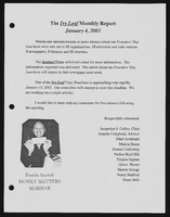
Alpha Kappa Alpha Sorority, Theta Theta Omega Chapter Ivy Leaf/public relations committee reports
Date
Archival Collection
Description
From the Alpha Kappa Alpha Sorority, Incorporated, Theta Theta Omega Chapter Records (MS-01014) -- Chapter records file.
Text
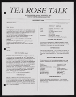
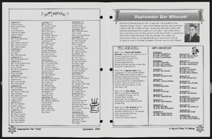
Alpha Kappa Alpha Sorority, Theta Theta Omega Chapter "Tea Rose Talk" newsletters
Date
Archival Collection
Description
From the Alpha Kappa Alpha Sorority, Incorporated, Theta Theta Omega Chapter Records (MS-01014) -- Chapter records file.
Text
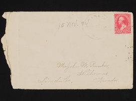
Letter and envelope from Mary Etta Syphus, Panaca, Nevada to John M. Bunker, St. Thomas, Nevada
Date
Archival Collection
Description
From the Syphus-Bunker Papers (MS-00169). The folder contains an original handwritten letter, an envelope, a typed transcription of the same letter, and a copy of original letter attached.
Text
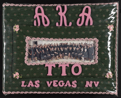
Alpha Kappa Alpha Sorority, Theta Theta Omega Chapter scrapbook
Date
Archival Collection
Description
From the Alpha Kappa Alpha Sorority, Incorporated, Theta Theta Omega Chapter Records (MS-01014).
Mixed Content
Meeting minutes for Consolidated Student Senate, University of Nevada, Las Vegas, May 17, 2004
Date
Archival Collection
Description
Text

