Las Vegas Age, Vol. XLII, No. 48 (1946-12-22), page 22
Image
, page 22")
Page
22
Digital ID
sn86076141_19461222_022
Image
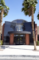
The Chabad of Las Vegas at 1261 Arville Street.
Image
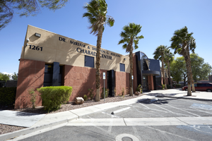
The Chabad of Las Vegas at 1261 Arville Street.
Image
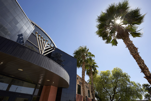
The Chabad of Las Vegas at 1261 Arville Street.
Image
, page 22")
, page 22")