Copyright & Fair-use Agreement
UNLV Special Collections provides copies of materials to facilitate private study, scholarship, or research. Material not in the public domain may be used according to fair use of copyrighted materials as defined by copyright law. Please cite us.
Please note that UNLV may not own the copyright to these materials and cannot provide permission to publish or distribute materials when UNLV is not the copyright holder. The user is solely responsible for determining the copyright status of materials and obtaining permission to use material from the copyright holder and for determining whether any permissions relating to any other rights are necessary for the intended use, and for obtaining all required permissions beyond that allowed by fair use.
Read more about our reproduction and use policy.
I agree.Information
Digital ID
Permalink
Details
More Info
Rights
Digital Provenance
Publisher
Transcription
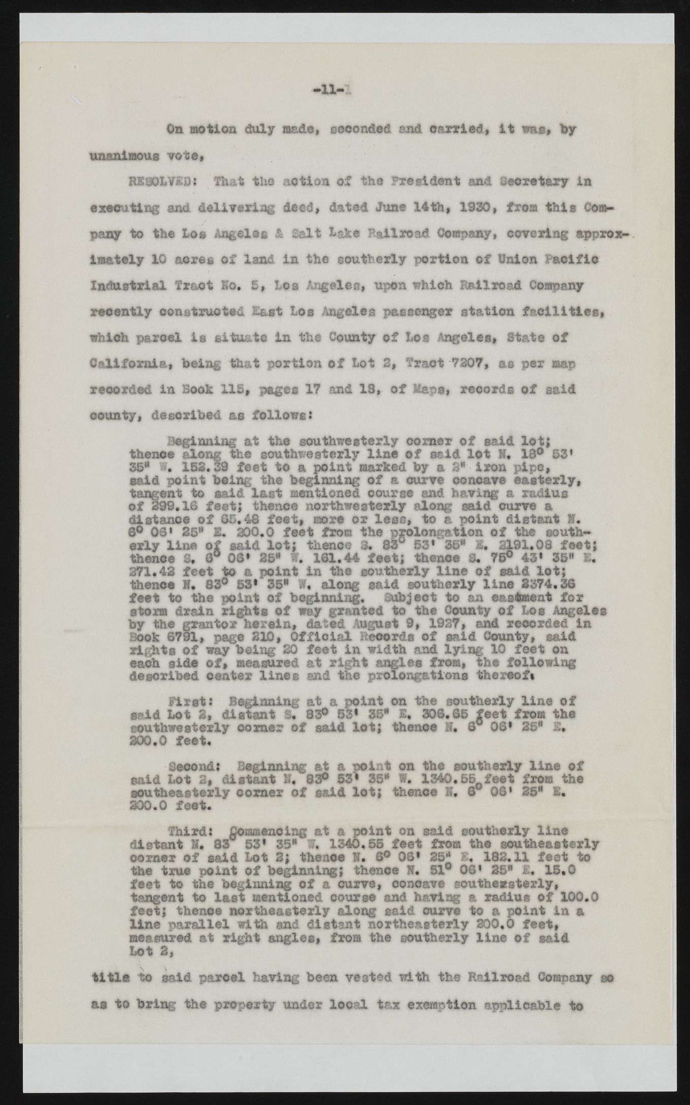
Aft-! -1 1 - 6b motion duly made, seconded and carried, It was, toy unanimous 'rote* RX06LVSOI That t h e action of the President and Secretary in executing and delivering deed, dated June 14 th, 1930, from this Company to the Loo Angeles & Salt lake Railroad Company, covering approximately 10 acres of land in the southerly portion of Union Pacific Industrial Tract Eo. I* Los Angeles, upon which Railroad Company recently constructed East Los Angeles passenger station facilities, which parcel, is situate in the County of Los Angeles, State of California, being that portion of lot 2, Tract 7307, as per map recorded in Book 115, pages 17 and 13, of Maps, records of said county, described as follows: Beginning at the southwesterly corner of said lot; thenoe along the southwesterly line of said lot H. 13° ©3* 35* f* 133.39 feet to a point marked toy a 3” iron pipe, said point toeing the beginning of a curve concave easterly, tangent to said last mentioned course and having a radius of 399.16 feet; thence northwesterly along said curve a distance of 65.48 feet, more or less, to a point distant ff» 6° OS1 25* 1. 300.0 feet fro© the prolongation of the southerly line of said lot; thenoe 3. 83° 33* 1©* 1. 2191.08 feet; thenoe 8. 6° 00* 25" W. 161.44 feet; thence 8. 73° 43* 35* £. 271.42 feet to a point in the southerly line of said lot; thenoe H. 83° 53* 35" W, along said southerly line 3374.36 feet to the point of beginning, Subject to an ©asteeat for storm drain rights of way granted to the County of bos Angeles by the grantor herein, dated August 9, 1927, and recorded in Book @791, page 310, Official Records of said County, said rights of way being 20 feet in width and lying 10 feet on each side of, measured at right angles from, the following described center lines and the prolongations thereof* First: Beginning at a point on the southerly line of said Lot 2, distant S. 83° 53* 35* 1. 306.65 feet from the southwesterly comer of said lot; thenoe I* 6° 06* 25* 1, 200.0 feet. Second: Beginning at a point on the southerly line of said Lot 2, distant If. 83® 53* 35* W. 1340.55^feet from the southeasterly comer of said lot; thenoe E. 6 06* 35* I. 200.0 feet. Third: Commencing at a point on said southerly line distant I* 83 53* 35* f, 1340.55 feet from the southeasterly corner of said Lot 2; thenoe S. 6° 06* 25* E. 182.11 feet to the true point of beginning; thence S. 51° 06* 35* £« 13.0 feet to the beginning of a curve, concave southeasterly, tangent to last mentioned course and having a radius of 100.0 feet; thenoe northeasterly along said curve to a point in a line parallel with and distant northeasterly 300.0 feet, measured at right angles, from the southerly line of said Lot 2, title too said parcel having been vested with the Railroad Company m as to bring the property under local tax exemption applicable to

