Copyright & Fair-use Agreement
UNLV Special Collections provides copies of materials to facilitate private study, scholarship, or research. Material not in the public domain may be used according to fair use of copyrighted materials as defined by copyright law. Please cite us.
Please note that UNLV may not own the copyright to these materials and cannot provide permission to publish or distribute materials when UNLV is not the copyright holder. The user is solely responsible for determining the copyright status of materials and obtaining permission to use material from the copyright holder and for determining whether any permissions relating to any other rights are necessary for the intended use, and for obtaining all required permissions beyond that allowed by fair use.
Read more about our reproduction and use policy.
I agree.Information
Digital ID
Permalink
Details
Member of
More Info
Rights
Digital Provenance
Publisher
Transcription
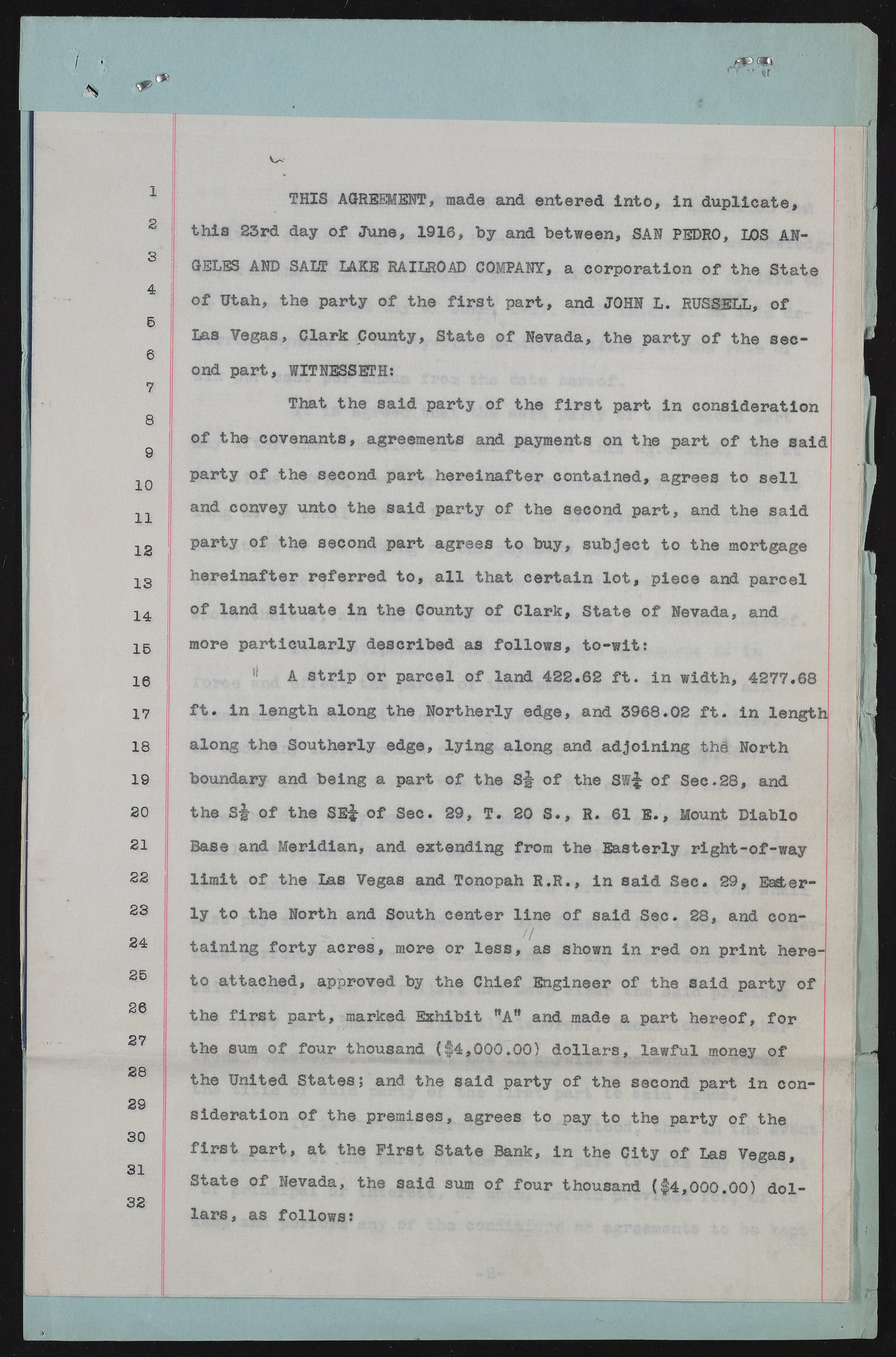
v^. 1 2 3 4 6 6 7 8 9 10 11 12 13 14 15 16 17 18 19 20 21 22 23 24 25 26 27 28 29 30 31 32 THIS AGREMENT, made and entered Into, in duplicate, this 23rd day of June, 1916, by and between, SAH PEDRO, LOS ANGELES AND SALT LAKE RAILROAD COMPANY, a corporation of the State of Utah, the party of the first part, and JOHN L. RUSSELL, of Las Vegas, Clark County, State of Nevada, the party of the second part, WITNESSETH; That the said party of the first part in consideration of the covenants, agreements and payments on the part of the said party of the second part hereinafter contained, agrees to sell and convey unto the said party of the second part, and the said party of the second part agrees to buy, subject to the mortgage hereinafter referred to, all that certain lot, piece and parcel of land situate in the County of Clark, State of Nevada, and more particularly described as follows, to-wit; A strip or parcel of land 422.62 ft. in width, 4277.68 ft. in length along the Northerly edge, and 3968.02 ft. in length! along the Southerly edge, lying along and adjoining thd North boundary and being a part of the of the Sff of Sec.28, and the S|- of the SE£ of Sec. 29, T. 20 S., R. 61 E., Mount Diablo Base and Meridian, and extending from the Easterly right-of-way limit of the Lae Vegas and Tonopah R.R., in said Sec. 29, Eagerly to the North and South center line of said Sec. 28, and containing forty acres, more or less, as shown in red on print here-] to attached, approved by the Chief Engineer of the said party of the first part, marked Exhibit WAB and made a part hereof, for the sum of four thousand ($4,000.00) dollars, lawful money of the United States; and the said party of the second part in consideration of the premises, agrees to pay to the party of the first part, at the First State Bank, in the City of Las Vegas, State of Nevada, the said sum of four thousand ($4,000.00) dollars, as follows:

