Copyright & Fair-use Agreement
UNLV Special Collections provides copies of materials to facilitate private study, scholarship, or research. Material not in the public domain may be used according to fair use of copyrighted materials as defined by copyright law. Please cite us.
Please note that UNLV may not own the copyright to these materials and cannot provide permission to publish or distribute materials when UNLV is not the copyright holder. The user is solely responsible for determining the copyright status of materials and obtaining permission to use material from the copyright holder and for determining whether any permissions relating to any other rights are necessary for the intended use, and for obtaining all required permissions beyond that allowed by fair use.
Read more about our reproduction and use policy.
I agree.Information
Digital ID
Permalink
More Info
Rights
Digital Provenance
Publisher
Transcription
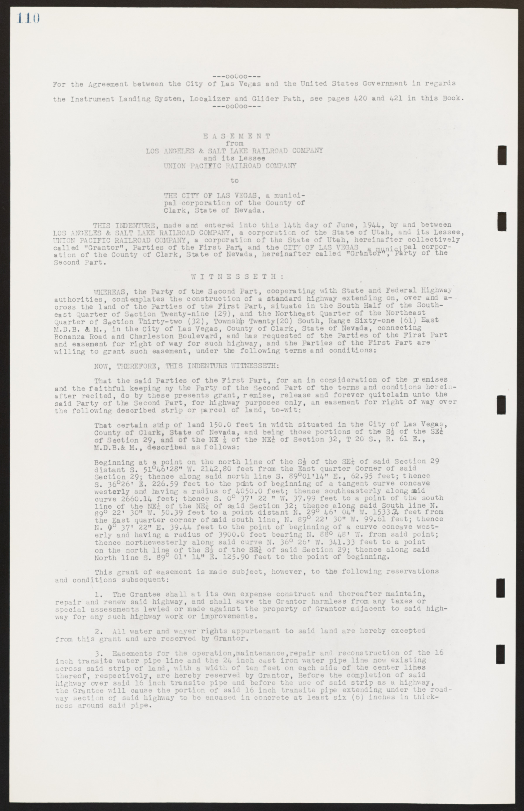
110 —-00O00---- For the Agreement between the City of Las Vegas and the United States Government in regards the Instrument Landing System, Localizer and Glider Path, see pages 420 and 421 in this Book. -—00O00-- EASEMENT from LOS ANGELES & SALT LAKE RAILROAD COMPANY and its Lessee UNION PACIFIC RAILROAD COMPANY to THE CITY OF LAS VEGAS, a municipal corporation of the County of Clark, State of Nevada. THIS INDENTURE, made and entered into this 14th day of June, 1944, by and between LOS ANGELES & SALT LAKE RAILROAD COMPANY, a corporation of the State of Utah, and its Lessee, UNION PACIFIC RAILROAD COMPANY, a corporation of the State of Utah, hereinafter collectively called "Grantor", Parties of the First Part, and the CITY OF LAS VEGAS, a municipal corporation of the County of Clark, State of Nevada, hereinafter called "Grantor", Party of the Second Part. WITNESSETH: WHEREAS, the Party of the Second Part, cooperating with State and Federal Highway authorities, contemplates the construction of a standard highway extending on, over and across the land of the Parties of the First Part, situate in the South Half of the Southeast Quarter of Section Twenty-nine (29), and the Northeast Quarter of the Northeast Quarter of Section Thirty-two (32), Township Twenty(20) South, Range Sixty-one (61) East M.D.B. & M., in the City of Las Vegas, County of Clark, State of Nevada, connecting Bonanza Road and Charleston Boulevard, and has requested of the Parties of the First Part and easement for right of way for such highway, and the Parties of the First Part are willing to grant such easement, under the following terms and conditions: NOW, THEREFORE, THIS INDENTURE WITNESSETH: That the said Parties of the First Part, for an in consideration of the premises and the faithful keeping ny the Party of the Second Part of the terms and conditions hereinafter recited, do by these presents grant, remise, release and forever quitclaim unto the said Party of the Second Part, for highway purposes only, an easement for right of way over the following described strip or parcel of land, to-wit: That certain strip of land 150.0 feet in width situated in the City of Las Vegas, County of Clark, State of Nevada, and being those portions of the S 1/2 of the SE 1/4 of Section 29, and of the NE 1/4 of the NE 1/4 of Section 32, T 20 S., R. 61 E., M.D.B. & M., described as follows: Beginning at a point on the north line of the S 1/2 of the SE 1/4 of said Section 29 distant S. 51°46'28" W. 2142,80 feet from the East quarter Corner of said Section 29; thence along said north line S. 89°01'14" E., 62.95 feet; thence S. 36°26' E. 226.59 feet to the point of beginning of a tangent curve concave westerly and having a radius of 4050.0 feet; thence southeasterly along said curve 2660.14 feet; thence S. 0° 37' 22 " W. 37.99 feet to a point of the south line of the NE 1/4 of the NE 1/4 of said Section 32; thence along said South line N. 89° 22' 30" W. 50.39 feet to a point distant N. 29° 46' 04" W. 1533.74 feet from the East quarter corner of said south line, N. 89° 22' 30" W. 99.61 feet; thence N. 0° 37' 22" E. 39.44 feet to the point of beginning of a curve concave westerly and having a radius of 3900.0 feet bearing N. 88° 48' W. from said point; thence northewesterly along said curve N. 36° 26' W. 341.33 feet to a point on the north line of the S 1/2 of the SE 1/4 of said Section 29; thence along said North line S. 89° 01' 14" E. 125.90 feet to the point of beginning. This grant of easement is made subject, however, to the following reservations and conditions subsequent: 1. The Grantee shall at its own expense construct and thereafter maintain, repair and renew said highway, and shall save the Grantor harmless from any taxes or special assessments levied or made against the property of Grantor adjacent to said highway for any such highway work or improvements. 2. All water and wayer rights appurtenant to said land are hereby excepted from this grant and are reserved by Grantor. 3. Easements for the operation, maintenance, repair and reconstruction of the 16 inch transit water pipe line and the 24 inch cast iron water pipe line now existing across said strip of land, with a width of ten feet on each side of the center lines thereof, respectively, are hereby reserved by Grantor, Before the completion of said highway over said 16 inch transit pipe and before the use of said strip as a highway, the Grantee will cause the portion of said 16 inch transite pipe extending under the roadway section of said highway to be encased in concrete at least six (6) inches in thickness around said pipe.

