Copyright & Fair-use Agreement
UNLV Special Collections provides copies of materials to facilitate private study, scholarship, or research. Material not in the public domain may be used according to fair use of copyrighted materials as defined by copyright law. Please cite us.
Please note that UNLV may not own the copyright to these materials and cannot provide permission to publish or distribute materials when UNLV is not the copyright holder. The user is solely responsible for determining the copyright status of materials and obtaining permission to use material from the copyright holder and for determining whether any permissions relating to any other rights are necessary for the intended use, and for obtaining all required permissions beyond that allowed by fair use.
Read more about our reproduction and use policy.
I agree.Information
Digital ID
Permalink
Details
Member of
More Info
Rights
Digital Provenance
Publisher
Transcription
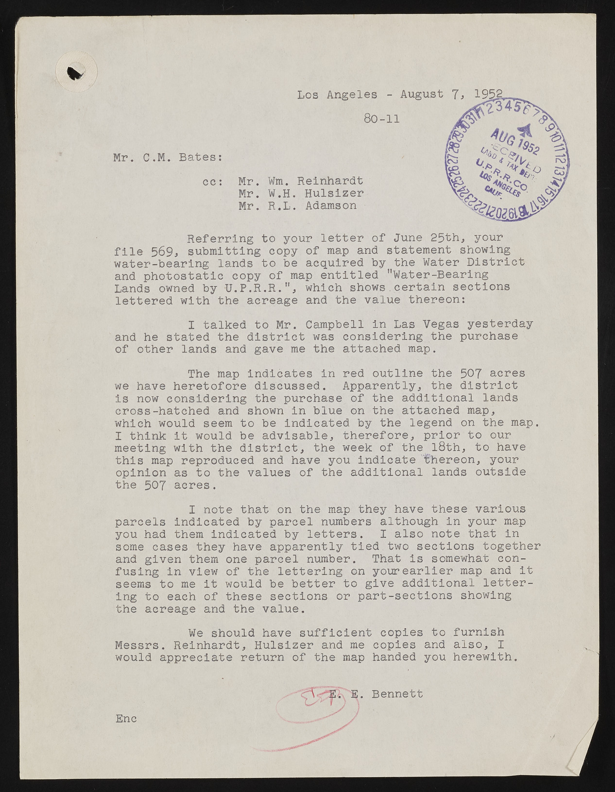
s Mr. C.M. Bates: cc: Los Angeles - August 80-11 Mr. Wm. Reinhardt Mr. W.H. Hulsizer Mr. R.L. Adamson 1, 1952, Referring to your letter of June 25th, your file 569, submitting copy of map and statement showing water-bearing lands to be acquired by the Water District and photostatic copy of map entitled "Water-Bearing Lands owned by -U.P.R.R.", which shows.certain sections lettered with the acreage and the value thereon: I talked to Mr. Campbell in Las Vegas yesterday and he stated the district was considering the purchase of other lands and gave me the attached map. The map indicates in red outline the 507 acres we have heretofore discussed. Apparently, the district is now considering the purchase of the additional lands cross-hatched and shown in blue on the attached map, which would seem to be indicated by the legend on the map. I think it would be advisable, therefore, prior to our meeting with the district, the week of thelSth, to have this map reproduced and have you indicate thereon, your opinion as to the values of the additional lands outside the 507 acres. I note that on the map they have these various parcels indicated by parcel numbers although in your map you had them indicated by letters. I also note that in some cases they have apparently tied two sections together and given them one parcel number. That is somewhat confusing in view of the lettering on your earlier map and it seems to me it would be better to give additional lettering to each of these sections or part-sections showing the acreage and the value. We should have sufficient copies to furnish Messrs. Reinhardt, Hulsizer and me copies and also, I would appreciate return of the map handed you herewith. E . Bennett x^ y Enc

