Copyright & Fair-use Agreement
UNLV Special Collections provides copies of materials to facilitate private study, scholarship, or research. Material not in the public domain may be used according to fair use of copyrighted materials as defined by copyright law. Please cite us.
Please note that UNLV may not own the copyright to these materials and cannot provide permission to publish or distribute materials when UNLV is not the copyright holder. The user is solely responsible for determining the copyright status of materials and obtaining permission to use material from the copyright holder and for determining whether any permissions relating to any other rights are necessary for the intended use, and for obtaining all required permissions beyond that allowed by fair use.
Read more about our reproduction and use policy.
I agree.Information
Digital ID
Permalink
Details
Member of
More Info
Rights
Digital Provenance
Publisher
Transcription
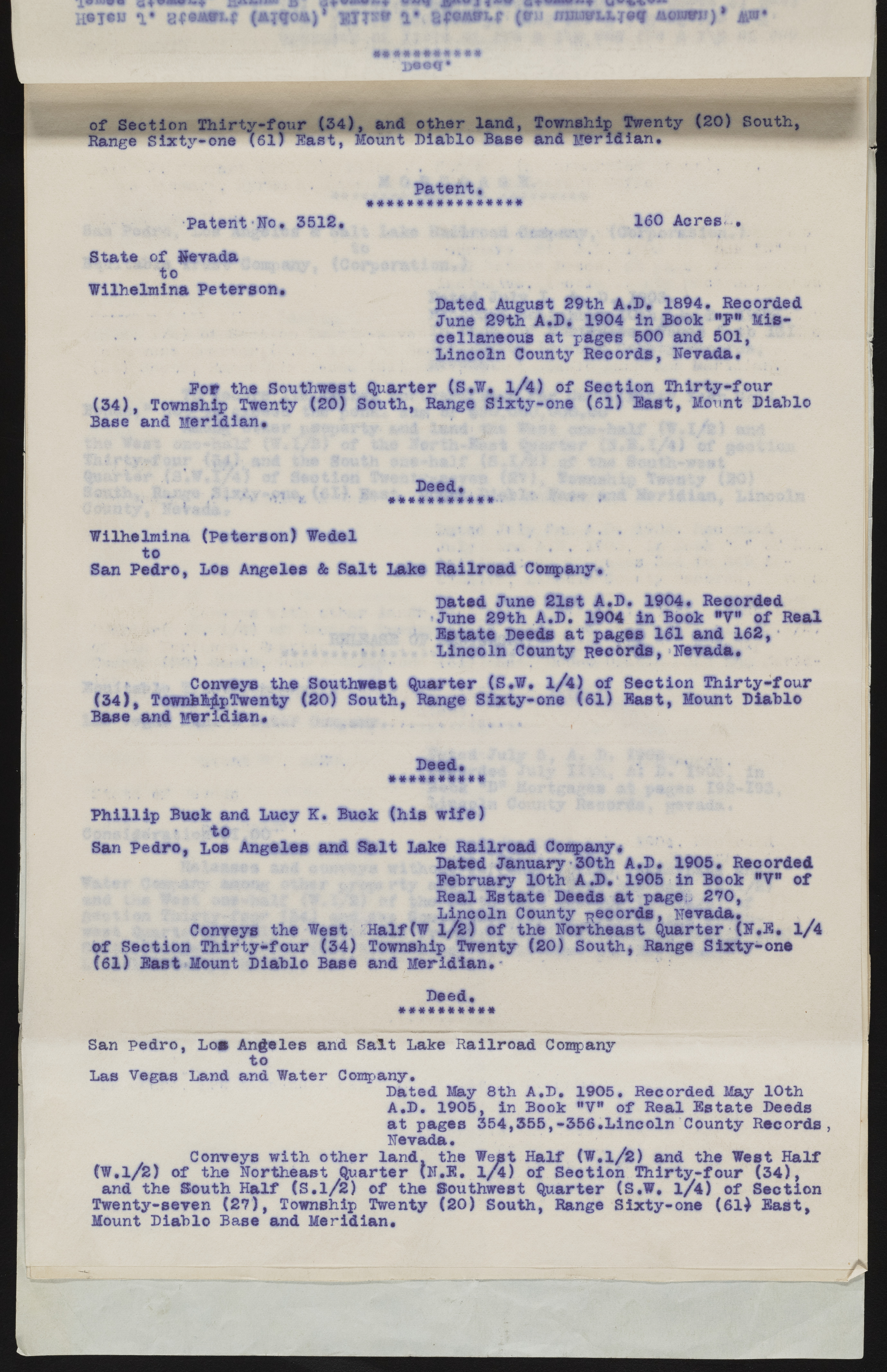
of Section Thirty-four (34), and other land, Township Twenty (20) South, Range §ixfy-one (61) Fast, fount Diablo Base and Meridian. Patent. •#***«####«###*# Patent Ho, 3512. 160 Acres, . State of Nevada to Wilhslmlna Peterson, Bated August 29th A.D. 1894. Recorded June 29th A.D. 1904 in Book "?* Miscellaneous at pages 500 and 501, Lincoln County Records, Nevada, Pot the Southwest Quarter (S.W, l/4) of Section Thirty-four (34), Township Twenty (20) South, Range Sixty-one (61) last, Mount Diablo Base and Meridian, Deed, ‘ '•* " *'* *v/ } i' #####*###?#• ? ** Wilhelmina (Peterson) Wedel ... to *.' *? • • • San Pedro, Los Angeles & Salt Lake Railroad Company. Dated June 21st A.D. 1904. Recorded June 29th A.D. 1904 in Book "V" of Real Estate Deeds at pages 161 and 162, i • Lincoln County Records, Nevada, Conveys the Southwest Quarter (S.W, l/4) of Section Thirty-four (34), TownhfcjlpTwenty (20) South, Range Sixty-one (61) East, Mount Diablo Base and Meridian* Deed, ? ' *• • “V • ###*#««##* Phillip Buek and Lucy K. Buck (his wife) to ____ ^ San Pedro, Los Angeles and Salt Lake Railroad Company* Dated January 30th A.D, 1905, Recorded February 10th A.D. 1905 in Beck "V* of Real Estate Deeds at page^ 270, Lincoln County -Records, Nevada, Conveys the West Half(W l/2) of the Northeast Quarter (N.B. 1/4 of Section Thirty-four (34) Township Twenty (20) South, Range Sixty-one (61) East Mount Diablo Base and Meridian* Deed, San Pedro, Los Angeles and Salt Lake Railroad Company to Las Vegas Land and Water Company. Dated May 8th A.D. 1905. Recorded May 10th A.D. 1905, in Book "V" of Real Estate Deeds at pages 354,355,-356,Lincoln County Records, Nevada. Conveys with other land, the West Half (W,l/2) and the West Half (W.l/2) of the Northeast Quarter (N.B. 1/4) of Section Thirty-four (34), and the South Half (S.l/2) of the Southwest Quarter (S.W. l/4) of Section Twenty-seven (27), Township Twenty (20) South, Range Sixty-one (61} East, Mount Diablo Base and Meridian.

