Copyright & Fair-use Agreement
UNLV Special Collections provides copies of materials to facilitate private study, scholarship, or research. Material not in the public domain may be used according to fair use of copyrighted materials as defined by copyright law. Please cite us.
Please note that UNLV may not own the copyright to these materials and cannot provide permission to publish or distribute materials when UNLV is not the copyright holder. The user is solely responsible for determining the copyright status of materials and obtaining permission to use material from the copyright holder and for determining whether any permissions relating to any other rights are necessary for the intended use, and for obtaining all required permissions beyond that allowed by fair use.
Read more about our reproduction and use policy.
I agree.Information
Digital ID
Permalink
Details
More Info
Rights
Digital Provenance
Publisher
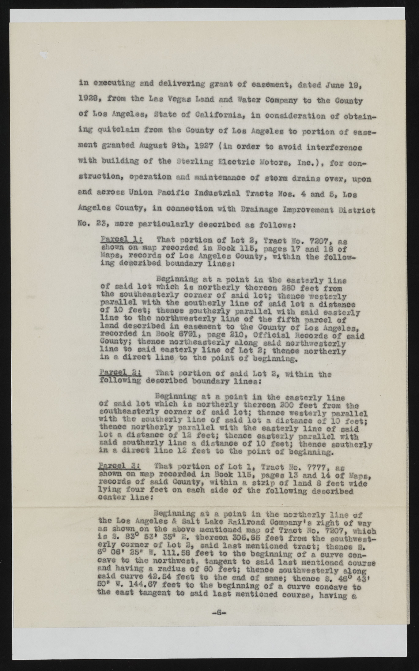
Transcription
In executing end delivering grant of easement, dated June 19, 1928, from the Las Vegas Land and Water Comma? to the County of Los Angeles, State of California, in consideration of obtain-ing quitclaim from the County of Los Angeles to portion of easement granted August 9th, 1927 {in order to avoid interference with building of the Sterling Electric Motors, Inc.), for construction, operation end maintenance of storm drains over, upon and across Union Pacific Industrial Tracts log. 4 and S, Los Angeles County, in connection with Drainage Improvement District Ho. 23, more particularly described as follows: Iagff.fi2 { that portion of Lot 2, Tract Ho. 7207, as shown on map recorded in Book 11©, pages 17 and 18 of Maps, records of Los Angeles County, ing described boundary lines: within the followBeginning at a point in the easterly line of said lot which is northerly thereon 880 feet from the southeasterly corner of said lot; thence westerly parallel with the southerly line of said lot a distance of 10 feet; thence southerly parallel with said easterly line to the northwesterly line of the fifth parcel of land described in easement to the County of Los Angeles, recorded in Book 8791, page 210, Official Records of said County; thence northeasterly along said northwesterly line to said easterly line of Lot i; then©® northerly in a direct line to the point of beginning. Parcel Sj That portion of said Lot 2, within the following described boundary lines: Beginning at a point in the easterly line of said lot which is northerly thereon 200 feet from the southeasterly corner of said lot; thence westerly parallel with the southerly line of said lot a distance of 10 feet; thence northerly parallel with the easterly line of said lot a distance of 12 feet; thence easterly parallel with said southerly line & distance of 10 feet; thence southerly in a direct lice 12 feet to the point of beginning. ill 'Sb&t portion of Lot 1, Tract Ho. 7777, as shown on map recorded in Book 115, pages 13 and 14 of Maps, records of said County, within a strip of land 8 feet wide cleynitnegr floiunre :feet on each side of the following described Beginning at a point in the northerly line ©f the Lee Angeles 4 Balt Lake Railroad Company1 $ right ©f way as shown on the above mentioned map of Tract Ho. 7207, which is S. 83 53* 35* 1* thereon 306.8© feet from the southwest— 6 06 2a rf. 1H1>1t. 582* fe®eait< i tol astth e mbeengtiinonniendg torafc ta; cutrhveen cec on3.cave to the northwest, tangent to said last mentioned course end having a radius of 80 feet; thence southwesterly along said curve 42.54 feet to the ©ad of same; thence S. 46® 43* 50 W. 144.67 feet to the beginning of a curve concave to the east tangent to said last mentioned course, having a

