Copyright & Fair-use Agreement
UNLV Special Collections provides copies of materials to facilitate private study, scholarship, or research. Material not in the public domain may be used according to fair use of copyrighted materials as defined by copyright law. Please cite us.
Please note that UNLV may not own the copyright to these materials and cannot provide permission to publish or distribute materials when UNLV is not the copyright holder. The user is solely responsible for determining the copyright status of materials and obtaining permission to use material from the copyright holder and for determining whether any permissions relating to any other rights are necessary for the intended use, and for obtaining all required permissions beyond that allowed by fair use.
Read more about our reproduction and use policy.
I agree.Information
Digital ID
Permalink
Details
Member of
More Info
Rights
Digital Provenance
Publisher
Transcription
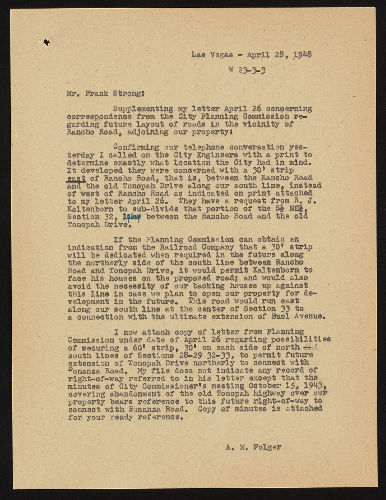
Las Vegas - April 28, 1 9 ^ W 23-3-3 Mr. Frank Strong? Supplementing my letter April 26 concerning correspondence from the City Planning Commission regarding future layout of roads in the vicinity of Bancho Road, adjoining our property? Confirming our telephone conversation yesterday X called on the City Engineers with a print to determine exactly what Xoo&tlon the City had in mind. Xt developed they were concerned with a 30* strip east of Rancho Road, that is, between the Rancho Road and the old Tonopah Drive along our south line, instead of west of Rancho Road as indicated on print attached to ay letter April 26. They have a request from R. Kaltenborn to sub-divide that portion of the S& HE Section 32, tMknf between the Rancho Road and the old Tonopah Drive. Xf the Planning Commieaion can obtain an indication from the Railroad Company that a 30* strip will be dedicated when required in the future along the northerly side of the south line between Rancho Road and Tonopah Drive, it would permit Kaltenborn to face his houses on the proposed road; and would also avoid the necessity of our backing houses up against this line in case we plan to open our property for development in the future. This road would run east along our south line at the center of Seotlon 33 to a connection with the ultimate extension of Buol Avenue. X now attach copy of letter from Planning Commission under date of April 26 regarding possibilities of wecuring a 60* strip, 30* on each side of north ted south lines of Sections 28-29 32-33# to permit future extension of Tonopah Drive northerly to connect with aonanza Road. My file does not indicate any record of right-of-way referred to in his letter except that the minutes of City Commissioner’s meeting October 15, 19^3* covering abandonment of the old Tonopah highway over our property bears reference to this future right-of-way to connect with Bonanza Road. Copy of minutes is attached for your ready reference. A. M. Folgep

