Copyright & Fair-use Agreement
UNLV Special Collections provides copies of materials to facilitate private study, scholarship, or research. Material not in the public domain may be used according to fair use of copyrighted materials as defined by copyright law. Please cite us.
Please note that UNLV may not own the copyright to these materials and cannot provide permission to publish or distribute materials when UNLV is not the copyright holder. The user is solely responsible for determining the copyright status of materials and obtaining permission to use material from the copyright holder and for determining whether any permissions relating to any other rights are necessary for the intended use, and for obtaining all required permissions beyond that allowed by fair use.
Read more about our reproduction and use policy.
I agree.Information
Digital ID
Permalink
Details
Member of
More Info
Rights
Digital Provenance
Publisher
Transcription
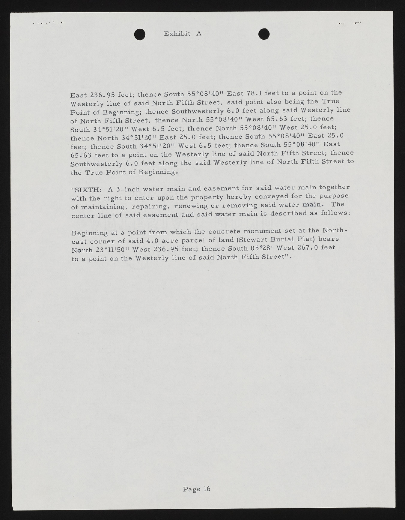
E x h ib it A E ast 236.95 feet; thence South 5 5 °0 8 '4 0 " E ast 78.1 feet to a point on the W esterly line o f said N orth F ifth S treet, said point also being the True P oin t of B eginning; thence Southw esterly 6 .0 feet along said W esterly line o f N orth Fifth S treet, thence N orth 5 5 °0 8 '4 0 " W est 65.63 feet; thence South 3 4 o51'20" W est 6 .5 feet; th en ce N orth 5 5 °0 8 '4 0 " W est 25.0 feet; thence N orth 34°51'20" E ast 25.0 feet; thence South 5 5 °0 8 '4 0 " E ast 25.0 feet; thence South 3 4 o51'20" W est 6 .5 feet; thence South 5 5 °0 8 '4 0 " E ast 6 5 .6 3 feet to a point on the W esterly line of said N orth Fifth S treet; thence Sou th w esterly 6 .0 feet along the said W esterly line o f N orth Fifth Street to the True P oin t of B eginning. "SIXTH : A 3 -in ch w ater m ain and easem ent fo r said w ater m ain together with the right to enter upon the p rop erty h ereb y con veyed fo r the purpose of m aintaining, rep a irin g , renew ing o r rem ovin g said w ater m ain . The cen ter line o f said easem en t and said w ater m ain is d e scrib e d as follo w s: Beginning at a point fr o m which the co n crete m onum ent set at the N orth east co rn e r o f said 4 .0 a cre p a r ce l o f land (Stewart B u rial Plat) b ea rs N orth 23°11,50" W est 236.95 feet; thence South 05*28' W est 267.0 feet to a point on the W esterly lin e o f said N orth Fifth S treet' . P a g e 16

