Copyright & Fair-use Agreement
UNLV Special Collections provides copies of materials to facilitate private study, scholarship, or research. Material not in the public domain may be used according to fair use of copyrighted materials as defined by copyright law. Please cite us.
Please note that UNLV may not own the copyright to these materials and cannot provide permission to publish or distribute materials when UNLV is not the copyright holder. The user is solely responsible for determining the copyright status of materials and obtaining permission to use material from the copyright holder and for determining whether any permissions relating to any other rights are necessary for the intended use, and for obtaining all required permissions beyond that allowed by fair use.
Read more about our reproduction and use policy.
I agree.Information
Digital ID
Permalink
Details
More Info
Rights
Digital Provenance
Publisher
Transcription
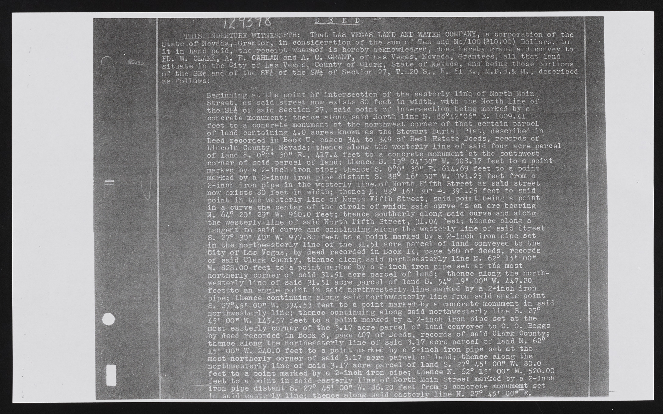
m u iim m m E D . OSiaaK | THIS INDENTURE WTTMISSETR: That LAS VEGAS LAND AND WATER COMPANY, a corporation of the State of Nevada,.sGrantor, in eonsid eration of the sum:of Ten and No/100 (SlOiOO) Dollars, to it in hand paid, the receipt v/herfebf is hereby acknowledged, does hereby grant and convey to ED. W. CLARK, A. E. CAHLAN and A. C. GRANT, of Les Vegas, Nevada, Grantees, all that land situate in the City of Las Vegas, County of Clark., State of Nevada, and being those portions of the SEi and of the SEh of the SW£ of Section 27, T. .20 S., R. 61 E., M.D.B.& M., described as follows: _ M Beginning at the ooint of intersection of the easterly line of North Main Street, as said street now exists 80 feet in width, with the North line of the SEt of said Section 27, said point of intersection being marked by a concrete monument; thence along said North line N. 88®42* 06” E. 1009.4.1 feet to a concrete monument at the northwest corner of that certain parcel of land containing 4.0 acres known as the Stewart Burial Plat, described in Deed recorded in Book U, pages 344 to 349 of Real Estate Deeds, records of Lincoln County, Nevada; thence along the westerly line of said four acre parcel of land S. 0°0* 30" E., 417.4 feet to a concrete monument at the southwest corner of said parcel of land; thence S. 13° 04*30" W. 308.17 feet to a point marked by a 2-inch iron pipe; thence S. 0°0* 30” E. 614*69 feet to a point marked by a 2-inch iron pipe distant S. 88° 16* 30” W. 391.25 feet from a 2-inch iron pipe in the westerly line- of North Fifth Street as said street now exists 80 feet in width; thenceN.: 88° 16' 30” 391.25 feet to said point in the westerly line of North Fifth Street, said point being a point in a curve the center of the circle of which said curve is an arc bearing N. 64° 20* 29” W, 960.0 feet; thence southerly along said curve and along the westerly line of said North Fifth Street, 31.04 feet; thence along a tangent to said curve and continuing, along the westerly line of said Street. S. 27° 30* 40” .W. 977.80 feet to a point marked by a 2-inch iron pipe set in the northeasterly line of the 31* 51 acre parcel of land conveyed to the Bity of Las Vegas, by deed recorded in Book 14, page 560 of deeds, records of said Clark County, thence along said northeasterly line N. 62° 15* 00” W. 828.00 feet to a point marked by a 2-inch iron pipe set at the most northerly corner of said 31*51 acre parcel of land; thence along the northwesterly line of said 31.51 acre parcel of land S. 54° 19* 00" W. 447.20 feettt.o an angle point in said northwesterly line marked by a 2-inch iron pipe; thence continuing along said northwesterly line from said angle point S. 27q45* 00” W,. 334.53 feet to a point marked -by a concrete monument in s a id .. northwesterly line; thence continuing along s a id northwesterly line S. 27° 45* .00” W* 145.57.feet to a point marked by a 2-inch iron pipe set at the most easterly corner of the 3*17 acre parcel of land conveyed to C. 0. Boggs by deed recorded in Book 8, page 407 of Deeds, records of said Clark County; thence along the northeasterly line of said 3»i7 acre parcel of land N ^ 6 2 _ 15* 00” W. 240.0 feet to a point marked by a 2-inch iron pipe set at the most northerly corner of said 3*17 acre parcel of land; thence along the northwesterly line.of said 3*17 acre parcel of land S. 27 45* 00” W*. 80.0 feet to a point marked by a 2-inch -iron pipe; thence N. 62 15* 00” W. 520.00 feet to a point in said easterly line of North Main Street marked by, a 2—inch Tron nine distant S. 27° 45* 00” W. 86.20 feet from a concrete monument set* in said easterly line; thence along said easterly line N. 27 45* .£0 A

