Copyright & Fair-use Agreement
UNLV Special Collections provides copies of materials to facilitate private study, scholarship, or research. Material not in the public domain may be used according to fair use of copyrighted materials as defined by copyright law. Please cite us.
Please note that UNLV may not own the copyright to these materials and cannot provide permission to publish or distribute materials when UNLV is not the copyright holder. The user is solely responsible for determining the copyright status of materials and obtaining permission to use material from the copyright holder and for determining whether any permissions relating to any other rights are necessary for the intended use, and for obtaining all required permissions beyond that allowed by fair use.
Read more about our reproduction and use policy.
I agree.Information
Digital ID
Permalink
Details
More Info
Rights
Digital Provenance
Publisher
Transcription
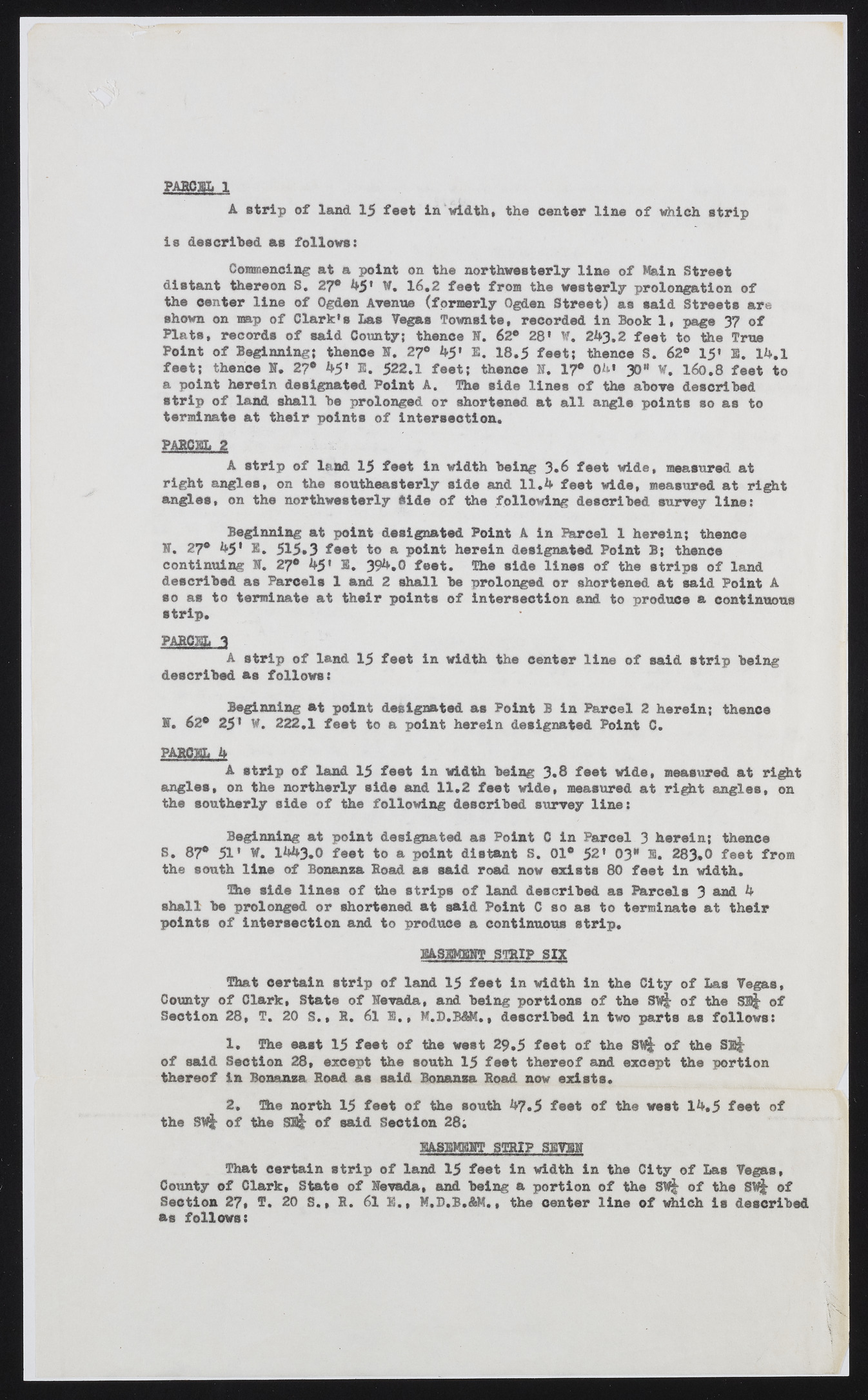
PAROEL 1 A strip of land 15 feet In width, the center line of which strip is described as follows: Commencing at a point on the northwesterly line of Main Street distant thereon S. 27® h5* W. 16.2 feet from the westerly prolongation of the center line of Ogden Avenue (formerly Ogden Street) as said Streets are shown on map of Clarkes Las Vegas Towns!te, recorded in Book 1, page 37 of Plats, records of said County; thence N. 62* 28' ¥. 2A3.2 feet to the True Point of Beginning; thence N. 27® h5» 1. 18,5 feet; thence S. 62® 15* E. lh.l feet; thence N. 2?® h5» E. 522.1 feet; thence B. 17® 0h» 30“ ¥. 160.8 feet to a point herein designated Point A. The side lines of the above described strip of land shall be prolonged or shortened at all angle points so as to terminate at their points of intersection. P ABC EL 2 A strip of land 15 feet in width being 3*6 feet wide, measured at right angles, on the southeasterly side and 1 1 .h feet wide, measured at right angles, on the northwesterly Side of the following described survey line: Beginning at point designated Point A in Parcel 1 herein; thence B. 27® h5' E. 515*3 feet to a point herein designated Point B; thence continuing B. 27® h5* E. 39^*0 feet. The side lines of the strips of land described as Parcels 1 and 2 shall be prolonged or shortened at said Point A so as to terminate at their points of intersection and to produce a continuous strip. p a r c e l 3 A strip of land 15 feet in width the center line of said strip being described as follows: Beginning at point designated as Point B in Parcel 2 herein; thence B. 62® 251 W. 222.1 feet to a point herein designated Point C. PARCEL k A strip of land 15 feet in width being 3,8 feet wide, measured at right angles, on the northerly side and 11.2 feet wide, measured at right angles, on the southerly side of the following described survey line: Beginning at point designated as Point C in Parcel 3 herein; thence S. 87® 51* V. Ihh3.0 feet to a point distant S. 01° 52* 03“ S. 283.0 feet from the south line of Bonanza Road as said road now exists 80 feet in width. The side lines of the strips of land described as Parcels 3 h shall be prolonged or shortened at said Point C so as to terminate at their points of intersection and to produce a continuous strip, BASEMENT STRIP SIX That certain strip of land 15 feet in width in the City of Las Vegas, County of Clark, State of Nevada, and being portions of the SW& of the SB^ of Section 28, T. 20 S., R. 61 E. , M.D.BAK., described in two parts as follows: 1. The east 15 feet of the west 29.5 feet of the S ^ of the S!$- of said Section 28, except the south 15 feet thereof and except the portion thereof in Bonanza Road as said Bonanza Road now exists. 2. The north 15 feet of the south A7.5 feet of the west lh.5 feet of the SBjj^ of the SB^ of said Section 28; EASEMENT STRIP SEVEN That certain strip of land 15 feet in width in the City of Las Vegas, County of Clark, State of Nevada, and being a portion of the 8N| of the of Section 27, f . 20 S., R. 61 E., M.D.B.&M., the center line of which is described as follows: t§j a

