Copyright & Fair-use Agreement
UNLV Special Collections provides copies of materials to facilitate private study, scholarship, or research. Material not in the public domain may be used according to fair use of copyrighted materials as defined by copyright law. Please cite us.
Please note that UNLV may not own the copyright to these materials and cannot provide permission to publish or distribute materials when UNLV is not the copyright holder. The user is solely responsible for determining the copyright status of materials and obtaining permission to use material from the copyright holder and for determining whether any permissions relating to any other rights are necessary for the intended use, and for obtaining all required permissions beyond that allowed by fair use.
Read more about our reproduction and use policy.
I agree.Information
Digital ID
Permalink
More Info
Rights
Digital Provenance
Publisher
Transcription
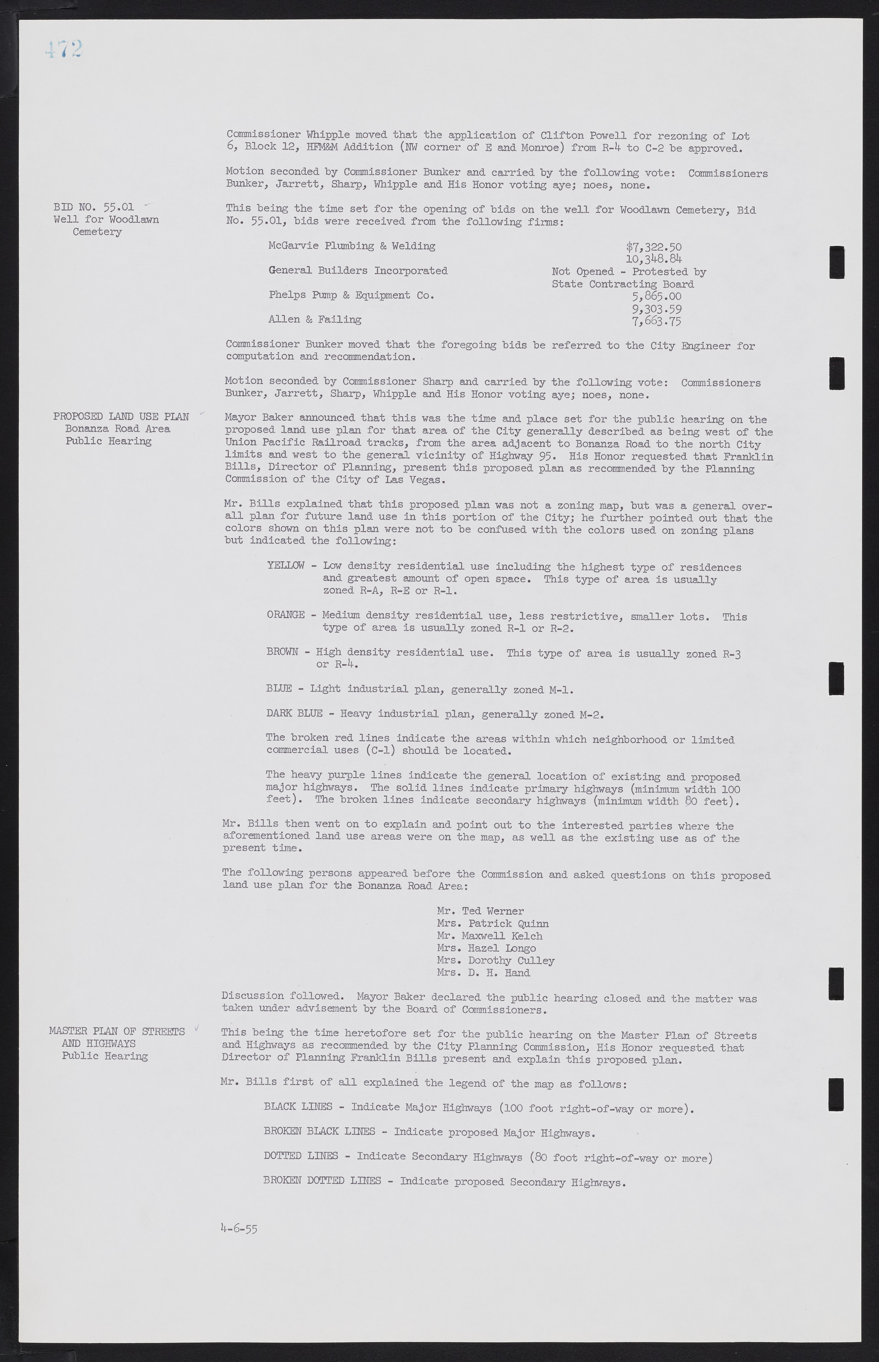
BID NO. 55.01 Well for Woodlawn Cemetery PROPOSED LAND USE PLAN Bonanza Road. Area Public Hearing MASTER PLAN OF STREETS AND HIGHWAYS Public Hearing Commissioner Whipple moved that the application of Clifton Powell for rezoning of Lot 6, Block 12, HFM&M Addition (NW comer of E and Monroe) from R-4 to C-2 be approved. Motion seconded by Commissioner Bunker and carried by the following vote: Commissioners Bunker, Jarrett, Sharp, Whipple and His Honor voting aye; noes, none. This being the time set for the opening of bids on the well for Woodlawn Cemetery; Bid No. 55.01, bids were received from the following firms: McGarvie Plumbing & Welding $7,322.50 10,348.84 General Builders Incorporated Not Opened - Protested by State Contracting Board Phelps Pump & Equipment Co. 5,865.00 9,303.59 Allen & Failing 7,663.75 Commissioner Bunker moved that the foregoing bids be referred to the City Engineer for computation and recommendation. Motion seconded by Commissioner Sharp and carried by the following vote: Commissioners Bunker; Jarrett; Sharp; Whipple and His Honor voting aye; noes, none. Mayor Baker announced that this was the time and place set for the public hearing on the proposed land use plan for that area of the City generally described as being west of the Union Pacific Railroad tracks; from the area adjacent to Bonanza Road to the north City limits and west to the general vicinity of Highway 95. His Honor requested that Franklin Bills; Director of Planning; present this proposed plan as recommended by the Planning Commission of the City of Las Vegas. Mr. Bills explained that this proposed plan was not a zoning map, but was a general overall plan for future land use in this portion of the City; he further pointed out that the colors shown on this plan were not to be confused with the colors used on zoning plans but indicated the following: YELLOW - Low density residential use including the highest type of residences and greatest amount of open space. This type of area is usually zoned R-A; R-E or R-1. ORANGE - Medium density residential use, less restrictive; smaller lots. This type of area is usually zoned R-1 or R-2. BROWN - High density residential use. This type of area is usually zoned R-3 or R-4. BLUE - Light industrial plan; generally zoned M-1. DARK BLUE - Heavy industrial plan; generally zoned M-2. The broken red lines indicate the areas within which neighborhood or limited commercial uses (C-1) should be located. The heavy purple lines indicate the general location of existing and proposed major highways. The solid lines indicate primary highways (minimum width 100 feet). The broken lines indicate secondary highways (minimum width 80 feet). Mr. Bills then went on to explain and point out to the interested parties where the aforementioned land use areas were on the map, as well as the existing use as of the present time. The following persons appeared before the Commission and asked questions on this proposed land use plan for the Bonanza Road Area: Mr. Ted Werner Mrs. Patrick Quinn Mr. Maxwell Kelch Mrs. Hazel Longo Mrs. Dorothy Culley Mrs. D. H. Hand Discussion followed. Mayor Baker declared the public hearing closed and the matter was taken under advisement by the Board of Commissioners. This being the time heretofore set for the public hearing on the Master Plan of Streets and Highways as recommended by the City Planning Commission; His Honor requested that Director of Planning Franklin Bills present and explain this proposed plan. Mr. Bills first of all explained the legend of the map as follows: BLACK LINES - Indicate Major Highways (100 foot right-of-way or more). BROKEN BLACK LINES - Indicate proposed Major Highways. DOTTED LINES - Indicate Secondary Highways (80 foot right-of-way or more) BROKEN DOTTED LINES - Indicate proposed Secondary Highways. 4-6-55

