Copyright & Fair-use Agreement
UNLV Special Collections provides copies of materials to facilitate private study, scholarship, or research. Material not in the public domain may be used according to fair use of copyrighted materials as defined by copyright law. Please cite us.
Please note that UNLV may not own the copyright to these materials and cannot provide permission to publish or distribute materials when UNLV is not the copyright holder. The user is solely responsible for determining the copyright status of materials and obtaining permission to use material from the copyright holder and for determining whether any permissions relating to any other rights are necessary for the intended use, and for obtaining all required permissions beyond that allowed by fair use.
Read more about our reproduction and use policy.
I agree.Information
Digital ID
Permalink
Details
Member of
More Info
Rights
Digital Provenance
Publisher
Transcription
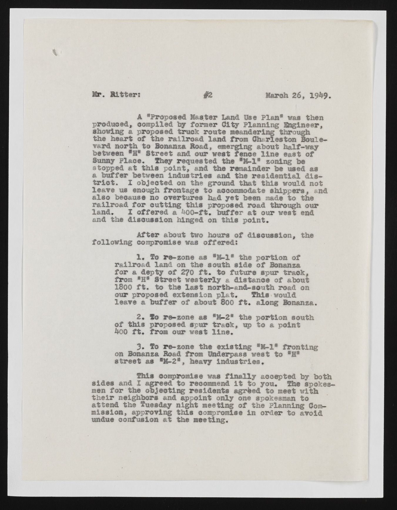
Mr. B itter? #2 March 26, 19&9. A "Proposed Master Land Use Plan* was then produced, compiled by former City planning Engineer, showing a proposed truck route meandering through the heart of the railroad land from Charleston Boulevard north to Bonanza Bond, emerging about half-way between *S* Street and our west fence line east of Sunny Place. They requested the *M-1* zoning be stopped at this point, and the remainder be used as a buffer between Industrie# and the residential district. I objected on the ground that this would not leave us enough frontage to accommodate shippers, and also because no overtures had yet been made to the railroad for cutting this proposed road through our land. X offered a *H}G-ft. buffer at our west end and the discussion hinged on this point. After about two hours of discussion, the following compromise was offered? 1. To re-zone as "M-l* the portion of railroad land on the south side of Bonanza for a depty of 2?0 ft. to future spur track, from *H* Street westerly & distance of about 1800 ft. to the last north-and-south road on our proposed extension plat. This would leave a buffer of about 800 ft. along Bonanza. 2. To re-zone as *K~2* the portion south of this proposed spur track, up to a point 400 ft. from our west line. 3* To re-zone the existing •M-l* fronting on Bonanza Hoad from Underpass west to *H* street as *11-2*, heavy industries. This compromise was finally accepted by both sides and I agreed to recommend it to you. The spokesmen for the objecting residents agrfeed to meet with their neighbors and appoint only one spokesman to attend the Tuesday night meeting of the Planning Commission, approving this compromise in order to avoid undue confusion at the meeting.

