Copyright & Fair-use Agreement
UNLV Special Collections provides copies of materials to facilitate private study, scholarship, or research. Material not in the public domain may be used according to fair use of copyrighted materials as defined by copyright law. Please cite us.
Please note that UNLV may not own the copyright to these materials and cannot provide permission to publish or distribute materials when UNLV is not the copyright holder. The user is solely responsible for determining the copyright status of materials and obtaining permission to use material from the copyright holder and for determining whether any permissions relating to any other rights are necessary for the intended use, and for obtaining all required permissions beyond that allowed by fair use.
Read more about our reproduction and use policy.
I agree.Information
Digital ID
Permalink
More Info
Rights
Digital Provenance
Publisher
Transcription
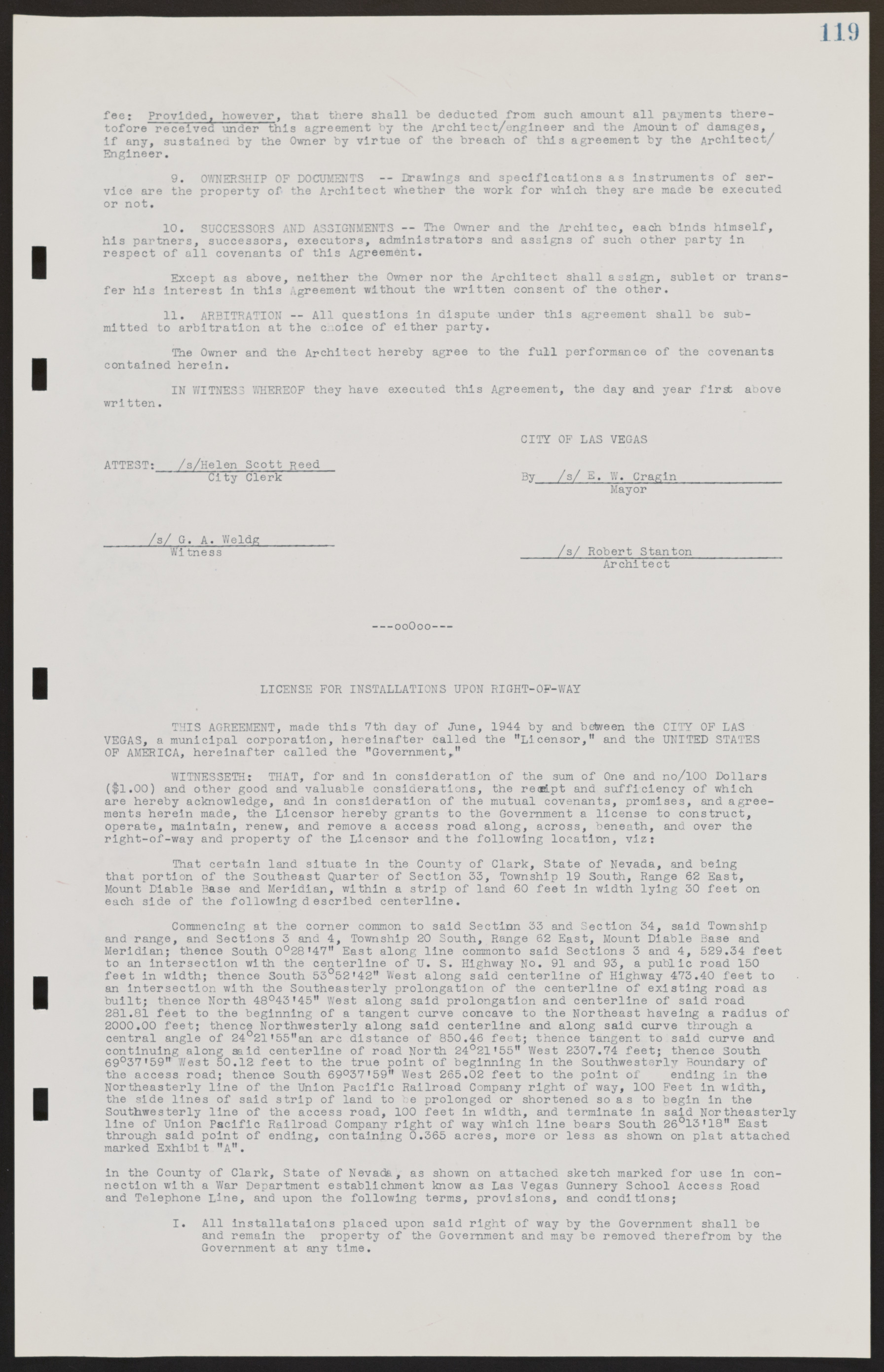
119 fee: Provided, however, that there shall be deducted from such amount all payments theretofore received under this agreement by the Architect/engineer and the Amount of damages, if any, sustained by the Owner by virtue of the breach of this agreement by the Architect/ Engineer. 9. OWNERSHIP OF DOCUMENTS -- Drawings and specifications as instruments of service are the property of the Architect whether the work for which they are made be executed or not. 10. SUCCESSORS AND ASSIGNMENTS -- The Owner and the Architect, each binds himself, his partners, successors, executors, administrators and assigns of such other party in respect of all covenants of this Agreement. Except as above, neither the Owner nor the Architect shall assign, sublet or transfer his interest in this Agreement without the written consent of the other. 11. ARBITRATION — All questions in dispute under this agreement shall be submitted to arbitration at the choice of either party. The Owner and the Architect hereby agree to the full performance of the covenants contained herein. IN WITNESS WHEREOF they have executed this Agreement, the day and year first above written. CITY OF LAS VEGAS ATTEST: /s/ Helen Scott Reed City Clerk By /s/ E. w. Cragin Mayor /s/G. A. Weldg__________ Witness _____/s/ Robert Stanton____________ Architect --ooOoo--- LICENSE FOR INSTALLATIONS UPON RIGHT-OF-WAY THIS AGREEMENT, made this 7th day of June, 1944 by and between the CITY OF LAS VEGAS, a municipal corporation, hereinafter called the "Licensor," and the UNITED STATES OF AMERICA, hereinafter called the "Government," WITNESSETH: THAT, for and in consideration of the sum of One and no/100 Dollars ($1.00) and other good and valuable considerations, the receipt and sufficiency of which are hereby acknowledge, and in consideration of the mutual covenants, promises, and agreements herein made, the Licensor hereby grants to the Government a license to construct, operate, maintain, renew, and remove a access road along, across, beneath, and over the right-of-way and property of the Licensor and the following location, viz: That certain land situate in the County of Clark, State of Nevada, and being that portion of the Southeast Quarter of Section 33, Township 19 South, Range 62 East, Mount Diable Base and Meridian, within a strip of land 60 feet in width lying 30 feet on each side of the following described centerline. Commencing at the corner common to said Section 33 and Section 34, said Township and range, and Sections 3 and 4, Township 20 South, Range 62 East, Mount Diable Base and Meridian; thence South 0°28'47" East along line common to said Sections 3 and 4, 529.34 feet to an intersection with the centerline of U. S. Highway No. 91 and 93, a public road 150 feet in width; thence South 53°52'42" West along said centerline of Highway 473.40 feet to an intersection with the Southeasterly prolongation of the centerline of existing road as built; thence North 48°43'45" West along said prolongation and centerline of said road 281.81 feet to the beginning of a tangent curve concave to the Northeast having a radius of 2000.00 feet; thence Northwesterly along said centerline and along said curve through a central angle of 24°21'55" an arc distance of 850.46 feet; thence tangent to said curve and continuing along said centerline of road North 24°21'55" West 2307.74 feet; thence South 69°37'59" West 50.12 feet to the true point of beginning in the Southwesterly Boundary of the access road; thence South 69°37'59" West 265.02 feet to the point of ending in the Northeasterly line of the Union Pacific Railroad Company right of way, 100 Feet in width, the side lines of said strip of land to be prolonged or shortened so as to begin in the Southwesterly line of the access road, 100 feet in width, and terminate in said Northeasterly line of Union Pacific Railroad Company right of way which line bears South 26°13'18" East through said point of ending, containing 0.365 acres, more or less as shown on plat attached marked Exhibit "A". in the County of Clark, State of Nevada, as shown on attached sketch marked for use in connection with a War Department establishment know as Las Vegas Gunnery School Access Road and Telephone Line, and upon the following terms, provisions, and conditions; I. All installations placed upon said right of way by the Government shall be and remain the property of the Government and may be removed therefrom by the Government at any time.

