Copyright & Fair-use Agreement
UNLV Special Collections provides copies of materials to facilitate private study, scholarship, or research. Material not in the public domain may be used according to fair use of copyrighted materials as defined by copyright law. Please cite us.
Please note that UNLV may not own the copyright to these materials and cannot provide permission to publish or distribute materials when UNLV is not the copyright holder. The user is solely responsible for determining the copyright status of materials and obtaining permission to use material from the copyright holder and for determining whether any permissions relating to any other rights are necessary for the intended use, and for obtaining all required permissions beyond that allowed by fair use.
Read more about our reproduction and use policy.
I agree.Information
Digital ID
Permalink
Details
More Info
Rights
Digital Provenance
Publisher
Transcription
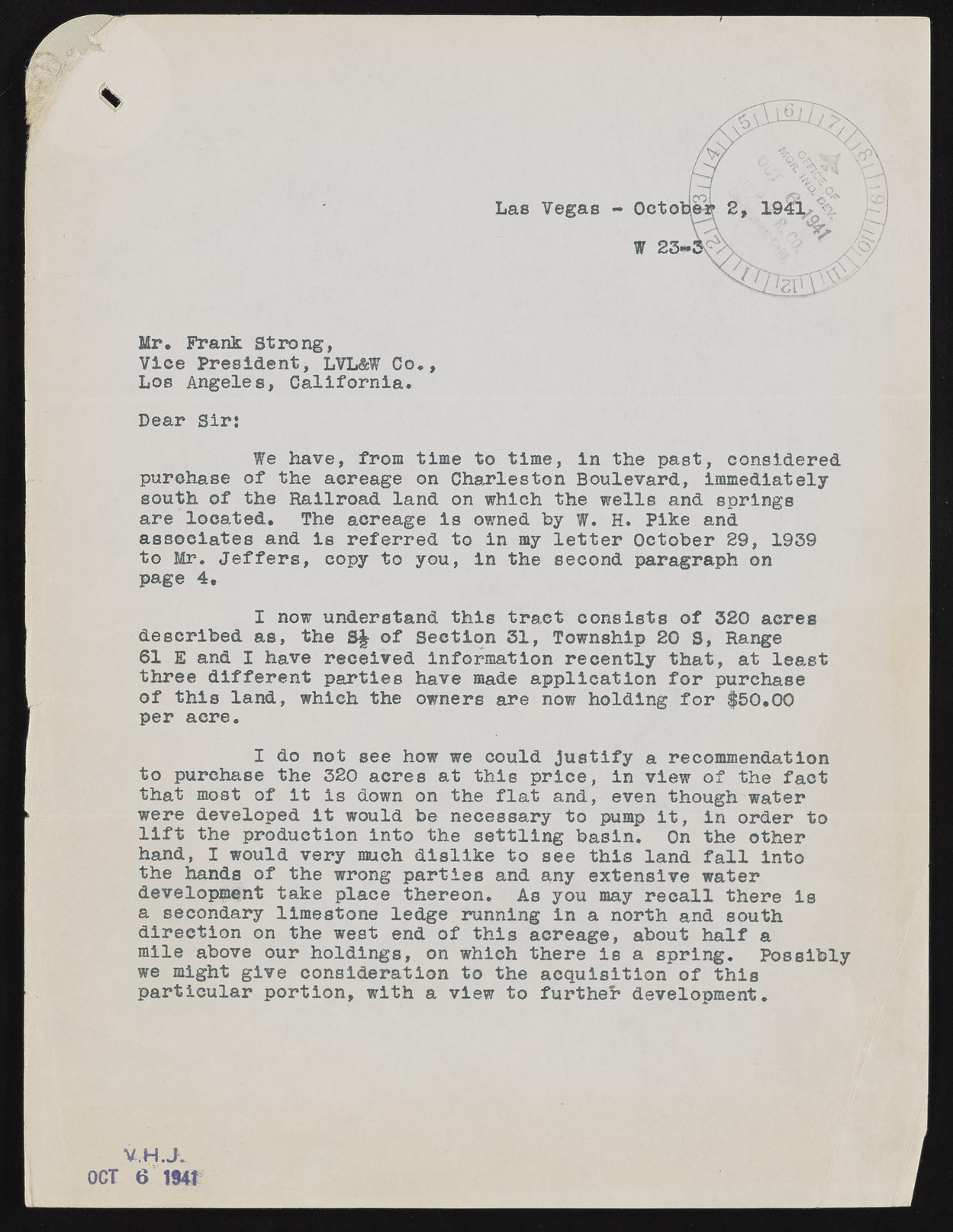
ipp* w Mr, Prank Strong, Vice President, LVL&W Co., Los Angeles, California. Dear Sir; We have, from time to time, in the past, considered purchase of the aereage on Charleston Boulevard, Immediately south of the Railroad land on which the wells and springs are located. The acreage is owned by W. H. Pike and associates and is referred to in my letter October 29, 1939 to Mr. Jeffers, copy to you, in the second paragraph on page 4. I now understand this tract consists of 320 acres described as, the S£ of Section 31, Township 20 S, Range 61 E and I have received information recently that, at least three different parties have made application for purchase of this land, which the owners are now holding for $50.00 per aere. I do not see how we could justify a recommendation to purchase the 320 acres at this price, in view of the fact that most of it is down on the flat and, even though water were developed it would be necessary to pump it, in order to lift the production into the settling basin. On the other hand, I would very much dislike to see this land fall into the hands of the wrong parties and any extensive water development take place thereon. As you may recall there is a secondary limestone ledge running in a north and south direction on the west end of this acreage, about half a mile above our holdings, on whieh there is a spring. Possibly we might give consideration to the acquisition of this particular portion, with a view to further development. V.H.JK OCT 6 1941

