Copyright & Fair-use Agreement
UNLV Special Collections provides copies of materials to facilitate private study, scholarship, or research. Material not in the public domain may be used according to fair use of copyrighted materials as defined by copyright law. Please cite us.
Please note that UNLV may not own the copyright to these materials and cannot provide permission to publish or distribute materials when UNLV is not the copyright holder. The user is solely responsible for determining the copyright status of materials and obtaining permission to use material from the copyright holder and for determining whether any permissions relating to any other rights are necessary for the intended use, and for obtaining all required permissions beyond that allowed by fair use.
Read more about our reproduction and use policy.
I agree.Information
Digital ID
Permalink
Details
Member of
More Info
Rights
Digital Provenance
Publisher
Transcription
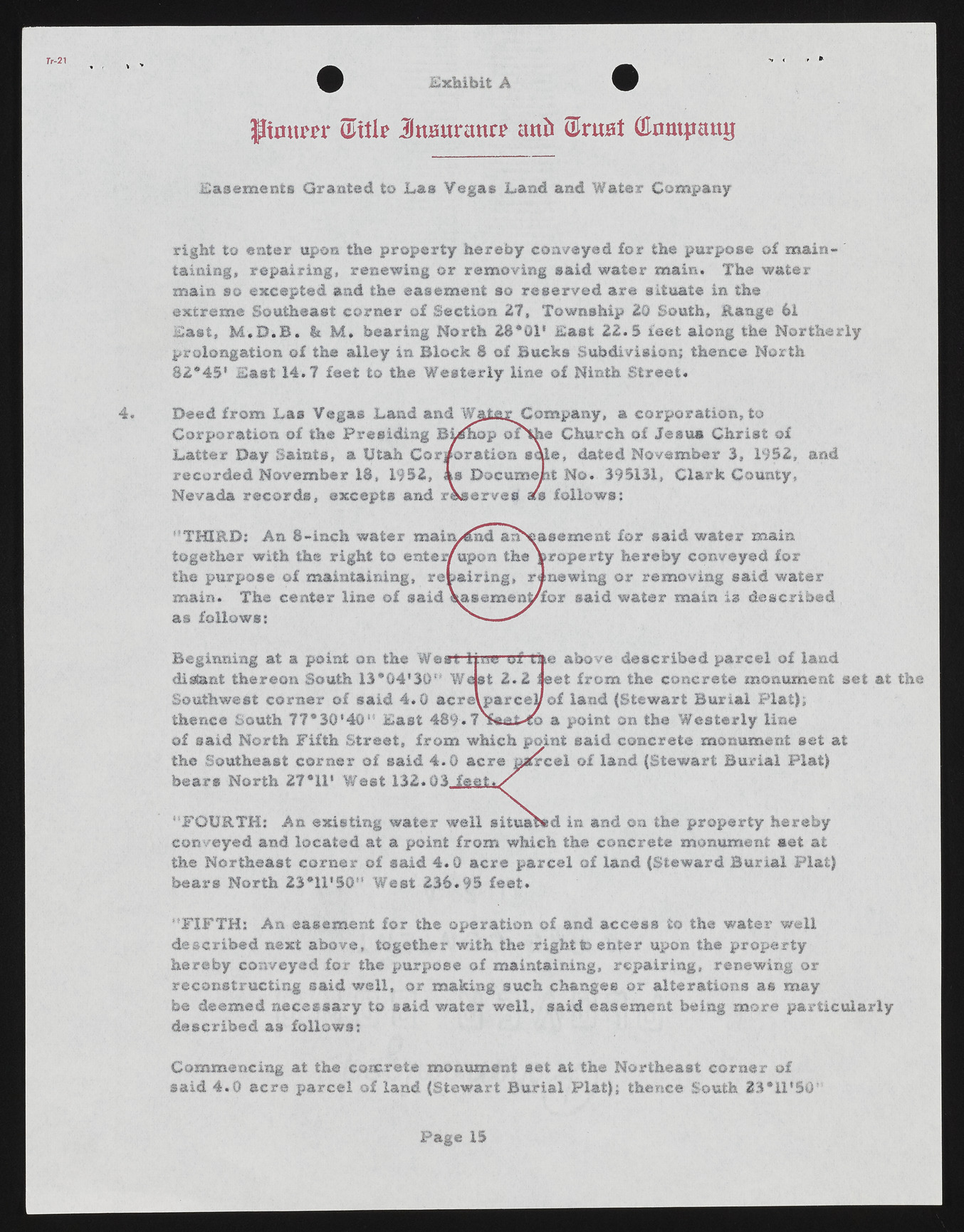
Tr-21 Exhibit A JItmtm* (i/ttb Jmutraun* anil &vwt (Himtpattg Easements Granted to Las Vegas Land and Water Company right to enter upon the property hereby conveyed for the purpose of maintaining, repairing, renewing or removing said water main. The water main so excepted and the easement so reserved are situate in the extreme Southeast corner of Section 27, Township 20 South, Range 61 East, M .D .B . & M . hearing North 28*01' East 2 2 .S feet along the Northerly prolongation of the alley in Block 8 of Bucks Subdivision; thence North 82*45' East 14.7 feet to the Westerly line of Ninth Street. 4. Deed from Las Vegas Land and WjJ&r Company, a corporation, to Corporation of the Presiding Bidnop oP%h© Church of Jesus Christ of Latter Day Saints, a Utah Corporation sale, dated November 3, 1952, and recorded November 18, 1952, as Document No. 395131, Clark County, Nevada records, excepts and reserves afs follows: '’THIRD; An 8-inch water maiiydnd anN^a a e me at for said water main together with the right to enter/upon the jeroperty hereby conveyed for the purpose of maintaining, repairing, renewing or removing said water main. The center line of said Vasement/for said water main is described as follows: ^ ------ ^ Beginning at a point on the West line of'the above described parcel of land distant thereon South 13*G4'30" Waist 2 .2 fleet from the concrete monument set at the Southwest corner of said 4 .0 acrelparcey of land (Stewart Burial Plat); thence South 77*30*40" East 489.7 a point on the Westerly line of said North Fifth Street, from which point said concrete monument set at the Southeast corner of said 4.G acre okrcel of land (Stewart Burial Plat) bears North 27*11' West 132.03 f e e t . / "FOURTH: An existing water well situated in and on the property hereby conveyed and located at a point from which the concrete monument set at the Northeast corner of said. 4 .0 acre parcel of land (Steward Burial Plat) bears North 23*U'§0H West 236.95 feet. "FIFTH: An easement for the operation of and access to the water well described next above, together with the right to enter upon the property hereby conveyed for the purpose of maintaining, repairing, renewing or reconstructing said well, or making such changes or alterations as may be deemed necessary to said water well, said easement being more particularly described as follows: Commencing at the concrete monument set at the Northeast corner of said 4 .0 acre parcel of land (Stewart Burial Flat); thence South 23*11*50 Page 15

