Copyright & Fair-use Agreement
UNLV Special Collections provides copies of materials to facilitate private study, scholarship, or research. Material not in the public domain may be used according to fair use of copyrighted materials as defined by copyright law. Please cite us.
Please note that UNLV may not own the copyright to these materials and cannot provide permission to publish or distribute materials when UNLV is not the copyright holder. The user is solely responsible for determining the copyright status of materials and obtaining permission to use material from the copyright holder and for determining whether any permissions relating to any other rights are necessary for the intended use, and for obtaining all required permissions beyond that allowed by fair use.
Read more about our reproduction and use policy.
I agree.Information
Digital ID
Permalink
Details
More Info
Rights
Digital Provenance
Publisher
Transcription
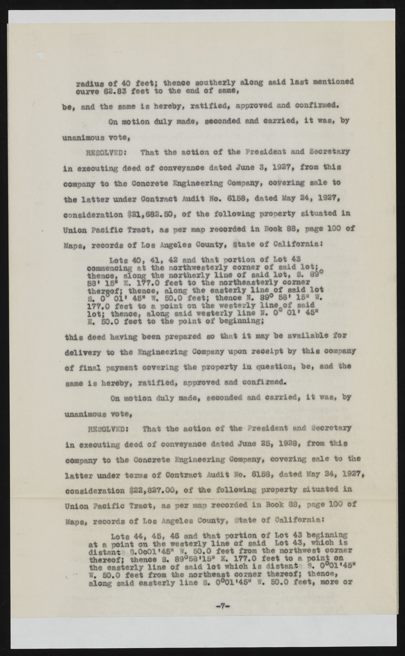
radius of 40 feet; thenoe southerly along said last Mentioned curve 62.83 feet to the end of same, he, and the same is hereby, ratified, approved and confirmed* On motion duly made, seconded and carried, it was, by unanimous vote, RESOLVED: That the action of the President and Secretary in executing deed of conveyance dated June 3, 1927, from this company to the Concrete Engineering Company, covering sale to the latter under Contract Audit So. 6158, dated May 24, 1927, consideration $31,682.30, of the following property situated in Union Pacific Tract, as per map recorded in Book 88, page 100 of Maps, records of Los Angeles County, State of California: Lots 40, 41, 42 and that portion of Lot 43 commencing at the northwesterly corner of said lot: thence, along the northerly line of said lot, 8. 89° 58* 15* E. 177.0 feet to the northeasterly comer thereof? thence, along the easterly line of said lot 8. 0° 01* 46* W. 50.0 feet; thence 1. 89° 68* 15H W. 177,0 feet to a point on the westerly line of said lot; thence, along said westerly line S. 0 01* 46* E, 50.0 feet to the point of beginning; this deed having been prepared so that it may be available for delivery to the Engineering Company upon receipt by this company of final payment covering the property in question, fee, and the same is hereby, ratified, approved end confirmed. On motion duly made, seconded and carried, it waa, fey unanimous vote, RESOLVEDl That the action of the President and Secretary in executing deed of conveyance dated June 25, 1928, from this company to the Concrete Engineering Company, covering sale to the latter under terns of Contract Audit Ko. 6168, dated May 34, 1927 consideration $22,327.00, of the following property situated in Union Pacific Tract, as per map recorded in Book 88, page 100 of Maps, records of Los Angeles County, State of California: Lots 44, 45, 46 and that portion of Lot 43 beginning at a point on the westerly line of said Lot 43, which la distant 1 .0 0 0 1 *4 5 “ ft. 50.0 feet fro® the northwest corner thereof; thenoe 3. 89°58«15* X. 177.0 feet to a point on the easterly line of said lot which is distant S, 0°01*45* , • w. 50.0 feet from the northeast corner thereof; thenoe, along as,id easterly line S. 0°01'45* W. 50.0 feet, more or

