Copyright & Fair-use Agreement
UNLV Special Collections provides copies of materials to facilitate private study, scholarship, or research. Material not in the public domain may be used according to fair use of copyrighted materials as defined by copyright law. Please cite us.
Please note that UNLV may not own the copyright to these materials and cannot provide permission to publish or distribute materials when UNLV is not the copyright holder. The user is solely responsible for determining the copyright status of materials and obtaining permission to use material from the copyright holder and for determining whether any permissions relating to any other rights are necessary for the intended use, and for obtaining all required permissions beyond that allowed by fair use.
Read more about our reproduction and use policy.
I agree.Information
Digital ID
Permalink
Details
More Info
Rights
Digital Provenance
Publisher
Transcription
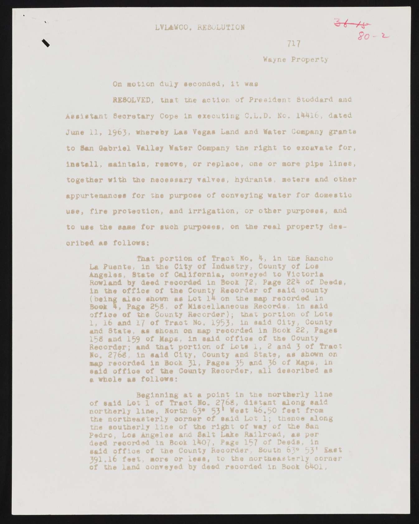
LVL&WCO* RESOLUTION 717 Wayne Property v \ 2 o - On notion duly seconded, it was RESOLVED, tnat the action of President Stoddard and Assistant Secretary Cope in executing C.L.D. No. 14-4l6, dated June 11, 1 9 6 3 , whereby Las Vegas Land and Water Company grants to San Gabriel Valley Water Company the right to exoavate for, install, maintain, remove, or replaoe, one or more pipe lines, together with the neoessary valves, hydrants, meters and other appurtenances for the purpose of conveying water for domestic use, fire protection, and irrigation, or other purposes, and to use the same for such purposes, on the real property described as follows: That portion of Tract No. 4, in the Rancho La Puente, in the City of Industry, County of Los A n g e l e s , State of California, oonveyed to Victoria Rowland by deed recorded in Booh 72, Page 224 of Deeds, in the office of the County Reoorder of said county (being aleo shown as Lot 14 on the map recorded in Booh 4, Page 2 5 8 , of Miscellaneous Records, in said office of the County Recorder); that portion of Lots 1, 1 6 and 1 7 of Tract No. 1953» *-n »nld City, County and State, as shean on map recorded in Book 22, Pages 15S and 159 of Maps, in said office of the County Reoorder; and that portion of Lots 1, 2 and 3 Tract No, 2 7 6 8 , in said City, County and State, as shown on aap rscorded in Bock 3 1 , Pages 35 and 36 of Maps, in said office of the County Reoorder, all described as a whole as follows: Beginning at a point in the northerly line of eald Lot 1 of Tract So. 2768, distant along said northerly line, North 63® 53* West 46.50 feet from the northeasterly corner of said Lot 1; thence along the southerly line of the right of way of the Saa Pedro, Los Angeles and Salt Lake Railroad, as per deed recorded in Book 1407, Page 157 of Deeds, in said offloe of the County Recorder, Soutn 63® 5 3 1 East 3 9 1 * 1 6 feet, more or less, to the northeasterly corner of the land oonveyed by deed recorded in Book 6401,

