Copyright & Fair-use Agreement
UNLV Special Collections provides copies of materials to facilitate private study, scholarship, or research. Material not in the public domain may be used according to fair use of copyrighted materials as defined by copyright law. Please cite us.
Please note that UNLV may not own the copyright to these materials and cannot provide permission to publish or distribute materials when UNLV is not the copyright holder. The user is solely responsible for determining the copyright status of materials and obtaining permission to use material from the copyright holder and for determining whether any permissions relating to any other rights are necessary for the intended use, and for obtaining all required permissions beyond that allowed by fair use.
Read more about our reproduction and use policy.
I agree.Information
Digital ID
Permalink
Details
Member of
More Info
Rights
Digital Provenance
Publisher
Transcription
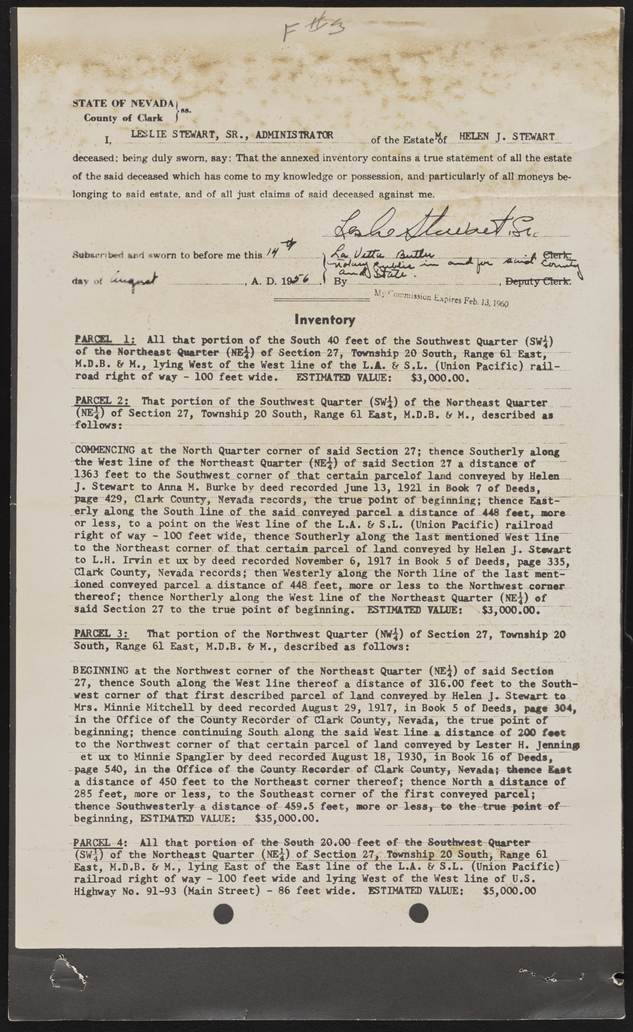
STATE OF NEVADA)Vm . County of Clark ) j LESLIE STEWART, SR., ADMINISTRATOR of the Estate^Sf... deceased: being duly sworn, say: That the annexed inventory contains a true statement of all the estate of the said deceased which has come to my knowledge or possession, and particularly of all moneys belonging to said estate, and of all just claims of said deceased against me. Subscnbrd and sworn to before me this day of ____ _______________________ ................................................ ................................ I r ~ - r c " - a \ B y .... .................................................. , Deputy Cltuk. ^ My r onjmission Expires Feb. 13, I960 Inventory PARCEL 1: All that portion of the South 40 feet of the Southwest Quarter (SW^) of the Northeast Quarter (NE£) ef Section 27y Township 20 Southj Range 61 East;.. M.D.B. & M., lying West of the Vest line of the L.A. & S.L. (Union Pacific) railroad right of way - 100 feet wide. ESTIMATES VALUE: $3,000.00. PARCEL 2: That portion of the Southwest Quarter (SW^) of the Northeast Quarter (NE*) of Section 27, Township 20 South, Range 61 East, M.D.B. U M., described as follows: COMMENCING at the North Quarter corner of said Section 27; thence Southerly along the West line of the Northeast Quarter (NE-J) of said Section 27 a distance'of.... 1363 feet to the Southwest...corner o f . that.. certain parcelof land conveyed by Helen .... J. Stewart to Anna M. Burke by deed recorded June 13, 1921 in Book 7 of Deeds, page 429, d a r k County, Nevada records, the true point of beginning; thence East- ” orly along the South line of the said., conveyed parcel a distance of 448 feet, more or less, to a point on the West line of the L.A. & S.L. (Union Pacific) railroad right of way - 100 feet wide, thence Southerly alon^~ the last mentiohed West line' to the Northeast corner:, of ...that ...certain, parcel of land, conveyed hy Helen J. Stewart to L.H. Irvin et ux by deed recorded November 6, 1917 in Book 5 of Deeds, page 335, Clark County, Nevada records; then Westerly Along the North line of the last mentioned conveyed parcel a distance of 448 feet, more or less to the Northwest corner ? thereof; thence Northerly along the West line of the Northeast Quarter (NE-J) of Said Section 27 to the true point of beginning.ESTIMATED VALUE: $3,000.00...... PARCEL 3: That portion of the Northwest Quarter (NW^) of Section 27, Township 20 South, Range 61 East, M.D.B. & M., described as follows:................. BEGINNING at the Northwest corner of the Northeast Quarter (NE^) of said Section 27, thence South along the West line thereof a distance of 316.00 feet to the Southwest corner of that first described parcel of land conveyed by Helen J «. Steward to Mrs. Minnie Mitchell by deed recorded August 29, 1917, in Book 5 of Deeds, page 304, in the Office of the County Recorder of d a r k County, Nevada, the true point of beginning; thence continuing South along the .said Vest- line a distance of 200 foot to the Northwest corner of that certain parcel of land conveyed by Lester H. Jenning et ux to Minnie Spangler by deed recorded August 18, 1930, in Book 16 of Deeds, page 540, in the Office-of- the County Recorder of d a r k County, Nevada;- thence East a distance of 450 feet to the Northeast corner thereof; thence North a distance of 285 feet, more or less, to the Southeast corner of the first conveyed parcel; thence Southwesterly a distance of -459.5 feet, more or loss,- to the-true -point o f - beginning, ESTIMATED VALUE: $35,000.00. PARCEL-4: All that portion of the South 20«00 feet of-the-Southwcst-Quarter (Swi) of the Northeast Quarter (NE4J of Section 27, Township 20 South, Range 61 East, M.D.B. & M., lying East of the East line of the L.A. & S.L. (Union Pacific) railroad right of way - 100 feet wide and lying West of the West line of U.S. Highway No. 91-93 (Main Street) - 86 feet wide. ESTIMATED VALUE: $5,000.00

