Copyright & Fair-use Agreement
UNLV Special Collections provides copies of materials to facilitate private study, scholarship, or research. Material not in the public domain may be used according to fair use of copyrighted materials as defined by copyright law. Please cite us.
Please note that UNLV may not own the copyright to these materials and cannot provide permission to publish or distribute materials when UNLV is not the copyright holder. The user is solely responsible for determining the copyright status of materials and obtaining permission to use material from the copyright holder and for determining whether any permissions relating to any other rights are necessary for the intended use, and for obtaining all required permissions beyond that allowed by fair use.
Read more about our reproduction and use policy.
I agree.Information
Digital ID
Permalink
More Info
Rights
Digital Provenance
Publisher
Transcription
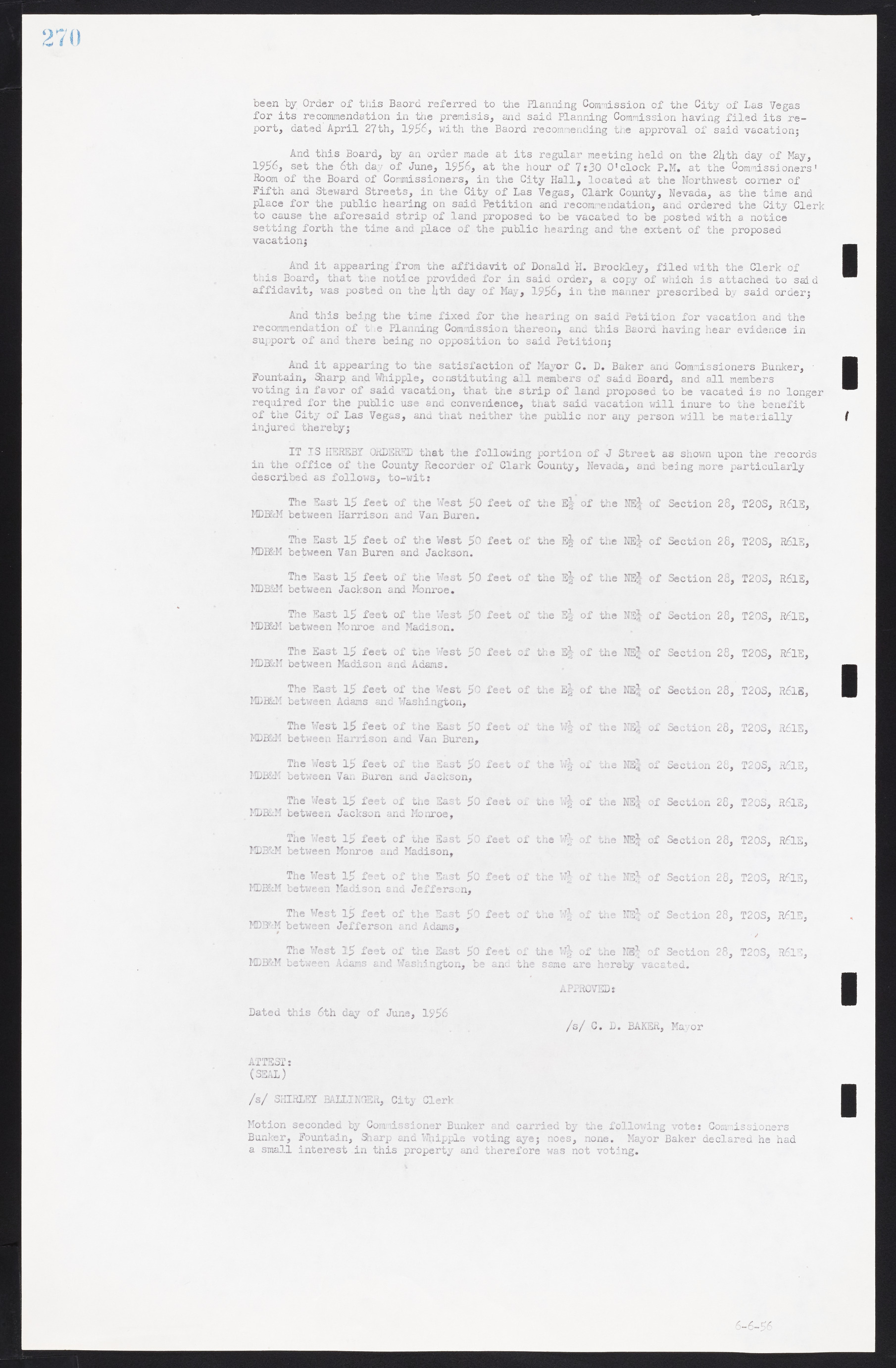
been by Order of this Board referred to the Planning Commission of the City of Las Vegas for its recommendation in the premises, and said Planning Commission having filed its report, dated April 27th, 1956, with the Board recommending the approval of said vacation; And this Board, by an order made at its regular meeting held on the 24th day of May, 1956, set the 6th day of June, 1956, at the hour of 7:30 O'clock P.M. at the Commissioners' Room of the Board of Commissioners, in the City Hall, located at the Northwest corner of Fifth and Steward Streets, in the City of Las Vegas, Clark County, Nevada, as the time and place for the public hearing on said Petition and recommendation, and ordered the City Clerk to cause the aforesaid strip of land proposed to be vacated to be posted with a notice setting forth the time and place of the public hearing and the extent of the proposed vacation; And it appearing from the affidavit of Donald H. Brockley, filed with the Clerk of this Board, that the notice provided for in said order, a copy of which is attached to said affidavit, was posted on the 4th day of May, 1956, in the manner prescribed by said order; And this being the tine fixed for the hearing on said Petition for vacation and the recommendation of the Planning Commission thereon, and this Board having hear evidence in support of and there being no opposition to said Petition; And it appearing to the satisfaction of Mayor C. D. Baker and Commissioners Bunker, Fountain, Sharp and Whipple, constituting all members of said Board, and all members voting in favor of said vacation, that the strip of land proposed to be vacated is no longer required for the public use and convenience, that said vacation will inure to the benefit of the City of Las Vegas, and that neither the public nor any person will be materially injured thereby; IT IS HEREBY ORDERED that the following portion of J Street as shown upon the records in the office of the County Recorder of Clark County, Nevada, and being more particularly described as follows, to-wit: The East 15 feet of the West 50 feet of the E½ of the NE¼ of Section 28, T20S, R61E, MDB&M between Harrison and Van Buren. The East 15 feet of the West 50 feet of the E½ of the NE¼ of Section 28, T20S, R61E, MDB&M between Van Buren and Jackson. The East 15 feet of the West 50 feet of the E½ of the NE¼ of Section 28, T20S, R61E, MDB&M between Jackson and Monroe. The East 15 feet of the West 50 feet of the E½ of the NE¼ of Section 28, T20S, R61E, MDB&M between Monroe and Madison. The East 15 feet of the West 50 feet of the E½ of the NE¼ of Section 28, T20S, R61E, MDB&M between Madison and Adams. The East 15 feet of the West 50 feet of the E½ of the NE¼ of Section 28, T20S, R61E, MDB&M between Adams and Washington, The West 15 feet of the East 50 feet of the W½ of the NE¼ of Section 28, T20S, R61E, MDB&M between Harrison and Van Buren, The West 15 feet of the East 50 feet of the W½ of the NE¼ of Section 28, T20S, R61E, MDB&M between Van Buren and Jackson, The West 15 feet of the East 50 feet of the W½ of the NE¼ of Section 28, T20S, R61E, MDB&M between Jackson and Monroe, The West 15 feet of the East 50 feet of the W½ of the NE¼ of Section 28, T20S, R61E, MDB&M between Monroe and Madison, The West 15 feet of the East 50 feet of the W½ of the NE¼ of Section 28, T20S, R61E, MDB&M between Madison and Jefferson, The West 15 feet of the East 50 feet of the W½ of the NE¼ of Section 28, T20S, R61E, MDB&M between Jefferson and Adams, The West 15 feet of the East 50 feet of the W½ of the NE¼ of Section 28, T20S, R61E, MDB&M between Adams and Washington, be and the same are hereby vacated. APPROVED: Dated this 6th day of June, 1956 /s/ C. D. BAKER, Mayor ATTEST: (SEAL) /s/ SHIRLEY BALLIN3ER, City Clerk Motion seconded by Commissioner Bunker and carried by the following vote: Commissioners Bunker, Fountain, Sharp and Whipple voting aye; noes, none. Mayor Baker declared he had a small interest in this property and therefore was not voting.

