Copyright & Fair-use Agreement
UNLV Special Collections provides copies of materials to facilitate private study, scholarship, or research. Material not in the public domain may be used according to fair use of copyrighted materials as defined by copyright law. Please cite us.
Please note that UNLV may not own the copyright to these materials and cannot provide permission to publish or distribute materials when UNLV is not the copyright holder. The user is solely responsible for determining the copyright status of materials and obtaining permission to use material from the copyright holder and for determining whether any permissions relating to any other rights are necessary for the intended use, and for obtaining all required permissions beyond that allowed by fair use.
Read more about our reproduction and use policy.
I agree.Information
Digital ID
Permalink
Details
Member of
More Info
Rights
Digital Provenance
Publisher
Transcription
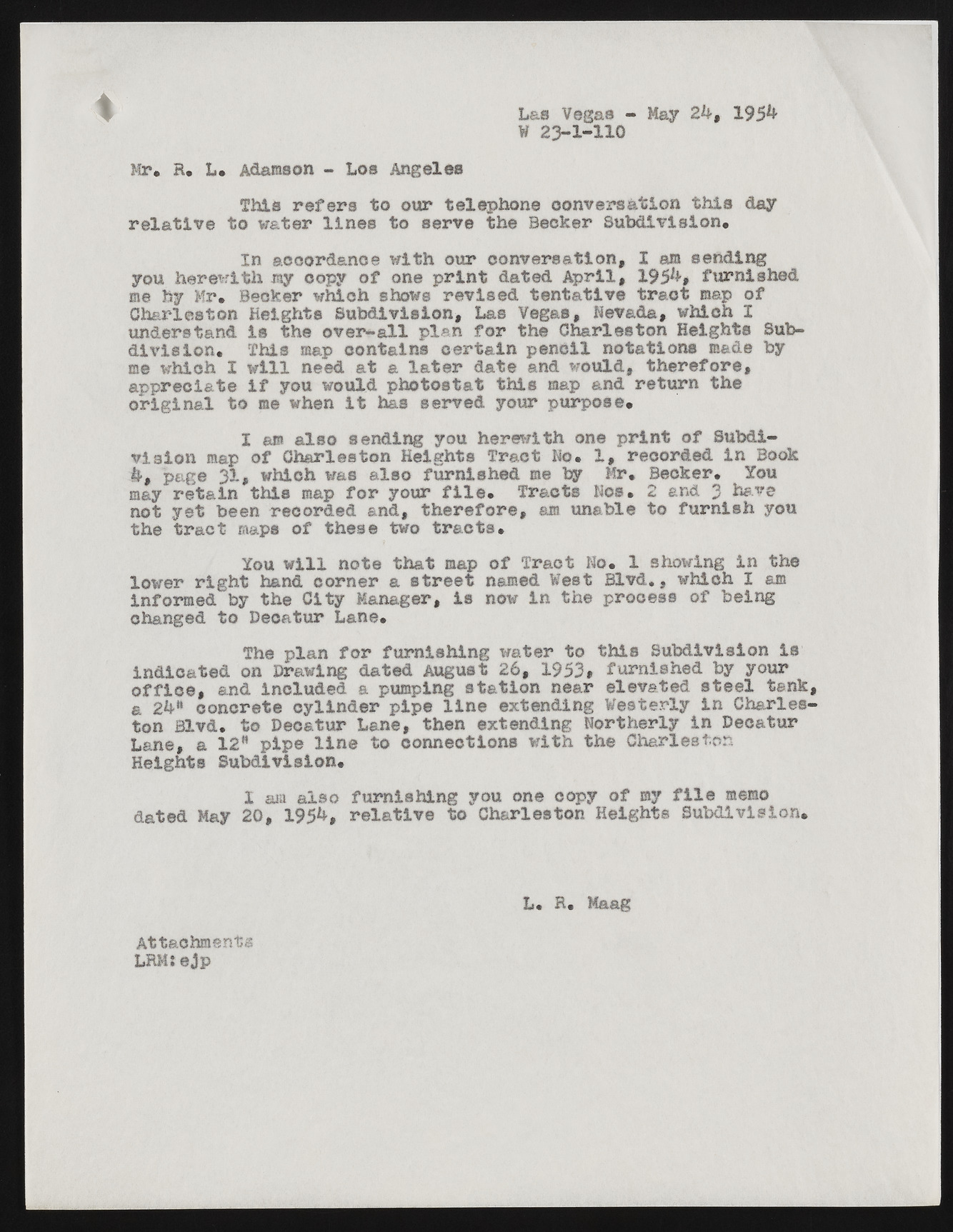
Las Vegas - May 2 k $ 195** W 23-1-HO Mr* R. L„ Adamson - Los Angelos This refers to our telephone conversation this day relative to water lines to serve the Becker Subdivision, In accordance with our conversation, I am sending you herewith my copy of one print dated April, 195^» furnished me by Mr. Becker which shows revised tentative tract map of Charleston Heights Subdivision, Las Vegas, Nevada, which I understand is the over-all plan for the Charleston Heights Subdivision, This map contains certain pencil notations made by me which I will need at a later date and would, therefore, appreciate if you would photostat this map and return the original to me when it has served your purpose, I am also sending you herewith one print of Subdivision map of Charleston Heights Tract No, 1, recorded in Book page 31, which was also furnished me by Mr. Becker. You may retain this map for your file. Tracts Nos. 2 and 3 have not yet been recorded and, therefore, am unable to furnish you the tract maps of these two tracts. You will note that map of Tract No. 1 showing in the lower right hand corner a street named West Blvd., which I am informed by the City Manager, is now in the process of being changed to Decatur Lane. The plan for furnishing water to this Subdivision Is indicated on Drawing dated August 26, 1953# furnished by your office, and included a pumping station near elevated steel tank, a 2k* concrete cylinder pipe line extending Westerly in Charleston Blvd. to Decatur Lane, then extending Northerly in Decatur Lane, a 12" pipe line to connections with the Charleston Heights Subdivision. X &ra also furnishing you one copy of my file memo dated May 20, 195h, relative to Charleston Heights Subdivision. Attachments LRMiejp L. R. Maag

