Copyright & Fair-use Agreement
UNLV Special Collections provides copies of materials to facilitate private study, scholarship, or research. Material not in the public domain may be used according to fair use of copyrighted materials as defined by copyright law. Please cite us.
Please note that UNLV may not own the copyright to these materials and cannot provide permission to publish or distribute materials when UNLV is not the copyright holder. The user is solely responsible for determining the copyright status of materials and obtaining permission to use material from the copyright holder and for determining whether any permissions relating to any other rights are necessary for the intended use, and for obtaining all required permissions beyond that allowed by fair use.
Read more about our reproduction and use policy.
I agree.Information
Digital ID
Permalink
Details
Member of
More Info
Rights
Digital Provenance
Publisher
Transcription
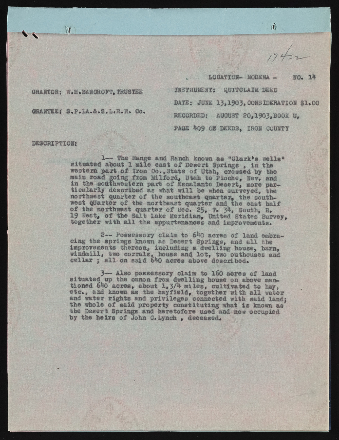
W i GRA9T0R: W.H. BASCROFT, TRUSTEE ISSTRUMEKT: QUITCLAIM DEED DATE: W 13,1903# CQ88IDEHATI09 #1,00 GHAiTSIi S .F .LA.&.S.L.R.R. wCo.. RECOR_DED: AUGUST 20,1903,BOOK U, PAGE 409 0 » DEEDS, IR09 C0U9TT DE3CRIPTI0M; 1— The Range and Ranch known a s “C la r k 's w a lls * situ a te d about 1 m ile e a s t o f D esert Springs , in ike w estern part o f Iro n C o .,S ta te o f Utah, crossed by the wain road going from M ilfo rd , Utah to Pioche, le v , and in the southwestern p art o f E scalante D esert, more p a r* t ic u la r ly d escribed as what w i l l be when surveyed, the northwest q u a rte r o f the southeast q u a rte r, the southwest q u a rte r o f the northeast q u a rte r and the east h a lf o f the northwest q u a rte r o f Sec. 25, T* 3b, South, S, 19 t e s t , o f the S a lt hake M erid ian , United States Survey, togeth er w ith a l l the appurtenances and improvements. 2~~ Possessory claim to &ko acres o f land embracin g the sp rin g s known as Desert S p rin g s, and a l l the improvements thereon, in clu d in g a d w ellin g house, b am , w in dm ill, two c o r r a ls , house and l o t , two outhouses and c e lla r ; a ll/ on s a id PK) acres above d escrib ed , 3— A lso possessory claim to 160 a c re s o f land situ a te d up the canon from d w e llin g house on above mentioned 64o a c re s , about 1,3/^ m ile s , c u ltiv a te d to hay, e t c . , and known as the h a y fie ld , togeth er w ith a l l water and w ater r ig h t s and p r iv ile g e s connected w ith sa id lan d; the whole o f s a id p rop erty c o n s titu tin g what i s known as the D esert Springs and h ere to fo re used and now occupied by the h e ir s o f John C.Lynch , deceased. , LOCATIOM- MODEM - 90. 14

