Copyright & Fair-use Agreement
UNLV Special Collections provides copies of materials to facilitate private study, scholarship, or research. Material not in the public domain may be used according to fair use of copyrighted materials as defined by copyright law. Please cite us.
Please note that UNLV may not own the copyright to these materials and cannot provide permission to publish or distribute materials when UNLV is not the copyright holder. The user is solely responsible for determining the copyright status of materials and obtaining permission to use material from the copyright holder and for determining whether any permissions relating to any other rights are necessary for the intended use, and for obtaining all required permissions beyond that allowed by fair use.
Read more about our reproduction and use policy.
I agree.Information
Digital ID
Permalink
Details
Member of
More Info
Rights
Digital Provenance
Publisher
Transcription
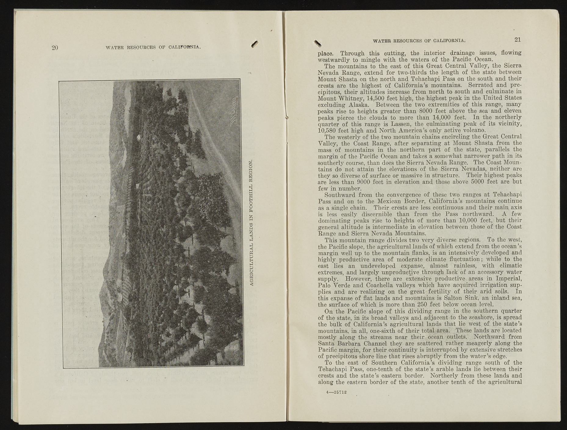
AGRICULTURAL LANDS IN FOOTHILL REGION. WATER RESOURCES OF CALIFORNIA. 21 place. Through this cutting, the interior drainage issues, flowing westwardly to mingle with the waters of the Pacific Ocean. The mountains to the. east of this Great Central Yalley, the Sierra Nevada Range, extend for two-thirds the length of the state between Mount Shasta on the north and Tehachapi Pass on the south and their crests are the highest of California’s mountains. Serrated and precipitous, their altitudes increase from north to south and culminate in Mount Whitney, 14,500 feet high, the highest peak in the United States excluding Alaska. Between the two extremities of this range, many peaks rise to heights greater than 8000 feet above the sea ’ and eleven peaks pierce the clouds to more than 14,000 feet. In the northerly quarter of this range is Lassen, the culminating peak of its vicinity, 10,580 feet high and North America’s only active volcano. The westerly of the two mountain chains encircling the Great Central Valley, the Coast Range, after separating at Mount Shasta from the mass of mountains in the .northern part of the state, parallels the margin of the Pacific Ocean and takes a somewhat narrower path in its southerly course, than does the Sierra Nevada Range. The Coast Mountains do not attain the elevations of the Sierra Nevadas, neither are they so diverse of surface or massive in structure. Their highest peaks are less than 9000 feet in elevation and those above 5000 feet are but few in number. Southward from the convergence o f these two ranges at Tehachapi Pass and on to the Mexican Border, California’s mountains continue as a single chain. Their crests are less, continuous,and their main, axis is less easily discernible than from the Pass northward. A few dominating peaks rise to heights of more than 10,000 feet, but their general altitude is intermediate in elevation between those of the Coast Range and Sierra Nevada Mountains. This mountain range divides two very diverse regions,. To the west, the Pacific slope, the agricultural lands of which extend from the ocean’s margin well up to the mountain flanks, is an intensively. deyelbp,ed and highly productive area of moderate climate fluctuation; while to the east lies an undeveloped expanse, almost rainless, with climatic extremes, and largely unproductive through lack of an accessory water supply. However, there are extensive productive, areas in Imperial, Palo Verde and Coachella valleys which have acquired irrigation supplies and are realizing on the great fertility of their arid soils. In this expanse of flat lands and mountains is Salton Sink, an inland sea, the surface of which is more than 250 feet below ocean level. On the Pacific slope of this dividing range in the southern quarter of the state, in its broad valleys and adjacent to the seashore, is spread the bulk of California’s agricultural lands that lie west of the state’s mountains, in all, one-sixth of their total area. -These lands are located mostly along the streams near their ocean outlets. Northward from Santa Barbara Channel they are- scattered rather meagerly along the Pacific margin, for their continuity is interrupted by extensive stretches of precipitous shore line that rises abruptly from the water’s edge. To the east of Southern California’s dividing range south of the Tehachapi Pass, one-tenth of the state’s arable lands lie between their crests and the state’s eastern border. Northerly from these lands and along the eastern border of the state, another tenth of the agricultural 4— 25712

