Copyright & Fair-use Agreement
UNLV Special Collections provides copies of materials to facilitate private study, scholarship, or research. Material not in the public domain may be used according to fair use of copyrighted materials as defined by copyright law. Please cite us.
Please note that UNLV may not own the copyright to these materials and cannot provide permission to publish or distribute materials when UNLV is not the copyright holder. The user is solely responsible for determining the copyright status of materials and obtaining permission to use material from the copyright holder and for determining whether any permissions relating to any other rights are necessary for the intended use, and for obtaining all required permissions beyond that allowed by fair use.
Read more about our reproduction and use policy.
I agree.Information
Digital ID
Permalink
Details
More Info
Rights
Digital Provenance
Publisher
Transcription
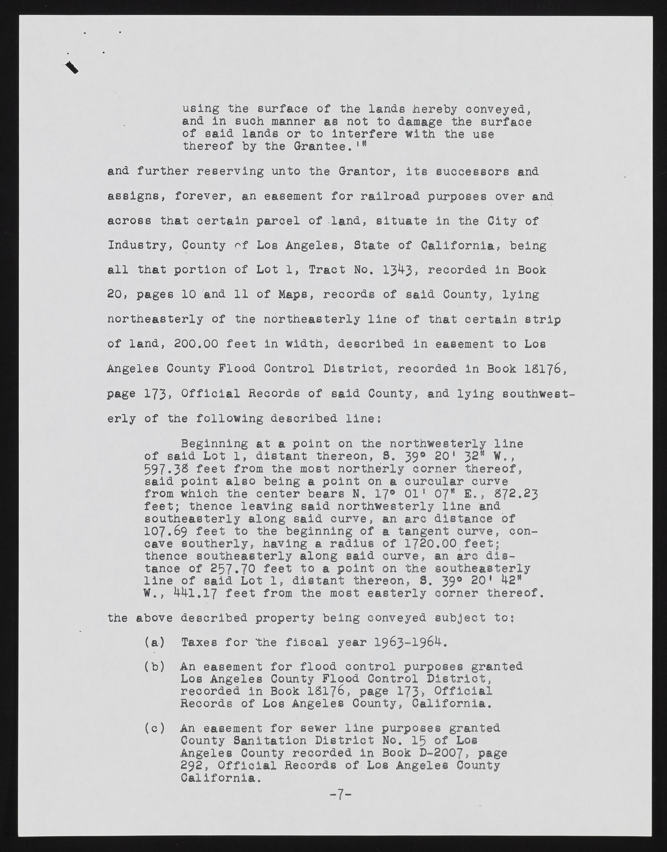
using the surface of the lands hereby conveyed, and in such manner as not to damage the surface of said lands or to interfere with the use thereof by the Grantee.'f and further reserving unto the Grantor, its successors and assigns, forever, an easement for railroad purposes over and across that certain parcel of land, situate in the City of Industry, County of Los Angeles, State of California!, being all that portion of Lot 1, Tract No. 1343, recorded in Book 20, pages 10 and 11 of Maps, records of said County, lying northeasterly of the northeasterly line of that certain strip of land, 200.00 feet in width, described in easement to Los Angeles County Flood Control District, recorded in Book IS176 , page 173, Official Records of said County, and lying southwesterly of the following described line; Beginning at a point on the northwesterly line of said Lot 1, distant thereon, S. 39® 20' 32M W., 597.3B feet from the most northerly corner thereof, said point also being a point on a curcular curve from which the center bears N. 17° 01' 07" E., 872.23 feet; thence leaving said northwesterly line and southeasterly along said curve, an arc distance of IO7.69 feet to the beginning of a tangent curve, concave southerly, having a radius of 1720.00 feet; thence southeasterly along said curve, an arc distance of 257.70 feet to a point on the southeasterly line of said Lot 1, distant thereon, S. 39® 20' 42M W., 441.17 feet from the most easterly corner thereof. the above described property being conveyed subject to; (a) Taxes for the fiscal year 1963-1964. (b) An easement for flood control purposes granted Los Angeles County Flood Control District, recorded in Book IS1 7 6 , page 173> Official Records of Los Angeles County, California. (c) An easement for sewer line purposes granted County Sanitation District No. 15 of Los Angeles County recorded in Book D-2007, page 292, Official Records of Los Angeles County California. -7-

