Copyright & Fair-use Agreement
UNLV Special Collections provides copies of materials to facilitate private study, scholarship, or research. Material not in the public domain may be used according to fair use of copyrighted materials as defined by copyright law. Please cite us.
Please note that UNLV may not own the copyright to these materials and cannot provide permission to publish or distribute materials when UNLV is not the copyright holder. The user is solely responsible for determining the copyright status of materials and obtaining permission to use material from the copyright holder and for determining whether any permissions relating to any other rights are necessary for the intended use, and for obtaining all required permissions beyond that allowed by fair use.
Read more about our reproduction and use policy.
I agree.Information
Digital ID
Permalink
Details
Member of
More Info
Rights
Digital Provenance
Publisher
Transcription
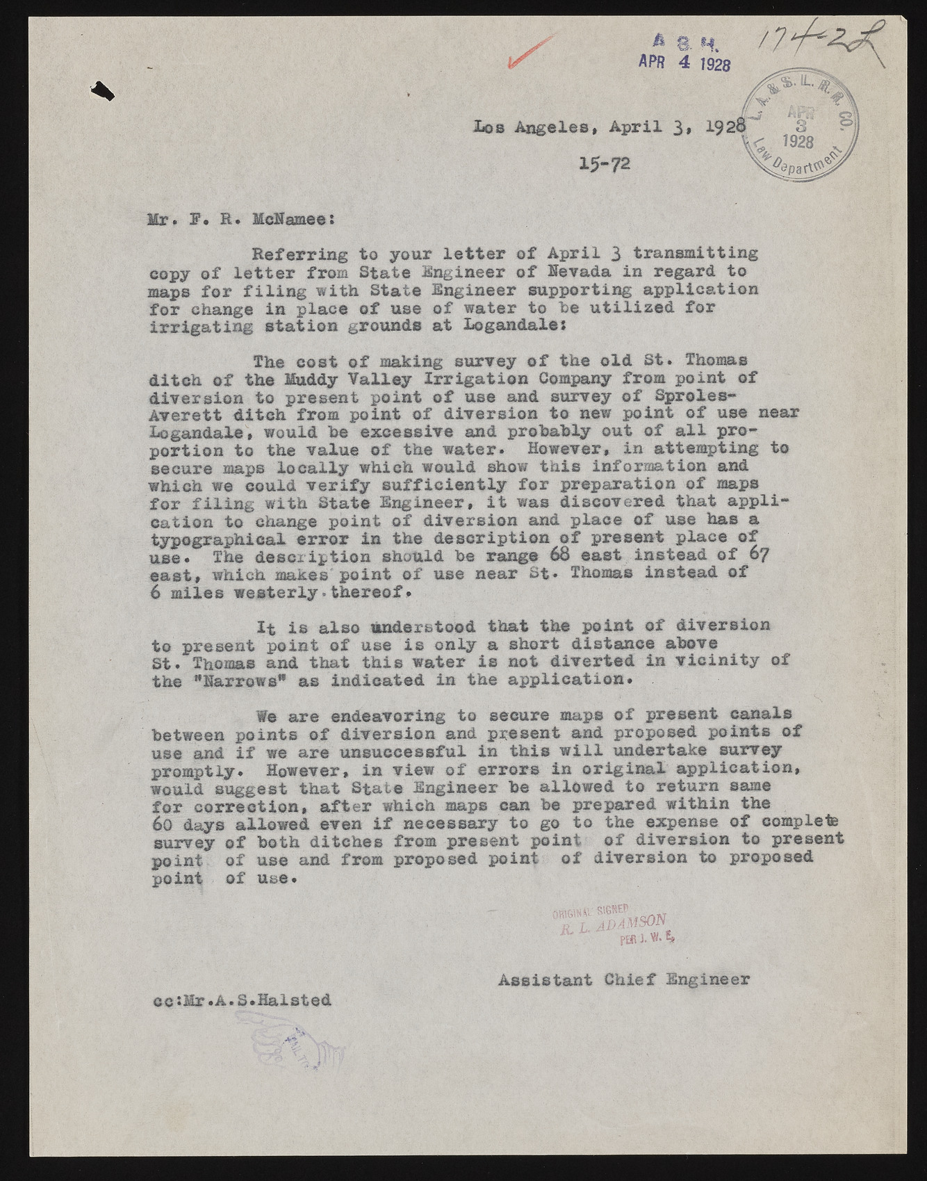
Mr. E. R. McEamee: * 8 H f ? APR 4 1928 Lob A n geles> A p r il 3* 1928 15-72 R e fe r rin g to your l e t t e r o f A p r il 3 tran sm ittin g copy o f l e t t e r from S tate Engineer o f Hev&da in regard to maps fo r f i l i n g w ith State Engineer supporting a p p lic a tio n fo r change in place o f use o f water to he u t i l i z e d fo r ir r ig a t in g s ta tio n grounds at Logandales d itc h o f the Muddy V a lle y I r r ig a t io n Company from poin t o f d iv e rs io n to present p oin t o f use and survey o f S proles- A v e re tt d itc h from p o in t o f d iv ers io n to new poin t o f use near Logandale, would he excessive and probably out o f a l l prop o rtio n to the value o f the w ater. However, in attem pting to secure maps lo c a lly which would show th is inform ation and which we could v e r i f y s u ffic ie n t ly fo r preparation o f maps f o r f i l i n g w ith S tate Engineer, i t was discovered th at a p p lica tio n to change p o in t o f d iv ers io n and place o f use has a typograph ical e r r o r in the d e s c rip tio n o f present place o f use. The d e s c rip tio n should be rang® 68 east instead o f 67 e a s t, which makes p oin t o f use near St* Thomas instead o f 6 m iles w e s te r ly •th e r e o f* to present p oin t o f use is on ly a short distance above S t. Thomas and th at th is w ater is not d iv e r te d in v i c i n i t y o f the "Harrows" as in d ica ted in the a p p lic a tio n . between p oin ts o f d iv e rs io n and present and proposed p oin ts o f use and i f we are unsuccessful in th is w i l l undertake survey prom ptly. However, in view o f e rro rs in o r ig in a l a p p lic a tio n , would suggest th at S tate Engineer be allow ed to return same fo r c o r re c tio n , a ft e r which maps can be prepared w ith in the 60 days allow ed even i f necessary to go to the expense o f complete survey o f both d itch es from present point o f d iv ers io n to present poin t o f use and from proposed point o f d iv ers io n to proposed point o f use. The cost o f making survey o f the o ld S t. Thomas I t is a lso understood th at the p o in t o f d iv ers io n We are endeavoring to secure maps o f present canals A ssista n t C h ief Engineer ec *Hr.A. S.H alsted

