Copyright & Fair-use Agreement
UNLV Special Collections provides copies of materials to facilitate private study, scholarship, or research. Material not in the public domain may be used according to fair use of copyrighted materials as defined by copyright law. Please cite us.
Please note that UNLV may not own the copyright to these materials and cannot provide permission to publish or distribute materials when UNLV is not the copyright holder. The user is solely responsible for determining the copyright status of materials and obtaining permission to use material from the copyright holder and for determining whether any permissions relating to any other rights are necessary for the intended use, and for obtaining all required permissions beyond that allowed by fair use.
Read more about our reproduction and use policy.
I agree.Information
Digital ID
Permalink
Details
Member of
More Info
Rights
Digital Provenance
Publisher
Transcription
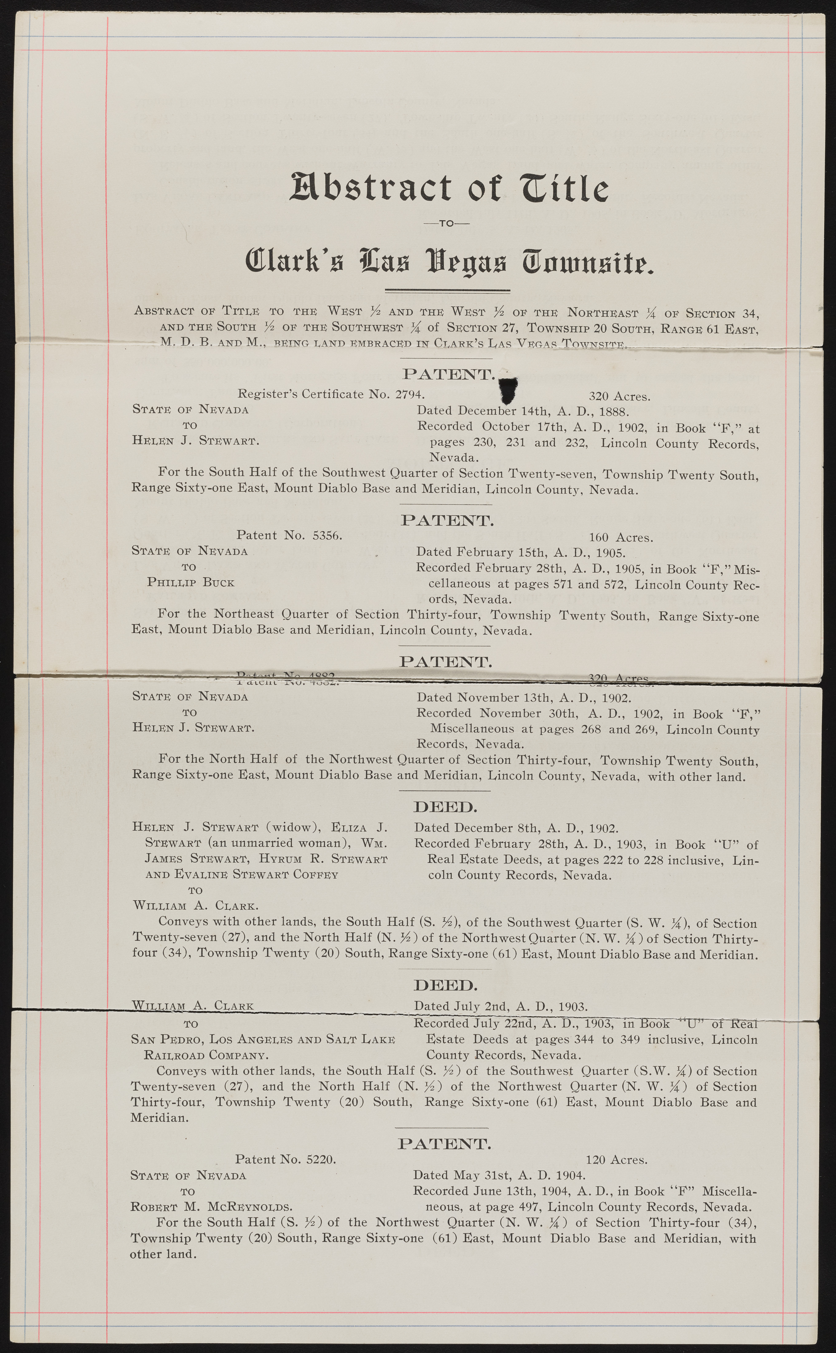
Bbstract ot XLitlc QUarfe’a Idas Iteijaa ®numatt^. Abstract of Title to the West % and the West % of the Northeast and the South of the Southwest of Section 27, Township 20 South, Range 61 East, - M. D. B. ANUMv, BEING LAND EMBRACED IN ClARK’s Las Vug as Tnwjj^T'i'B. PATENT.^ Register’s Certificate No. 2794. mf 320 Acres. Dated December 14th, A. D., 1888. Recorded October 17th, A. D., 1902, pages 230, 231 and 282, Lincoln Nevada. For the South Half of the Southwest Quarter of Section Twenty-seven, Township Twenty South, Range Sixty-one East, Mount Diablo Base and Meridian, Lincoln County, Nevada. State: of Nevada to Helen J. Stewart in Book “F,” at County Records, PATENT. Patent No. 5356. State of Nevada to Phillip Buck 160 Acres. Dated February 15th, A. D., 1905. Recorded February 28th, A. D., 1905, in Book 4 4F,” Miscellaneous at pages 571 and 572, Lincoln County Records, Nevada, i For the Northeast Quarter of Section Thirty-four, Township Twenty South, Range Sixty-one East, Mount Diablo Base and Meridian, Lincoln County, Nevada. PATENT. | "X a tcii l - State of Nevada to Helen J. Stewart. Dated November 13th, A. D., 1902. Recorded November 30th, A. D., 1902, in Book “F,” Miscellaneous at pages 268 and 269, Lincoln County Records, Nevada. For the North Half of the Northwest Quarter of Section Thirty-four, Township Twenty South, Range Sixty-one East, Mount Diablo Base and Meridian, Lincoln County, Nevada, with other land. PEEP. Helen J. Stewart (widow), Eliza J. Stewart (an unmarried woman), Wm. James Stewart, Hyrum R. Stewart and Evaline Stewart Coffey to William A. Clark. Conveys with other lands, the South Half (S. ft), of the Southwest Quarter (S. W. ft), of Section Twenty-seven (27), and the North Half (N. ftz ) of the Northwest Quarter (N. W. ft) of Section Thirty- four (34), Township Twenty (20) South, Range Sixty-one (61) East, Mount Diablo Base and Meridian. Dated December 8th, A. D., 1902. Recorded February 28th, A. D., 1903, in Book “U” of Real Estate Deeds, at pages 222 to 228 inclusive, Lincoln County Records, Nevada. PEEP. ?William A. Clark ' , Dated July 2nd, A. D., 1903. TO ~ Recorded July 22nd, A. D., 1903, Tn Book HCP of Rear San Pedro, Los Angeles and Salt Lake Estate Deeds at pages 344 to 349 inclusive, Lincoln Railroad Company. County Records, Nevada. Conveys with other lands, the South Half (S. ft) of the Southwest Quarterns. W. ft) of Section Twenty-seven (27), and the North Half (N. ft) of the Northwest Quarter (N. W. ft) of Section Thirty-four, Township Twenty (20) South, Range Sixty-one (61) East, Mount Diablo Base and Meridian. Patent No. 5220. State of Nevada to Robert M. McReynolds. PATENT. 120 Acres. Dated May 31st, A. D. 1904. Recorded June 13th, 1904, A. D., in Book “F” Miscellaneous, at page 497, Lincoln County Records, Nevada. For the South Half (S. ft) of the Northwest Quarter (N. W. .ft) of Section Thirty-four (34), Township Twenty (20) South, Range Sixty-one (61) East, Mount Diablo Base and Meridian, with other land.

