Copyright & Fair-use Agreement
UNLV Special Collections provides copies of materials to facilitate private study, scholarship, or research. Material not in the public domain may be used according to fair use of copyrighted materials as defined by copyright law. Please cite us.
Please note that UNLV may not own the copyright to these materials and cannot provide permission to publish or distribute materials when UNLV is not the copyright holder. The user is solely responsible for determining the copyright status of materials and obtaining permission to use material from the copyright holder and for determining whether any permissions relating to any other rights are necessary for the intended use, and for obtaining all required permissions beyond that allowed by fair use.
Read more about our reproduction and use policy.
I agree.Information
Digital ID
Permalink
Details
Member of
More Info
Rights
Digital Provenance
Publisher
Transcription
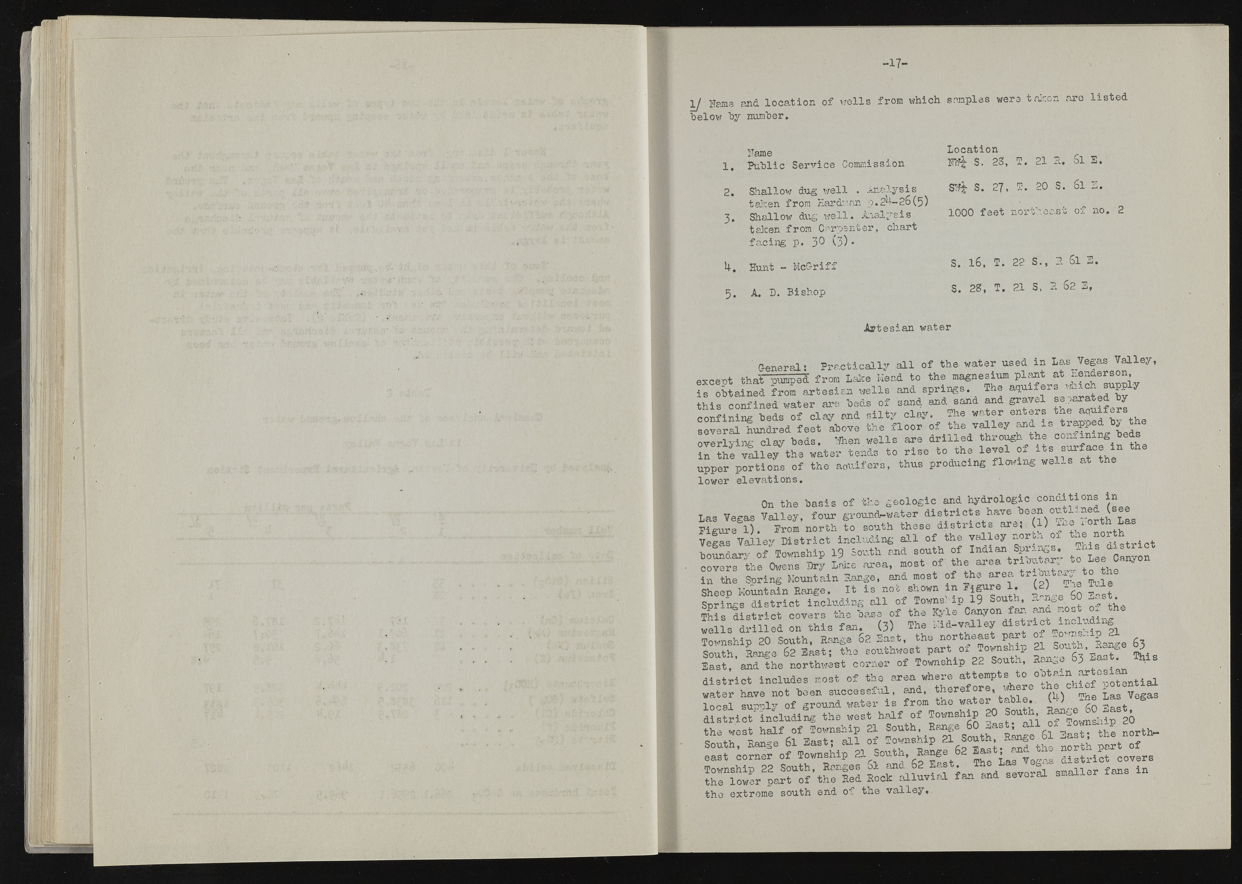
mm i s ? i l l i ? I « B r a l |§ '£ % pk . ||f|i • • i i i $t ? ? ? |||| in <1 1/ lams and location of wells from which samples were taken arc listed below by number. Fame 1. Public Service Commission 2. Shallow dug well . Analysis taken from Hard:'an p. 2^— 26(5) 3. Shallow dug well. Analysis taken from Carpenter, chart facing p. 30 (3)• H, Hunt - McGriff 5. A. D. Bishop Location S. 23, T. 21 R* Si E. SWf S. 27, I . 20 S. Si 3. 1000 feet northeast of no. 2 S. 16, T. 22 S., 3. Si E. S. 23, T. 21 S, a S2 3, Artesian water General: Practically all of the- water used in Las_ Vegas Valley, excent that pumped from Lake Mead to the magnesium plant at nenderson, is obtained from artesian wells and springs. The aquifers wii PP y this confined water are beds of sand and sarid and gravel separated y confiningbeds*o£ d a y end silty clay. The water enters the aquxfers several hundred feet above the floor of the valley and is trapped b* the overlying clay beds. TiJhen wells are drilled through the confining bed. to £ e J S lS T t h e water tends to rise to the level of its surface in the upper portions of the aquifers, thus producing flowing wells at the lower elevations. On the basis of the geologic and hydrologic conditions in Las Veeas Valley, four ground-water districts have been outlined (see Figured). From north to south these districts are; (l) ine xorth Las V e S Valley District including all of the valley north of the north boundary of"Township 19 South and south of Indian Springs. covers the Owens Dry Lake area, most of the area trioutar, ^o Lee Canyo in the Soring Mountain large, and most of the area riou ax Sheen Mountain Range. It is not shown in Figure 1. K2) i m J g J I r i ^ r S s W c t including all of Township 19 South. Songs 60 East This district covers tho base of the Kyle Canyon far. and io n of the M ils drilled on this fan. (3) The Kid-valley Township 20 South, Range 62 East, the northeast par * g Smith Lnee 62 East; the southwest part oi Township 21 Sout ., Kange p E a s ^ 'irfh e n o r to c t corner of Township 22 South, Range 63 East 0* . district includes most of the area where attempts to ootax * ^ H o te n tia l water have not been successful, and, ^Jeref °T®% "(h) She Las Vegas local suiyol^ of ground water is from the water table, t •; . . £ T 2 S S f Uo f l o « ^ Sa fo u lh ! » S s j r a l i o ^ s h i p 00

