Copyright & Fair-use Agreement
UNLV Special Collections provides copies of materials to facilitate private study, scholarship, or research. Material not in the public domain may be used according to fair use of copyrighted materials as defined by copyright law. Please cite us.
Please note that UNLV may not own the copyright to these materials and cannot provide permission to publish or distribute materials when UNLV is not the copyright holder. The user is solely responsible for determining the copyright status of materials and obtaining permission to use material from the copyright holder and for determining whether any permissions relating to any other rights are necessary for the intended use, and for obtaining all required permissions beyond that allowed by fair use.
Read more about our reproduction and use policy.
I agree.Information
Digital ID
Permalink
Details
More Info
Rights
Digital Provenance
Publisher
Transcription
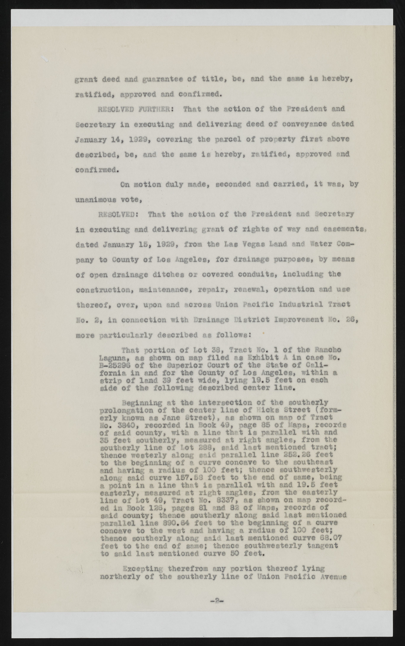
grant deed and guarantee of title, be, and the same is hereby, ratified, approved and confirmed. RESOLVED FURTHERi That the action of the President and Secretary in executing and delivering deed of conveyance dated January 14, 1929, covering the parcel of property first above described, be, and the same is hereby, ratified, approved end confirmed. On motion duly made, seconded and carried, it was, by unanimous vote, RESOLVED* That the action of the President and Secretary in executing and delivering grant of rights of way and easements? dated January 15, 1929, from the Las Vegas Land and Water Company to County of Loe Angeles, for drainage purposes, by means of open drainage ditches or covered conduits, including the construction, maintenance, repair, renewal, operation and use thereof, over, upon and across Union Pacific Industrial Tract Mo. 2, in connection with Drainage District Improvement No. 26, more particularly described as follows: That portion of Lot 38, Tract Ho* 1 of the Rancho Laguna., as shown on map filed as Exhibit A in case Ho. B-25296 of the Superior Court of the State of California in and for the County of Los Angeles, within a strip of land 39 feet wide, lying 19,5 feet on each side of the following described center line. Beginning at the Intersection of the southerly prolongation of the center line of Hicks Street (formerly known as Jane Street), as shown on map of Tract Mo. 3840, recorded in Book 49, page 85 of Haps, records of said county, with a line thrt is parallel with and 35 feet southerly, measured at right angles, from the southerly line of Lot 288, grid last mentioned tract; thence westerly along said parallel line 252.26 feet to the beginning of a curve concave to the southeast and having a radius of 100 feet; thence southwesterly along said curve 157.53 feet to the end of same, being a point in a line that its parallel with and 19.5 feet easterly, measured at right angles, from the easterly line of Lot 49, Tract Ho. 8337, as shown on map recorded in Book 126, pages 81 nd 82 of Maps, record® of said county; thence southerly along said last mentioned parallel line 890.64 feet to the beginning of a curve concave to the west end having a radius of 100 feet; thence southerly along said last mentioned curve 68.07 feet to the end of same; thence southwesterly tangent to said last mentioned curve 50 feet. Excepting: therefrom any portion thereof lying northerly of the southerly line of Union Pacific Avenue

