Copyright & Fair-use Agreement
UNLV Special Collections provides copies of materials to facilitate private study, scholarship, or research. Material not in the public domain may be used according to fair use of copyrighted materials as defined by copyright law. Please cite us.
Please note that UNLV may not own the copyright to these materials and cannot provide permission to publish or distribute materials when UNLV is not the copyright holder. The user is solely responsible for determining the copyright status of materials and obtaining permission to use material from the copyright holder and for determining whether any permissions relating to any other rights are necessary for the intended use, and for obtaining all required permissions beyond that allowed by fair use.
Read more about our reproduction and use policy.
I agree.Information
Digital ID
Permalink
Details
More Info
Rights
Digital Provenance
Publisher
Transcription
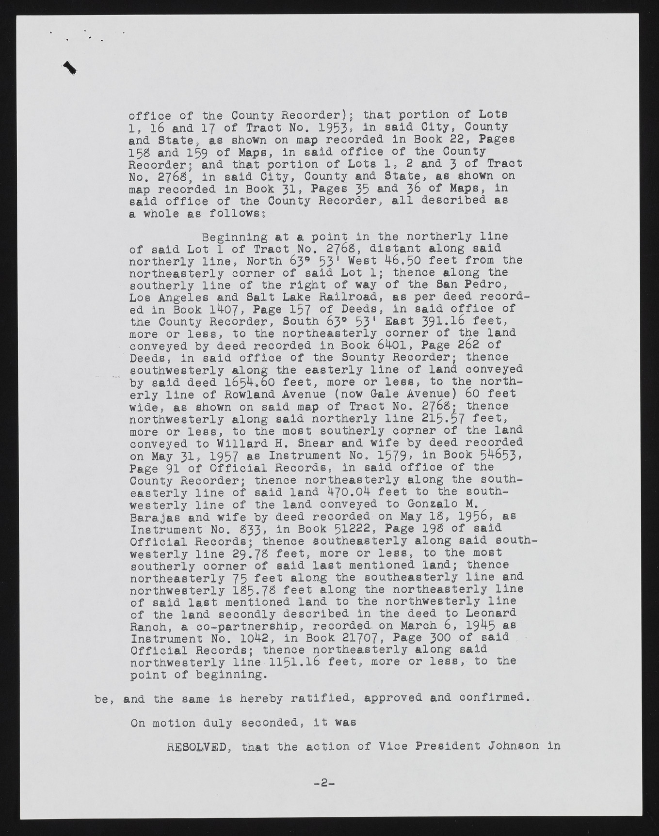
m office of the County Recorder); that portion of Lots 1 , l6 and 17 of Tract No. 1953, in said City, County and State, as shown on map recorded in Book 22, Pages 15S and 159 of Maps, in said office of the County Recorder; and that portion of Lots 1, 2 and 3 of Tract No. 276S, in said City, County and State, as shown on map recorded in Book Jl, Pages 35 and 3& Maps, in said office of the County Recorder, all described as a whole as follows0. Beginning at a point in the northerly line of said Lot 1 of Tract No. 2j68, distant along said northerly line, North 63® 531 Nest 4-6.50 feet: from the northeasterly corner of said Lot 1; thence along the southerly line of the right of way of the San Pedro, Los Angeles and Salt Lake Railroad, as per deed recorded in Book 14-07, Page 157 °f Deeds, in said office of the County Recorder, South 63® 53' East 3 9 1 . 1 6 feet, more or less, to the northeasterly corner of the land conveyed by deed recorded in Book 64-01, Page 262 of Deeds, in said office of the Sounty Recorder; thence southwesterly along the easterly line of land conveyed by said deed 1654.0O feet, more or less, to the northerly line of Rowland Avenue (now Gale Avenue) 60 feet wide, as shown on said map of Tract No. 2766; thence northwesterly along said northerly line 215*57 feet, more or less, to the most southerly corner of the land conveyed to Willard H. Shear and wife by deed recorded on May 3 1 , 1957 as Instrument No. 1579> In Book 5^653, Page 91 of Official Records, in said office of the County Recorder; thence northeasterly along the southeasterly line of said land 470.04 feet to the southwesterly line of the land conveyed to Gonzalo M. Barajas and wife by deed recorded on May IS, 1956, as Instrument No. S33> in Book 51222, Page 19$ of said Official Records; thence southeasterly along said southwesterly line 29.7S feet, more or less, to the most southerly corner of said last mentioned land; thence northeasterly 75 feet along the southeasterly line and northwesterly IS5 .7S feet along the northeasterly line of said last mentioned land to the northwesterly line of the land secondly described in the deed to Leonard Ranch, a co-partnership, recorded on March 6 , 1945 as Instrument No. 1042, in Book 21707, Page J00 of said Official Records; thence northeasterly along said northwesterly line 1 15 1.16 feet, more or less, to the point of beginning. be, and the same is hereby ratified, approved and confirmed. On motion duly seconded, it was RESOLVED, that the action of Vice President Johnson in - 2 -

