Copyright & Fair-use Agreement
UNLV Special Collections provides copies of materials to facilitate private study, scholarship, or research. Material not in the public domain may be used according to fair use of copyrighted materials as defined by copyright law. Please cite us.
Please note that UNLV may not own the copyright to these materials and cannot provide permission to publish or distribute materials when UNLV is not the copyright holder. The user is solely responsible for determining the copyright status of materials and obtaining permission to use material from the copyright holder and for determining whether any permissions relating to any other rights are necessary for the intended use, and for obtaining all required permissions beyond that allowed by fair use.
Read more about our reproduction and use policy.
I agree.Information
Digital ID
Permalink
Details
More Info
Rights
Digital Provenance
Publisher
Transcription
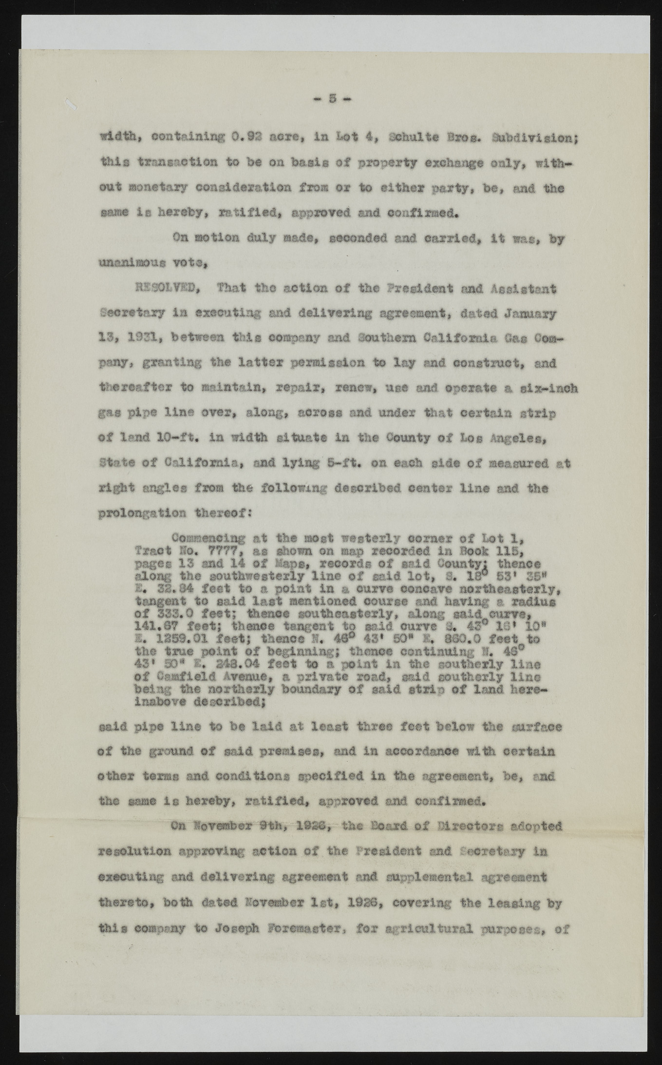
liMj width, containing 0.92 acre, in Lot 4, Qohults Bros. Subdivision; this transaction to be on basis of property exchange only, without monetary consideration from or to either party, be, and the same is hereby, ratified# approved and confirmed. On motion duly made, seconded and carried, it was, by unanimous vote, HESOLVED, That the action of the President and Assistant Secretary in executing and delivering agreement, dated January 13, 1931, between this company and Southern California Oa® Company, granting the latter permission to lay and construct, and thereafter to maintain, repair, renew, use and. operate a six-inch gas pipe line over, along, across and under that certain strip of land 10-ft. in width situate in the County of Los Angeles, State of California, and lying'8-ft. on each side of measured at right angles from the following described ©enter line and the prolongation thereof: Commencing at the most westerly comer of Lot 1, Tract Ito, 7777, as shown on map recorded in Hook IIS, pages 13 and 14 of Maps, records of said County: thence along the southwesterly line of said lot, 9. 18° 53* 35* I. 33.84 feet to a point in a curve concave northeasterly, tangent to said last mentioned course and having a radius of 333.0 feet; thence southeasterly, along said,.curve, 141.87 feet; thence tangent to said curve 3. 43° IS* 10* I. 1359.01 feet; thence 1. 4@° 43* 50* S, 860.0 feet to the true point of beginning; thence continuing 1. 48° 43* 90* £* 343.04 feet to a point in the southerly line of Canfield Avenue, a private road, said southerly lino being the northerly boundary of said strip of land hereinabove described; said pipe line to be laid at least three feet below the surface o f the ground of said premises, and in accordance with certain other terms and conditions specified in the agreement, be, and the same is hereby, ratified, approved and confirmed. m Xoveriber~*th,-193ft, the Board of Directors adopted resolution approving action of the President and Secretary in executing and delivering agreement and supplemental agreement thereto, both dated lovember let, 1838, covering the leasing by this company to Joseph Pd remaster, for agricultural purposes, of US

