Copyright & Fair-use Agreement
UNLV Special Collections provides copies of materials to facilitate private study, scholarship, or research. Material not in the public domain may be used according to fair use of copyrighted materials as defined by copyright law. Please cite us.
Please note that UNLV may not own the copyright to these materials and cannot provide permission to publish or distribute materials when UNLV is not the copyright holder. The user is solely responsible for determining the copyright status of materials and obtaining permission to use material from the copyright holder and for determining whether any permissions relating to any other rights are necessary for the intended use, and for obtaining all required permissions beyond that allowed by fair use.
Read more about our reproduction and use policy.
I agree.Information
Digital ID
Permalink
Details
More Info
Rights
Digital Provenance
Publisher
Transcription
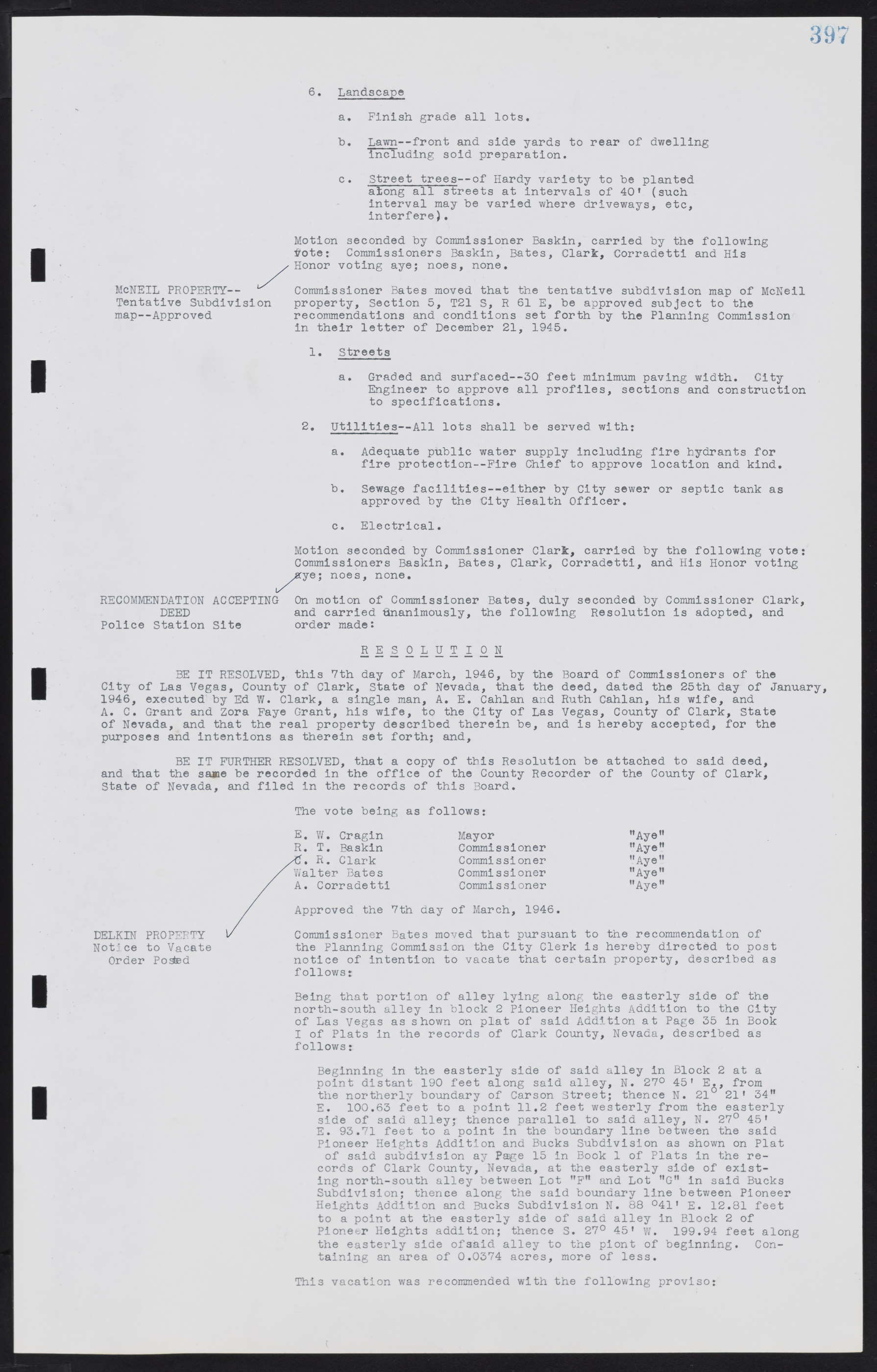
6. Landscape a. Finish grade all lots. b. Lawn—front and side yards to rear of dwelling including soil preparation. c. Street trees—of Hardy variety to be planted along all streets at intervals of 40' (such interval may be varied where driveways, etc, interfere). Motion seconded by Commissioner Baskin, carried by the following vote: Commissioners Baskin, Bates, Clark, Corradetti and His Honor voting aye; noes, none. Commissioner Bates moved that the tentative subdivision map of McNeil property, Section 5, T21 S, R 61 E, be approved subject to the recommendations and conditions set forth by the Planning Commission in their letter of December 21, 1945. 1. Streets a. Graded and surfaced—30 feet minimum paving width. City Engineer to approve all profiles, sections and construction to specifications. 2. Utilities—All lots shall be served with: a. Adequate public water supply including fire hydrants for fire protection—Fire Chief to approve location and kind. b. Sewage facilities—either by City sewer or septic tank as approved by the City Health Officer. c. Electrical. Motion seconded by Commissioner Clark, carried by the following vote: Commissioners Baskin, Bates, Clark, Corradetti, and His Honor voting aye; noes, none. On motion of Commissioner Bates, duly seconded by Commissioner Clark, and carried Unanimously, the following Resolution is adopted, and order made: RESOLUTION BE IT RESOLVED, this 7th day of March, 1946, by the Board of Commissioners of the City of Las Vegas, County of Clark, State of Nevada, that the deed, dated the 25th day of January, 1946, executed by Ed W. Clark, a single man, A. E. Cahlan and Ruth Cahlan, his wife, and A. C. Grant and Zora Faye Grant, his wife, to the City of Las Vegas, County of Clark, State of Nevada, and that the real property described therein be, and is hereby accepted, for the purposes and intentions as therein set forth; and, BE IT FURTHER RESOLVED, that a copy of this Resolution be attached to said deed, and that the same be recorded in the office of the County Recorder of the County of Clark, State of Nevada, and filed in the records of this Board. The vote being as follows: E. W. Cragin Mayor "Aye" R. T. Baskin Commissioner "Aye" C. R. Clark Commissioner "Aye" Walter Bates Commissioner "Aye" A. Corradetti Commissioner "Aye" Approved the 7th day of March, 1946. Commissioner Bates moved that pursuant to the recommendation of the Planning Commission the City Clerk is hereby directed to post notice of intention to vacate that certain property, described as follows: Being that portion of alley lying along the easterly side of the north-south alley in block 2 Pioneer Heights Addition to the City of Las Vegas as shown on plat of said Addition at Page 35 in Book I of Plats in the records of Clark County, Nevada, described as follows: Beginning in the easterly side of said alley in Block 2 at a point distant 190 feet along said alley, N. 27° 45' E., from the northerly boundary of Carson Street; thence N. 21° 21' 34" E. 100.63 feet to a point 11.2 feet westerly from the easterly side of said alley; thence parallel to said alley, N. 27° 45' E. 93.71 feet to a point in the boundary line between the said Pioneer Heights Addition and Bucks Subdivision as shown on Plat of said subdivision ay Page 15 in Book 1 of Plats in the records of Clark County, Nevada, at the easterly side of existing north-south alley between Lot "F" and Lot "G" in said Bucks Subdivision; thence along the said boundary line between Pioneer Heights Addition and Bucks Subdivision N. 88° 41' E. 12.81 feet to a point at the easterly side of said alley in Block 2 of Pioneer Heights addition; thence S. 27° 45' W. 199.94 feet along the easterly side of said alley to the point of beginning. Containing an area of 0.0374 acres, more of less. This vacation was recommended with the following proviso: DELKIN PROPERTY Notice to Vacate Order Posted RECOMMENDATION ACCEPTING DEED Police Station Site McNEIL PROPERTY— Tentative Subdivision map—Approved

