Copyright & Fair-use Agreement
UNLV Special Collections provides copies of materials to facilitate private study, scholarship, or research. Material not in the public domain may be used according to fair use of copyrighted materials as defined by copyright law. Please cite us.
Please note that UNLV may not own the copyright to these materials and cannot provide permission to publish or distribute materials when UNLV is not the copyright holder. The user is solely responsible for determining the copyright status of materials and obtaining permission to use material from the copyright holder and for determining whether any permissions relating to any other rights are necessary for the intended use, and for obtaining all required permissions beyond that allowed by fair use.
Read more about our reproduction and use policy.
I agree.Information
Digital ID
Permalink
Details
Member of
More Info
Rights
Digital Provenance
Publisher
Transcription
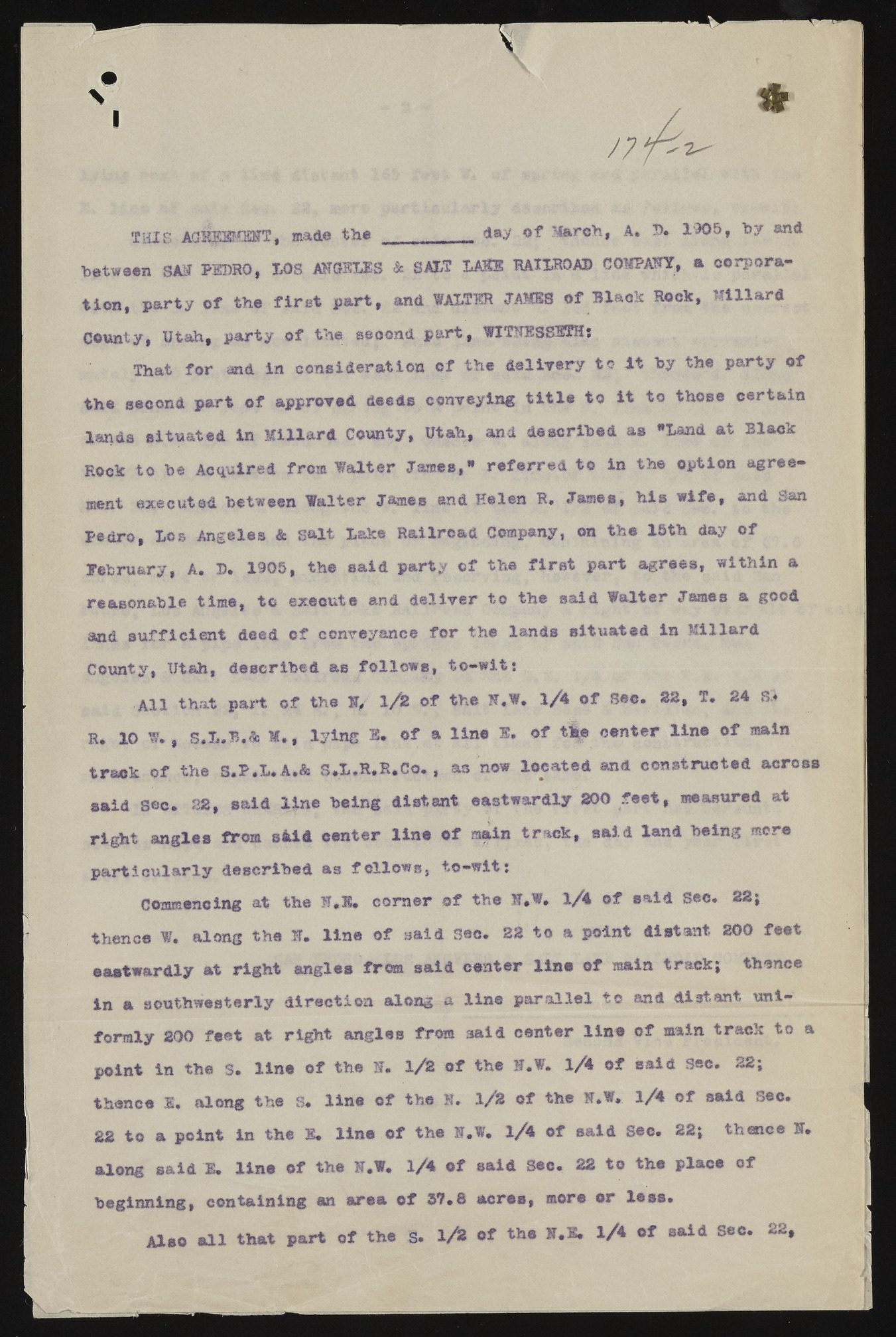
I 111 5HIS. AO^PEMMT, made the •* .M&reh, A. D. 1905, toy •»* between SAM PEDRO, LOS A H O M S & SALT LASS RAILROAD COMPAQ, a corporation, party of the first part, and WALTER JAMIS of Black Rock, Millard County, Utah, party of the second part, WITMESSSTHj That for and in consideration of the delivery to -it toy the party of the second part of approved deeds conveying title to it to those certain lands situated in Millard County, Utah, and described as "Land at Black Rock to toe Acquired from Walter James,* referred to in the option agreement executed between Walter James and Helen R» James, his wife, and San Pedro, Los Angeles & gait Lake Railroad Company, on the 15th day of Eebru&ry, A. 15* 1905, the said party of the first part agrees, within a reasonable time, to execute and deliver to the said Walter James a good and sufficient deed of conveyance for the lands situated in Millard County, Utah, described as follows, to-witj All that part of the H, 1 / Z of the If.W* l/i of Sec* SB, T* 24 S.« R. 10 W* # S.L.B.& M,, lying L of a line ®. of the center line of main track of the S.P.L.A.& S.L.R.R.Co. , as now located and constructed across said Sec. 22, said line toeing distant eastwardly 200 feet, measured at right angles from skid center line of main track, said land toeing mere particularly described as follows, to-wit: Commencing at the S-*l* corner of the H*W. 1/4 of said Sec. 22; thence W. along the f* line of said Sec. 22 to a point distant 200 feet eastwardly at right angles from said center line of main track; thence in a southwesterly direction along a line parallel to and distant uniformly 200 feet at right angles from said center line of main track to a point in the S. line of the S* 1/3 of the H.W. l/4> of said Sec. 22; thence s, along the S. line of the jj 1/2 of the H.W, l/4 of said Sec. 22 to a point in the B. line of the ».W. 1/4 of said See. 22; thence H. along said M, line of the F.W. 1/4 of said See. 22 to the place of beginning, containing an area of 3T.S acres, more or less. Also all that part of the s. 1/2 of the I*I» l/* said Sec*

