Copyright & Fair-use Agreement
UNLV Special Collections provides copies of materials to facilitate private study, scholarship, or research. Material not in the public domain may be used according to fair use of copyrighted materials as defined by copyright law. Please cite us.
Please note that UNLV may not own the copyright to these materials and cannot provide permission to publish or distribute materials when UNLV is not the copyright holder. The user is solely responsible for determining the copyright status of materials and obtaining permission to use material from the copyright holder and for determining whether any permissions relating to any other rights are necessary for the intended use, and for obtaining all required permissions beyond that allowed by fair use.
Read more about our reproduction and use policy.
I agree.Information
Digital ID
Permalink
Details
More Info
Rights
Digital Provenance
Publisher
Transcription
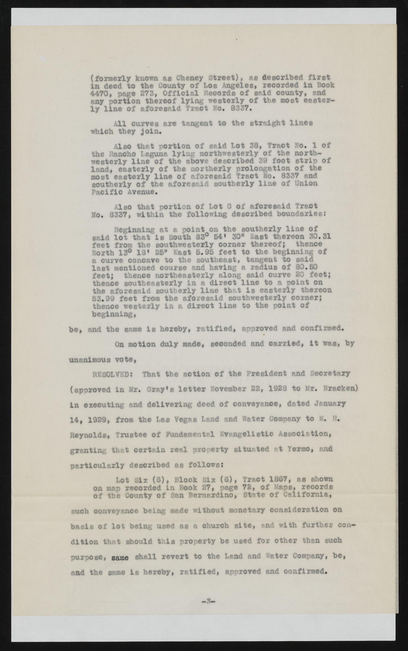
* ? (formerly known as Cheney Street), as described first in deed to the County of Los Angeles, recorded in Book 4470, page 273, Official Records of said county, and any portion thereof lying westerly of the most easterly line of aforesaid Tract Ho. 8337. All curve® are tangent to the straight lines which they join. Also that portion of said Lot 38, Tract Mo. 1 of the Rancho Laguna lying northwesterly of the northwesterly line of the above described 39 foot strip of land, easterly of the northerly prolongation of the most easterly line of aforesaid Traot Mo. 8337 and southerly of the aforesaid southerly line of Union Pacific Avenue. Also that portion of Lot G of aforesaid Traot No. 8337, within the following described boundaries* Beginning at a point on the southerly line of said lot that is south 83° 54* 30" last thereon 30.31 feet from the southwesterly comer thereof} thence North 13° 13* 25" East 5.95 feet to the. beginning of a curve concave to the southeast, tangent to said last mentioned course and having a radius of 80.50 feet; thence northeasterly along said curve 30 feet; thence southeasterly in a direct line to a point on the aforesaid southerly line that is easterly thereon 53.99 feet from the aforesaid southwesterly corner; thence westerly in a direct line to the point of beginning, be, and the same is hereby, ratified, approved and confirmed. On motion duly made, seconded and carried, it was, by unanimous vote, RESOLTED: That the action of the President and Secretary (approved in Mr. Gray’s letter November 22, 1928 to Mr. Bracken) in executing and delivering deed of conveyance, dated January 14, 1929, from the Lae Vegss Lend and Water Company to 1* H. Reynold®, Trustee of fundamental Evangelistic Association, granting that certain real property situated at Yermo, and p articu larly described as follows: Lot Six (8), Block Six (8), Tract 1867, as shown on map recorded in Book 27, page 72, of Maps, records of the County of San Bernardino, State of California, such conveyance being made without monetary consideration on basis of lot being used as a church site, and with further condition that should this property be used for other than such purpose, same shall revert to the Land and Water Company, be, and the same is hereby, ratified, approved and confirmed. | —3—

