Copyright & Fair-use Agreement
UNLV Special Collections provides copies of materials to facilitate private study, scholarship, or research. Material not in the public domain may be used according to fair use of copyrighted materials as defined by copyright law. Please cite us.
Please note that UNLV may not own the copyright to these materials and cannot provide permission to publish or distribute materials when UNLV is not the copyright holder. The user is solely responsible for determining the copyright status of materials and obtaining permission to use material from the copyright holder and for determining whether any permissions relating to any other rights are necessary for the intended use, and for obtaining all required permissions beyond that allowed by fair use.
Read more about our reproduction and use policy.
I agree.Information
Digital ID
Permalink
Details
Member of
More Info
Rights
Digital Provenance
Publisher
Transcription
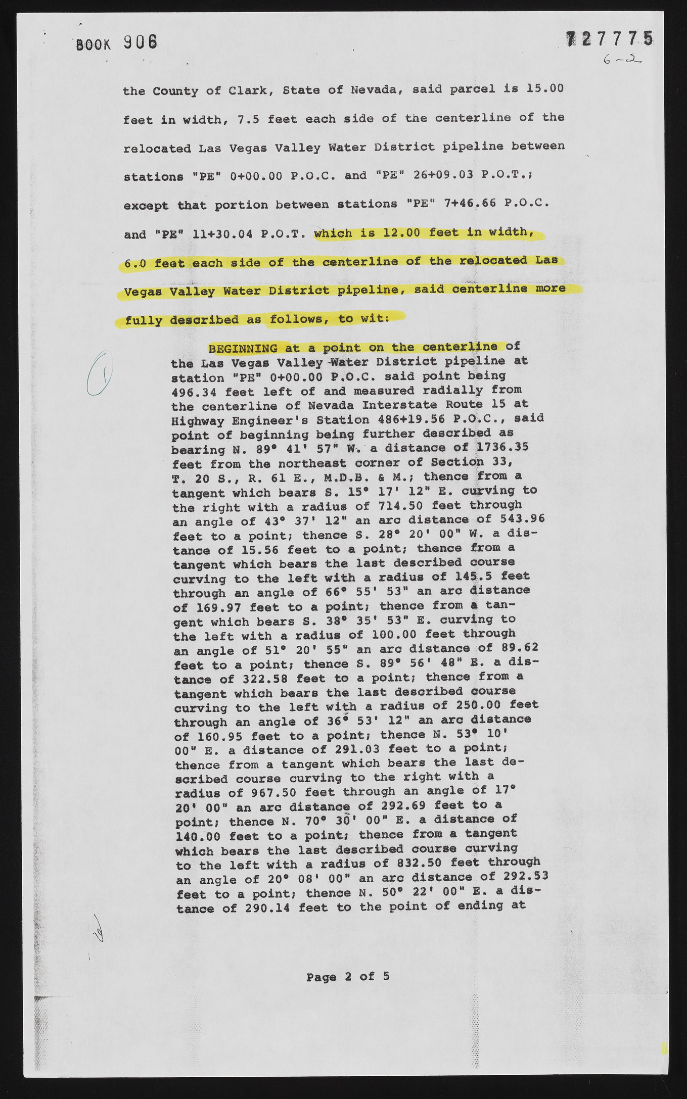
3 O f *1 7 7 7 t 6 the County of Clark, State of Nevada, said parcel is 15.00 feet in width, 7.5 feet each side of the centerline of the relocated Las Vegas Valley Water District pipeline between stations "PE" 0+00.00 P.O.C. and "PE" 26+09.03 P.O.T.; except that portion between stations ”PE" 7+46.66 P.O.C. and "PE" 11+30.04 P.O.T. which is 12.00 feet in width, 6.0 feet each side of the centerline of the relocated Las Vegas Valley Water District pipeline, said centerline more fully described as follows, to wit: BEGINNING at a point on the centerline of the Las Vegas Valley -Water District pipeline at station "PE" 0+00.00 P.O.C. said point being 496.34 feet left of and measured radially from the centerline of Nevada Interstate Route 15 at Highway Engineer's Station 486+19.56 P.O.C., said point of beginning being further described as bearing N. 89* 41* 57* W. a distance of 1736.35 feet from the northeast corner of Section 33, T. 20 S,, R. 61 E., M.D.B. & M.; thence from a tangent which bears S. 13* 17* 12* E. curving to the right with a radius of 714.50 feet through an angle of 43° 37' 12" an arc distance of 543.96 feet to a point; thence S. 28* 20' 00" W. a distance of 15.56 feet to a point; thence from a tangent which bears the last described course curving to the left with a radius of 143-.5 feet through an angle of 66* 55* 53" an arc (distance of 169.97 feet to a point; thence from a tangent which bears S. 38* 35* 53" E. curving to the left with a radius of 100.00 feet through an angle of 51* 20* 55" an arc distance of 89.62 feet to a point; thence S. 89* 56' 48" E. a distance of 322.58 feet to a point; thence from a tangent which bears the last described course curving to the left with a radius of 250.00 feet through an angle of 36* 53* 12" an arc distance of 160.95 feet to a point; thence N. 53* 10* 00" E. a distance of 291.03 feet to a point; thence from a tangent which bears the last described course curving to the right with a radius of 967.50 feet through an angle of 17* 20* 00" an arc distance of 292.69 feet to a point; thence N. 70* 3(1* 00" E. a distance of 140.00 feet to a point; thenoe from a tangent which bears the last described course curving to the left with a radius of 832.50 feet through an angle of 20* 08' 00* an are distance of 292.53 feet to a point; thenoe N. 50* 22* 00* E. a distance of 290.14 feet to the point of ending at Page 2 of 5

