Copyright & Fair-use Agreement
UNLV Special Collections provides copies of materials to facilitate private study, scholarship, or research. Material not in the public domain may be used according to fair use of copyrighted materials as defined by copyright law. Please cite us.
Please note that UNLV may not own the copyright to these materials and cannot provide permission to publish or distribute materials when UNLV is not the copyright holder. The user is solely responsible for determining the copyright status of materials and obtaining permission to use material from the copyright holder and for determining whether any permissions relating to any other rights are necessary for the intended use, and for obtaining all required permissions beyond that allowed by fair use.
Read more about our reproduction and use policy.
I agree.Information
Digital ID
Permalink
Details
Member of
More Info
Rights
Digital Provenance
Publisher
Transcription
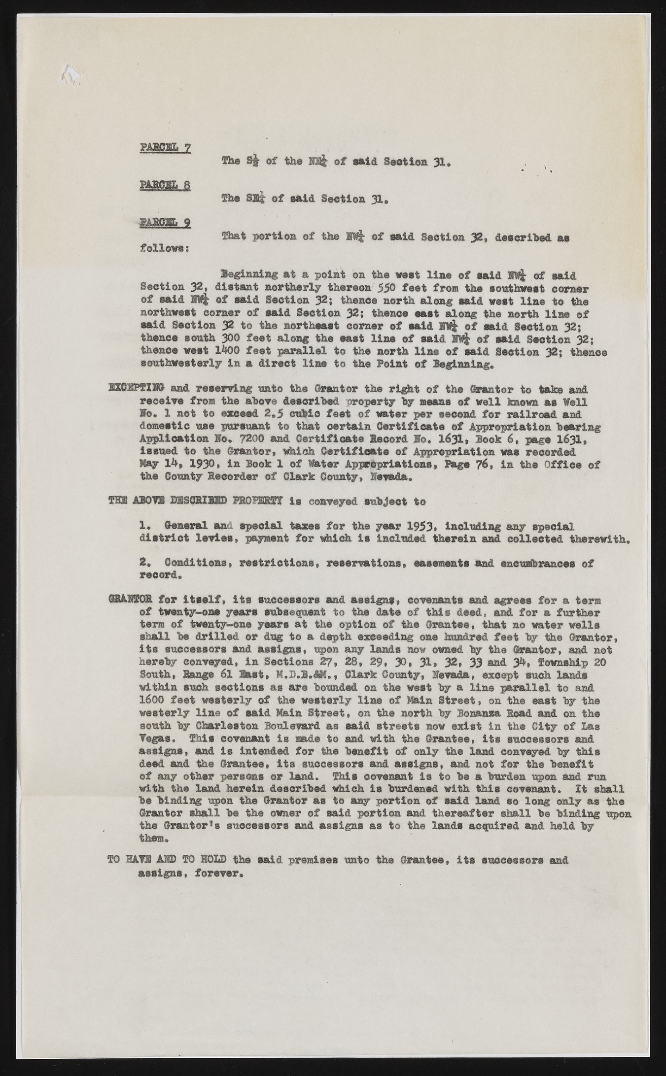
PAlCDIi 7 The S| of the EB& of said Section 31. BftJEtOBL 8 The Sli of said Section 31, m m . j That portion of the fflj of said Section 32, described as followst leginning at a point on the vest line of said BVfc of said Section 32, distant northerly thereon 550 feet from the southwest corner of said BV|r of said Section 32; thence north along said vest line to the northwest corner of said Section 32; thence eaet along the north line of said Section 32 to the northeast corner of said iw| of said Section 32; thanes south 300 feet along the east line of said of said Soetien 32; thenes vast 1400 feet parallel to the north line of said Station 32; thence southwesterly in a direct line to the Point of Beginning. EXCEPTING- and reserving unto the Grantor the right of the Grantor to take and receive from the above described property by means of well known as Veil Wo, 1 not to exceed 2,5 cubic feet of water per second for railroad and domestic use pursuant to that certain Certificate of Appropriation bearing Application Ho. 7200 and Certificate Record Wo, 1631, Book 6 , page 1631, issued to the Grantor, which Certificate of Appropriation was recorded Kay 14, 1930, in Book 1 of Water Appropriations, Page 76, in the Office of the County Recorder of Clark County, Nevada. THE ABOYE DESCRIBED PROPERTY is conveyed subject to 1. General and special taxes for the year 1953, including any special district levies, payment for which is included therein and collected therewith. 2, Conditions, restrictions, reservations, easements and encumbrances of record, GRAHT0R for itself, its successors and assigns, covenants and agrees for a term of twenty-one years subsequent to the date of this deed, and for a further term of twenty-one years at the option of the Grantee, that no water wells shall be drilled or dug to a depth exceeding one hundred feet by the Grantor, its successors and assigns, upon any lands now owned by the Grantor, and not hereby conveyed, in Sections 27, 28, 29, 30, 31* 32, 33 and 34, Township 20 South, Range 61 Bast, M.D.B.&M., Clark County, Nevada, except such lands within such sections as are bounded on the veet by a line parallel to and 1600 feet westerly of the westerly line of Main Street, on the east by the westerly line of said Main Street, on the north by Bonanza Road and on the south by Charleston Boulevard as said streets now exist in the City of Las Vegas. This covenant is made to and with the Grantee, Its successors and assigns, and is Intended for the benefit of only the land conveyed by this deed and the Grantee, its successors and assigns, and not for the benefit of any other persons or land. This covenant Is to be a burden upon and run with the land herein described which is burdened with this covenant. It shall be binding upon the Grantor as to way portion of said land so long only as the Grantor shall be the owner of said portion and thereafter shall be binding upon the Grantor1 s successors and assigns as to the lands acquired and held by them. TO HAVE AM) TO HOLD the said premises unto the Grantee, its successors and assigns, forever.

